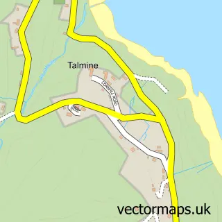
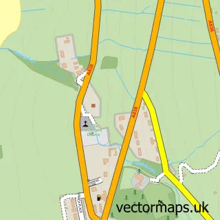
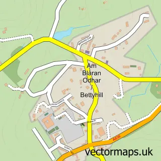
This Durness street map is a detailed vector street map covering a 750m x 750m area. Select a larger area to create and download your own vector street map of Durness.
The 750-metre map sample for Durness covers 70 mapped buildings and approximately 3.3 km of road detail, of which 1 named road are named. The wider area around Durness features 4 tourism points of interest and 1 hotel. To create a larger or custom map of Durness, the map builder lets you define your own coverage area and download editable SVG, PDF and PNG files.
Create a larger editable map of Durness
Choose any area you need and generate a high-quality vector map instantly. Perfect for print, planning, design, business and personal use.

This Durness street map in Sutherland is available as downloadable SVG, PDF and PNG map files, or as a printed map for planning, business, display, education, local information and design work. You can also create a larger custom map area using the map selector.
What this Durness map sample shows
Durness lies within Highland parish, part of North, West And Central Sutherland ward in the Highland local authority area. The postcode geography for this area includes the IV postcode area, the IV27 postcode district and the IV27 4 postcode sector. Residents fall under the Highland for NHS services.
Local features near Durness
Within 2 milesAmenities and services in and around Durness.
Administrative and postcode information for Durness
Durness lies within Highland parish, part of North, West And Central Sutherland ward in the Highland local authority area. The postcode geography for this area includes the IV postcode area, the IV27 postcode district and the IV27 4 postcode sector. Residents fall under the Highland for NHS services.
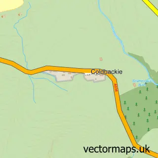
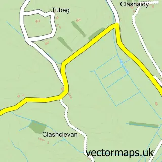
Nearby street map samples around Durness

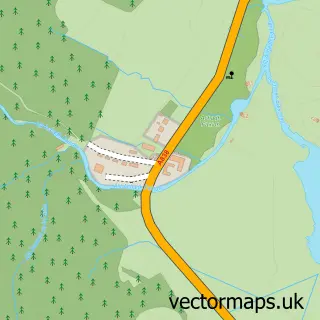
More street maps in Sutherland
750 metre map area coverage
Boundary, postcode and point of interest information for the 750m x 750m rectangle centred on this sample map.
Boundaries containing map centre
Constituency: Caithness, Sutherland and Easter Ross Co Const
District: Highland
Icb: Highland
Postcode District: IV27
Postcode Sector: IV27 4
Ward: North, West and Central Sutherland Ward
Nearby boundaries intersecting sample
No additional intersecting boundaries found.
Postcode coverage
POI category counts
Bed And Breakfast: 4
Campground: 2
Convenience Store: 2
Accommodation: 1
Breakfast And Brunch Restaurant: 1
Cabin: 1
Doctor: 1
Gas Station: 1
Hostel: 1
Lottery Ticket: 1
Sample points of interest
- Mackay's Rooms
- Aiden House B&B and Self Catering Shepherd Huts, Durness NC500
- Fashven B&B
- Glengolly Bed and Breakfast
- Wild Orchid Guest House
- Sango Sands Breakfast Bar
- The Cabin at Mackays - Self Catering Accommodation In Durness
- Durness campsite
- Sango Sands Oasis
- SPAR Durness
- The Durness Shop
- Scourie, Kinlochbervie And Durness Practice (Durness)
Create a larger editable map of Durness
This sample shows only a 750 metre area. To create a larger map of Durness, use our map builder to choose your own coverage area, add titles and download editable SVG, PDF and PNG files.
Create a custom map of Durness