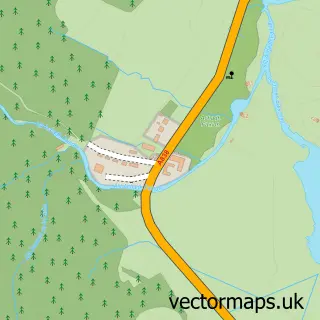
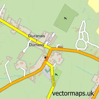
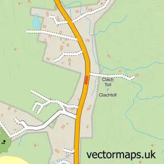
This Kinlochbervie street map is a detailed vector street map covering a 750m x 750m area. Select a larger area to create and download your own vector street map of Kinlochbervie.
The 750-metre map sample for Kinlochbervie covers 32 mapped buildings and approximately 4.6 km of road detail. The immediate area includes 1 GP surgery within 2 miles. The wider area around Kinlochbervie features 1 tourism point of interest, 3 food and drink venues and 2 hotels. To create a larger or custom map of Kinlochbervie, the map builder lets you define your own coverage area and download editable SVG, PDF and PNG files.
Create a larger editable map of Kinlochbervie
Choose any area you need and generate a high-quality vector map instantly. Perfect for print, planning, design, business and personal use.

This Kinlochbervie street map in Sutherland is available as downloadable SVG, PDF and PNG map files, or as a printed map for planning, business, display, education, local information and design work. You can also create a larger custom map area using the map selector.
What this Kinlochbervie map sample shows
Kinlochbervie lies within Highland parish, part of North, West And Central Sutherland ward in the Highland local authority area. The postcode geography for this area includes the IV postcode area, the IV27 postcode district and the IV27 4 postcode sector. Residents fall under the Highland for NHS services.
Local features near Kinlochbervie
Within 2 milesAmenities and services in and around Kinlochbervie.
Administrative and postcode information for Kinlochbervie
The local authority covering Kinlochbervie is Highland, within the county of Sutherland. The settlement lies within North, West And Central Sutherland ward and Highland civil parish. The IV27 postcode district and IV27 4 postcode sector serve the immediate area. NHS provision in the area is delivered through Highland.
Nearby street map samples around Kinlochbervie

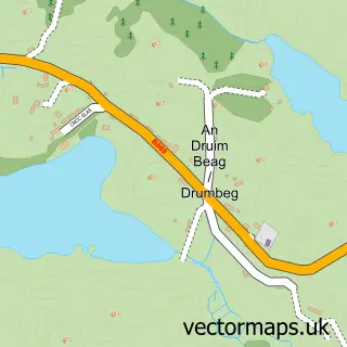
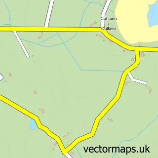
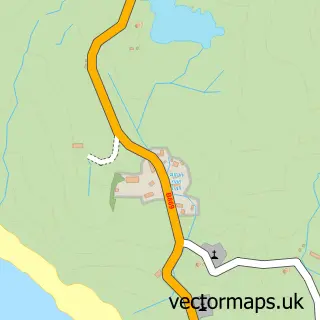
More street maps in Sutherland
750 metre map area coverage
Boundary, postcode and point of interest information for the 750m x 750m rectangle centred on this sample map.
Boundaries containing map centre
Constituency: Caithness, Sutherland and Easter Ross Co Const
District: Highland
Icb: Highland
Postcode District: IV27
Postcode Sector: IV27 4
Ward: North, West and Central Sutherland Ward
Nearby boundaries intersecting sample
No additional intersecting boundaries found.
Postcode coverage
POI category counts
Cafe: 2
Convenience Store: 2
Hotel: 2
Beauty Salon: 1
Catholic Church: 1
Charity Organization: 1
Coffee Shop: 1
Computer Hardware Company: 1
Flowers And Gifts Shop: 1
Food: 1
Sample points of interest
- Sage Salon
- The Quay House
- Worth A Look
- Durness & Kinlochbervie
- North & West Sutherland Citizens Advice Service
- Snack Shack
- Harrowden IT Ltd
- SPAR Kinlochbervie
- SPAR Kinlochbervie
- Bijou
- Kinlochbervie Fish Selling Company
- Bervie Stores LTD
Create a larger editable map of Kinlochbervie
This sample shows only a 750 metre area. To create a larger map of Kinlochbervie, use our map builder to choose your own coverage area, add titles and download editable SVG, PDF and PNG files.
Create a custom map of Kinlochbervie