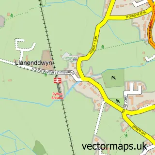
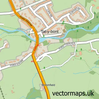
This Dyffryn Ardudwy street map is a detailed vector street map covering a 750m x 750m area. Select a larger area to create and download your own vector street map of Dyffryn Ardudwy.
The 750-metre map sample for Dyffryn Ardudwy covers 185 mapped buildings and approximately 8.7 km of road detail, of which 11 named roads are named. The immediate area includes 1 school and 1 MOT station. The wider area around Dyffryn Ardudwy features 2 tourism points of interest, 1 food and drink venue and 1 hotel. To create a larger or custom map of Dyffryn Ardudwy, the map builder lets you define your own coverage area and download editable SVG, PDF and PNG files.
Create a larger editable map of Dyffryn Ardudwy
Choose any area you need and generate a high-quality vector map instantly. Perfect for print, planning, design, business and personal use.

This Dyffryn Ardudwy street map in Gwynedd is available as downloadable SVG, PDF and PNG map files, or as a printed map for planning, business, display, education, local information and design work. You can also create a larger custom map area using the map selector.
What this Dyffryn Ardudwy map sample shows
Dyffryn Ardudwy lies within Dyffryn Ardudwy Community parish, part of Dyffryn Ardudwy ward in the Gwynedd - Gwynedd local authority area. The postcode geography for this area includes the LL postcode area, the LL44 postcode district and the LL44 2 postcode sector. Residents fall under the Betsi Cadwaladr University Health Board for NHS services.
Local features near Dyffryn Ardudwy
Within 2 milesAmenities and services in and around Dyffryn Ardudwy.
Administrative and postcode information for Dyffryn Ardudwy
Dyffryn Ardudwy lies within Dyffryn Ardudwy Community parish, part of Dyffryn Ardudwy ward in the Gwynedd - Gwynedd local authority area. The postcode geography for this area includes the LL postcode area, the LL44 postcode district and the LL44 2 postcode sector. Residents fall under the Betsi Cadwaladr University Health Board for NHS services.
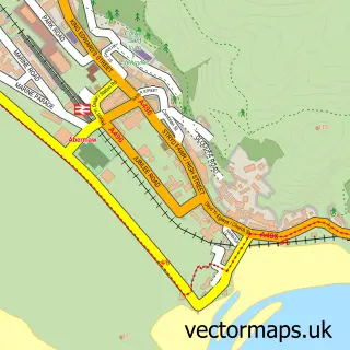
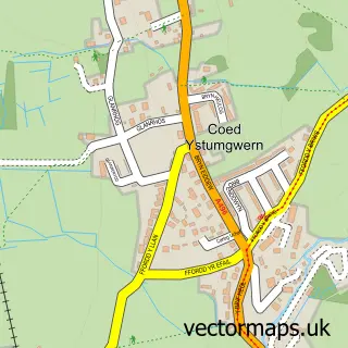
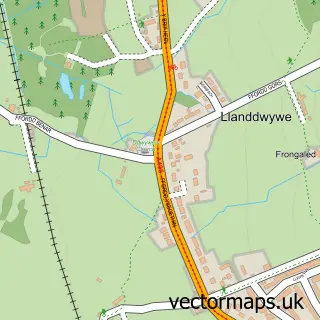
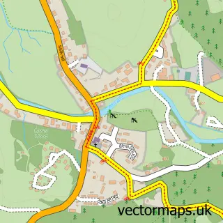
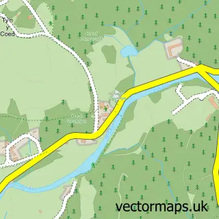
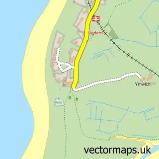
Nearby street map samples around Dyffryn Ardudwy

More street maps in Gwynedd
750 metre map area coverage
Boundary, postcode and point of interest information for the 750m x 750m rectangle centred on this sample map.
Boundaries containing map centre
Constituency: Dwyfor Meirionnydd Co Const
District: Gwynedd - Gwynedd
Icb: Betsi Cadwaladr University
Parish: Dyffryn Ardudwy Community
Police Force: north wales
Postcode District: LL44
Postcode Sector: LL44 2
Nearby boundaries intersecting sample
No additional intersecting boundaries found.
Postcode coverage
POI category counts
Convenience Store: 4
Automotive Repair: 2
Building Supply Store: 2
Car Dealer: 2
Art Gallery: 1
Arts And Entertainment: 1
Attractions And Activities: 1
Bed And Breakfast: 1
Cafe: 1
Campground: 1
Sample points of interest
- Oriel Ty Meirion
- Graphics Shed Limited
- Dyffryn Ardudwy Burial Chamber
- J H & E J Roberts & Sons
- Smithy Garage
- The Old Farmhouse
- Huws Gray
- Huws Gray
- Village Hall and Internet Cafe, Dyffryn Ardudwy.
- N E Mills
- Midway Motors
- Smithy Garage Limited
Create a larger editable map of Dyffryn Ardudwy
This sample shows only a 750 metre area. To create a larger map of Dyffryn Ardudwy, use our map builder to choose your own coverage area, add titles and download editable SVG, PDF and PNG files.
Create a custom map of Dyffryn Ardudwy