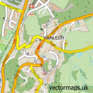
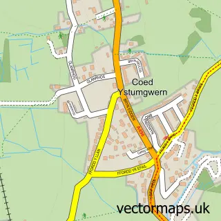
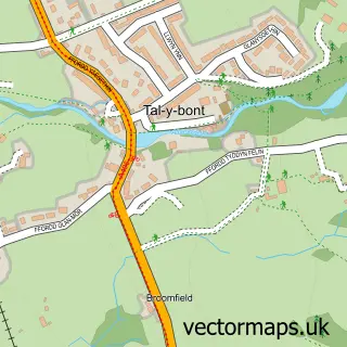
This Llanbedr street map is a detailed vector street map covering a 750m x 750m area. Select a larger area to create and download your own vector street map of Llanbedr.
The 750-metre map sample for Llanbedr covers 193 mapped buildings and approximately 10.3 km of road detail, of which 3 named roads are named. The immediate area includes 1 school and 1 pub. The wider area around Llanbedr features 2 tourism points of interest, 2 food and drink venues and 5 hotels. To create a larger or custom map of Llanbedr, the map builder lets you define your own coverage area and download editable SVG, PDF and PNG files.
Create a larger editable map of Llanbedr
Choose any area you need and generate a high-quality vector map instantly. Perfect for print, planning, design, business and personal use.

This Llanbedr street map in Gwynedd is available as downloadable SVG, PDF and PNG map files, or as a printed map for planning, business, display, education, local information and design work. You can also create a larger custom map area using the map selector.
What this Llanbedr map sample shows
Llanbedr lies within Llanbedr Community parish, part of Llanbedr ward in the Gwynedd - Gwynedd local authority area. The postcode geography for this area includes the LL postcode area, the LL45 postcode district and the LL45 2 postcode sector. Residents fall under the Betsi Cadwaladr University Health Board for NHS services.
Local features near Llanbedr
Within 2 milesAmenities and services in and around Llanbedr.
Administrative and postcode information for Llanbedr
The local authority covering Llanbedr is Gwynedd - Gwynedd, within the county of Gwynedd. The settlement lies within Llanbedr ward and Llanbedr Community civil parish. The LL45 postcode district and LL45 2 postcode sector serve the immediate area. NHS provision in the area is delivered through Betsi Cadwaladr University Health Board.
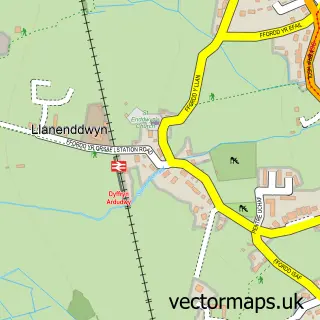
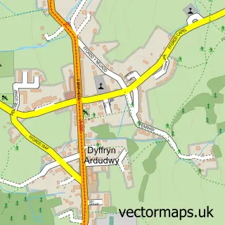
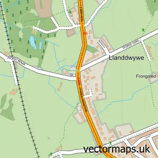
Nearby street map samples around Llanbedr

More street maps in Gwynedd
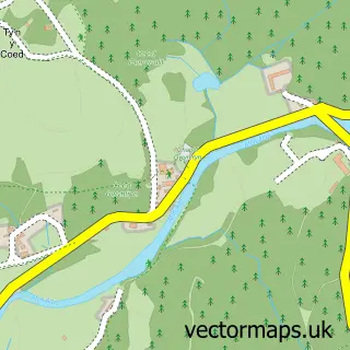
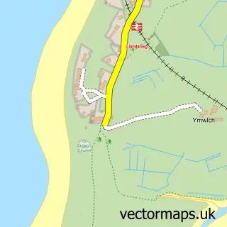
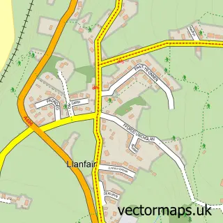
750 metre map area coverage
Boundary, postcode and point of interest information for the 750m x 750m rectangle centred on this sample map.
Boundaries containing map centre
Constituency: Dwyfor Meirionnydd Co Const
District: Gwynedd - Gwynedd
Icb: Betsi Cadwaladr University
Parish: Llanbedr Community
Police Force: north wales
Postcode District: LL45
Postcode Sector: LL45 2
Nearby boundaries intersecting sample
No additional intersecting boundaries found.
Postcode coverage
POI category counts
Hotel: 5
Lodge: 2
Post Office: 2
Accommodation: 1
Agricultural Cooperatives: 1
Architect: 1
Bakery: 1
Barber: 1
Beauty And Spa: 1
Bed And Breakfast: 1
Sample points of interest
- Cae'r Meddyg Farmhouse & Annexe
- CCF Llanbedr Branch
- Gruffydd Price
- Yr Hen Fecws The Old Bakery
- Soph's Barbershop.Barber Mens Haircut, Styling Skinfades Perm`s, Hot towel wet Shave. Gwynedd
- Eclipz Llanbedr
- Victoria Inn
- Snowdonia Cycles
- Snowdonia Aerospace LLP
- Wenallt Cafe
- St. Peters Llanbedr Church in Bro Ardudwy
- Clynderwen & Cardiganshire Farmers
Create a larger editable map of Llanbedr
This sample shows only a 750 metre area. To create a larger map of Llanbedr, use our map builder to choose your own coverage area, add titles and download editable SVG, PDF and PNG files.
Create a custom map of Llanbedr