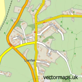
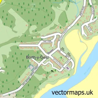
This Harlech street map is a detailed vector street map covering a 750m x 750m area. Select a larger area to create and download your own vector street map of Harlech.
The 750-metre map sample for Harlech covers 216 mapped buildings and approximately 19.8 km of road detail, of which 16 named roads are named. The immediate area includes 1 school, 1 railway station, 1 GP surgery within 2 miles and 2 pubs among other local services. The wider area around Harlech features 5 tourism points of interest, 11 food and drink venues and 5 hotels. To create a larger or custom map of Harlech, the map builder lets you define your own coverage area and download editable SVG, PDF and PNG files.
Create a larger editable map of Harlech
Choose any area you need and generate a high-quality vector map instantly. Perfect for print, planning, design, business and personal use.

This Harlech street map in Gwynedd is available as downloadable SVG, PDF and PNG map files, or as a printed map for planning, business, display, education, local information and design work. You can also create a larger custom map area using the map selector.
What this Harlech map sample shows
Harlech lies within Harlech Community parish, part of Harlech ward in the Gwynedd - Gwynedd local authority area. The postcode geography for this area includes the LL postcode area, the LL46 postcode district and the LL46 2 postcode sector. Residents fall under the Betsi Cadwaladr University Health Board for NHS services.
Local features near Harlech
Within 2 milesAmenities and services in and around Harlech.
Administrative and postcode information for Harlech
The local authority covering Harlech is Gwynedd - Gwynedd, within the county of Gwynedd. The settlement lies within Harlech ward and Harlech Community civil parish. The LL46 postcode district and LL46 2 postcode sector serve the immediate area. NHS provision in the area is delivered through Betsi Cadwaladr University Health Board.
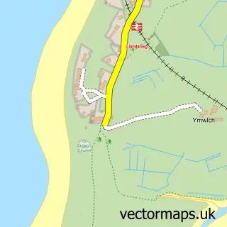
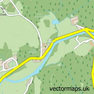
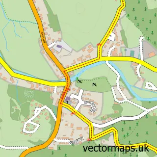
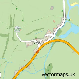
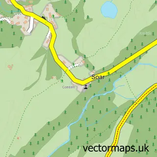
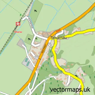
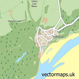
Nearby street map samples around Harlech

More street maps in Gwynedd
750 metre map area coverage
Boundary, postcode and point of interest information for the 750m x 750m rectangle centred on this sample map.
Boundaries containing map centre
Constituency: Dwyfor Meirionnydd Co Const
District: Gwynedd - Gwynedd
Icb: Betsi Cadwaladr University
Parish: Harlech Community
Police Force: north wales
Postcode District: LL46
Postcode Sector: LL46 2
Nearby boundaries intersecting sample
No additional intersecting boundaries found.
Postcode coverage
POI category counts
Bed And Breakfast: 5
Cafe: 5
Hotel: 5
Church Cathedral: 3
Convenience Store: 3
Flowers And Gifts Shop: 3
Train Station: 3
Art Museum: 2
Castle: 2
Chinese Restaurant: 2
Sample points of interest
- Galeri Harlech
- Castell Harlech
- Harlech Castle/ Castell Harlech
- Two Black Sheep
- West Coast Remaps
- The Plas Harlech
- Castle Hair Studio
- 𝓐𝓹𝓸𝓵𝓵𝓸 𝓣𝓪𝓷𝓷𝓲𝓷𝓰
- Byrdir House
- Castle Cottage Inn
- Crown Lodge
- Maelgwyn House
Create a larger editable map of Harlech
This sample shows only a 750 metre area. To create a larger map of Harlech, use our map builder to choose your own coverage area, add titles and download editable SVG, PDF and PNG files.
Create a custom map of Harlech