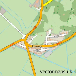
This Talsarnau street map is a detailed vector street map covering a 750m x 750m area. Select a larger area to create and download your own vector street map of Talsarnau.
The 750-metre map sample for Talsarnau covers 106 mapped buildings and approximately 11.6 km of road detail, of which 4 named roads are named. The immediate area includes 1 school, 1 railway station and 1 MOT station, with 3 within 2 miles. The wider area around Talsarnau features 1 tourism point of interest, 2 food and drink venues and 2 campsites within 2 miles. To create a larger or custom map of Talsarnau, the map builder lets you define your own coverage area and download editable SVG, PDF and PNG files.
Create a larger editable map of Talsarnau
Choose any area you need and generate a high-quality vector map instantly. Perfect for print, planning, design, business and personal use.

This Talsarnau street map in Gwynedd is available as downloadable SVG, PDF and PNG map files, or as a printed map for planning, business, display, education, local information and design work. You can also create a larger custom map area using the map selector.
What this Talsarnau map sample shows
Talsarnau lies within Talsarnau Community parish, part of Harlech ward in the Gwynedd - Gwynedd local authority area. The postcode geography for this area includes the LL postcode area, the LL47 postcode district and the LL47 6 postcode sector. Residents fall under the Betsi Cadwaladr University Health Board for NHS services.
Local features near Talsarnau
Within 2 milesAmenities and services in and around Talsarnau.
Administrative and postcode information for Talsarnau
Talsarnau lies within Talsarnau Community parish, part of Harlech ward in the Gwynedd - Gwynedd local authority area. The postcode geography for this area includes the LL postcode area, the LL47 postcode district and the LL47 6 postcode sector. Residents fall under the Betsi Cadwaladr University Health Board for NHS services.
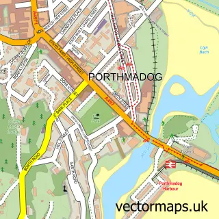
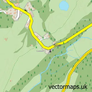
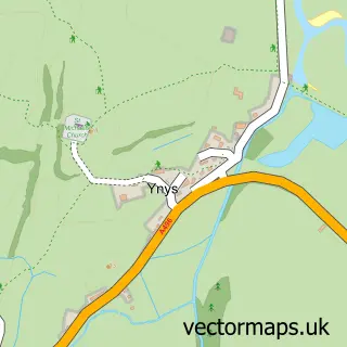
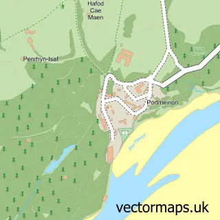
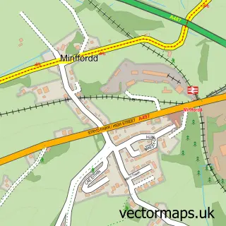
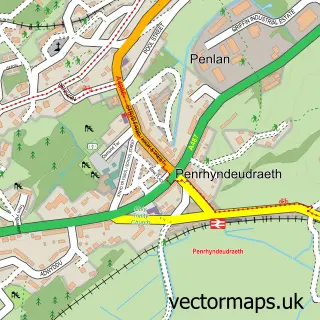
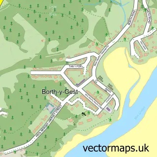
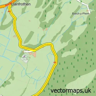
Nearby street map samples around Talsarnau

More street maps in Gwynedd
750 metre map area coverage
Boundary, postcode and point of interest information for the 750m x 750m rectangle centred on this sample map.
Boundaries containing map centre
Constituency: Dwyfor Meirionnydd Co Const
District: Gwynedd - Gwynedd
Icb: Betsi Cadwaladr University
Parish: Talsarnau Community
Police Force: north wales
Postcode District: LL47
Postcode Sector: LL47 6
Nearby boundaries intersecting sample
No additional intersecting boundaries found.
Postcode coverage
POI category counts
Restaurant: 2
Train Station: 2
Automotive Dealer: 1
Automotive Services And Repair: 1
Bed And Breakfast: 1
Building Contractor: 1
Cottage: 1
Dance Club: 1
Education: 1
Evangelical Church: 1
Sample points of interest
- Isuzu UK
- RED Performance
- Estuary Lodge
- G & W Wigglesworth Builders
- Estuary Cottage
- Dazzle disco and karaoke
- Ysgol Talsarnau
- Eglwys Efengylaidd Ardudwy
- Talsamau
- Estuary Lodge Motel & Café (Hafan Llwyfen)
- Post Office
- Tremeifion Vegiterian Hotel
Create a larger editable map of Talsarnau
This sample shows only a 750 metre area. To create a larger map of Talsarnau, use our map builder to choose your own coverage area, add titles and download editable SVG, PDF and PNG files.
Create a custom map of Talsarnau