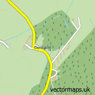
This Dyke street map is a detailed vector street map covering a 750m x 750m area. Select a larger area to create and download your own vector street map of Dyke.
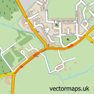
The 750-metre map sample for Dyke covers 71 mapped buildings and approximately 5.1 km of road detail, of which 6 named roads are named. To create a larger or custom map of Dyke, the map builder lets you define your own coverage area and download editable SVG, PDF and PNG files.
Create a larger editable map of Dyke
Choose any area you need and generate a high-quality vector map instantly. Perfect for print, planning, design, business and personal use.

This Dyke street map in Moray is available as downloadable SVG, PDF and PNG map files, or as a printed map for planning, business, display, education, local information and design work. You can also create a larger custom map area using the map selector.
What this Dyke map sample shows
Dyke lies within Moray parish, part of Forres ward in the Moray local authority area. The postcode geography for this area includes the IV postcode area, the IV36 postcode district and the IV36 2 postcode sector. Residents fall under the Grampian for NHS services.
Administrative and postcode information for Dyke
Dyke lies within Moray parish, part of Forres ward in the Moray local authority area. The postcode geography for this area includes the IV postcode area, the IV36 postcode district and the IV36 2 postcode sector. Residents fall under the Grampian for NHS services.
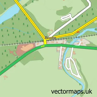
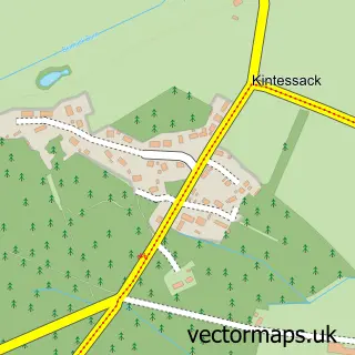
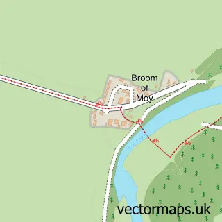
Nearby street map samples around Dyke

More street maps in Moray
750 metre map area coverage
Boundary, postcode and point of interest information for the 750m x 750m rectangle centred on this sample map.
Boundaries containing map centre
Constituency: Moray West, Nairn and Strathspey Co Const
District: Moray
Icb: Grampian
Postcode District: IV36
Postcode Sector: IV36 2
Ward: Forres Ward
Nearby boundaries intersecting sample
No additional intersecting boundaries found.
Postcode coverage
POI category counts
Driving School: 2
Accountant: 1
Bed And Breakfast: 1
Catholic Church: 1
Church Cathedral: 1
Circus: 1
Elementary School: 1
Farm: 1
Makeup Artist: 1
Mortgage Broker: 1
Sample points of interest
- Highland Payroll Services
- Fincairn Bed & Breakfast
- Dyke
- Dyke Parish Church
- Moray Flying Circus
- B S M
- Farle Driving School
- Dyke Primary School
- The Teeny Weeny Farm
- Andrea Maxwell Hair & Makeup
- Commercial Property Finance Consultancy Ltd.
- Dyke Pre-School
Create a larger editable map of Dyke
This sample shows only a 750 metre area. To create a larger map of Dyke, use our map builder to choose your own coverage area, add titles and download editable SVG, PDF and PNG files.
Create a custom map of Dyke