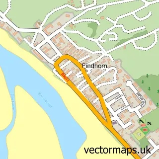
This Kintessack street map is a detailed vector street map covering a 750m x 750m area. Select a larger area to create and download your own vector street map of Kintessack.
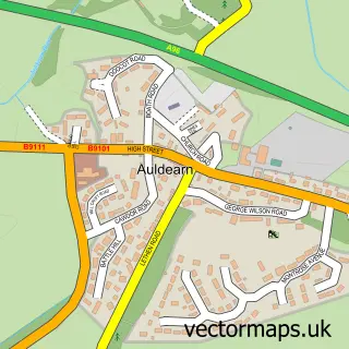
The 750-metre map sample for Kintessack covers 72 mapped buildings and approximately 10.7 km of road detail. The immediate area includes 1 MOT station within 2 miles. To create a larger or custom map of Kintessack, the map builder lets you define your own coverage area and download editable SVG, PDF and PNG files.
Create a larger editable map of Kintessack
Choose any area you need and generate a high-quality vector map instantly. Perfect for print, planning, design, business and personal use.

This Kintessack street map in Moray is available as downloadable SVG, PDF and PNG map files, or as a printed map for planning, business, display, education, local information and design work. You can also create a larger custom map area using the map selector.
What this Kintessack map sample shows
Kintessack lies within Moray parish, part of Forres ward in the Moray local authority area. The postcode geography for this area includes the IV postcode area, the IV36 postcode district and the IV36 2 postcode sector. Residents fall under the Grampian for NHS services.
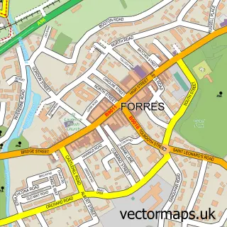
Local features near Kintessack
Within 2 milesAmenities and services in and around Kintessack.
Administrative and postcode information for Kintessack
Kintessack lies within Moray parish, part of Forres ward in the Moray local authority area. The postcode geography for this area includes the IV postcode area, the IV36 postcode district and the IV36 2 postcode sector. Residents fall under the Grampian for NHS services.
Nearby street map samples around Kintessack

More street maps in Moray
750 metre map area coverage
Boundary, postcode and point of interest information for the 750m x 750m rectangle centred on this sample map.
Boundaries containing map centre
Constituency: Moray West, Nairn and Strathspey Co Const
District: Moray
Icb: Grampian
Postcode District: IV36
Postcode Sector: IV36 2
Ward: Forres Ward
Nearby boundaries intersecting sample
No additional intersecting boundaries found.
Postcode coverage
POI category counts
Animal Shelter: 1
Beauty Salon: 1
Building Contractor: 1
Business Management Services: 1
Forest: 1
Nursery And Gardening: 1
Public Relations: 1
Sample points of interest
- Culbin Cats
- Unique Skin Clinics
- Mike Squirrell
- Hill99 Design Studio
- Culbin Forest
- The Plant Whisperer Nursery
- Claire Doughty Publicity
Create a larger editable map of Kintessack
This sample shows only a 750 metre area. To create a larger map of Kintessack, use our map builder to choose your own coverage area, add titles and download editable SVG, PDF and PNG files.
Create a custom map of Kintessack