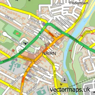
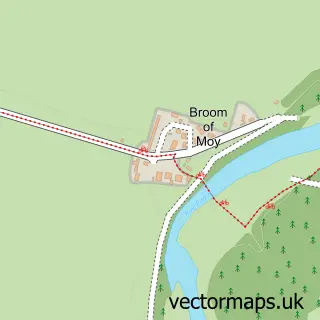
This Auldearn street map is a detailed vector street map covering a 750m x 750m area. Select a larger area to create and download your own vector street map of Auldearn.
The 750-metre map sample for Auldearn covers 151 mapped buildings and approximately 15.3 km of road detail, of which 14 named roads are named. The immediate area includes 1 MOT station within 2 miles. The wider area around Auldearn features 2 tourism points of interest and 1 hotel. To create a larger or custom map of Auldearn, the map builder lets you define your own coverage area and download editable SVG, PDF and PNG files.
Create a larger editable map of Auldearn
Choose any area you need and generate a high-quality vector map instantly. Perfect for print, planning, design, business and personal use.

This Auldearn street map in Nairn is available as downloadable SVG, PDF and PNG map files, or as a printed map for planning, business, display, education, local information and design work. You can also create a larger custom map area using the map selector.
What this Auldearn map sample shows
Auldearn lies within Highland parish, part of Nairn And Cawdor ward in the Highland local authority area. The postcode geography for this area includes the IV postcode area, the IV12 postcode district and the IV12 5 postcode sector. Residents fall under the Highland for NHS services.
Local features near Auldearn
Within 2 milesAmenities and services in and around Auldearn.
Administrative and postcode information for Auldearn
Auldearn lies within Highland parish, part of Nairn And Cawdor ward in the Highland local authority area. The postcode geography for this area includes the IV postcode area, the IV12 postcode district and the IV12 5 postcode sector. Residents fall under the Highland for NHS services.
Nearby street map samples around Auldearn

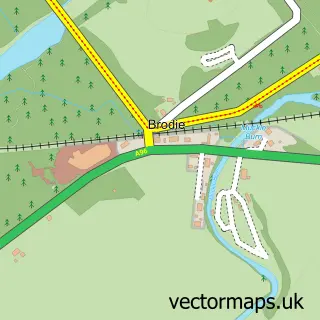
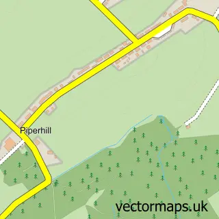
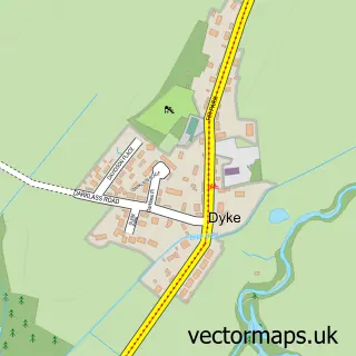
More street maps in Nairn
750 metre map area coverage
Boundary, postcode and point of interest information for the 750m x 750m rectangle centred on this sample map.
Boundaries containing map centre
Constituency: Moray West, Nairn and Strathspey Co Const
District: Highland
Icb: Highland
Postcode District: IV12
Postcode Sector: IV12 5
Ward: Nairn and Cawdor Ward
Nearby boundaries intersecting sample
No additional intersecting boundaries found.
Postcode coverage
POI category counts
Landmark And Historical Building: 2
Alternative Medicine: 1
Antique Store: 1
Art Gallery: 1
Catholic Church: 1
Community Center: 1
Elementary School: 1
Fence And Gate Sales Service: 1
Hair Salon: 1
Holiday Rental Home: 1
Sample points of interest
- Nairn Hydrotherapy Pool
- Auldearn Antiques
- Sally Gunn Art
- Auldearn and Dalmore
- Fornighty Hall
- Auldearn Primary School
- Auldearn Fencing
- Aura Health & Beauty Spa
- The Hideaway Auldearn
- Covenanters Inn
- Nairn tandoori
- The 1645 Inn
Create a larger editable map of Auldearn
This sample shows only a 750 metre area. To create a larger map of Auldearn, use our map builder to choose your own coverage area, add titles and download editable SVG, PDF and PNG files.
Create a custom map of Auldearn