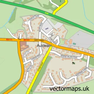
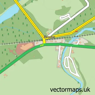
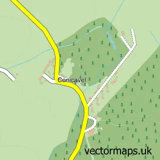
This Nairn street map is a detailed vector street map covering a 750m x 750m area. Select a larger area to create and download your own vector street map of Nairn.
The 750-metre map sample for Nairn covers 150 mapped buildings and approximately 25.2 km of road detail, of which 58 named roads are named. The immediate area includes 1 GP surgery within 2 miles, 3 pubs and 1 MOT station, with 3 within 2 miles. The wider area around Nairn features 3 tourism points of interest, 12 food and drink venues and 9 hotels. To create a larger or custom map of Nairn, the map builder lets you define your own coverage area and download editable SVG, PDF and PNG files.
Create a larger editable map of Nairn
Choose any area you need and generate a high-quality vector map instantly. Perfect for print, planning, design, business and personal use.

This Nairn street map in Nairn is available as downloadable SVG, PDF and PNG map files, or as a printed map for planning, business, display, education, local information and design work. You can also create a larger custom map area using the map selector.
What this Nairn map sample shows
Nairn lies within Highland parish, part of Nairn And Cawdor ward in the Highland local authority area. The postcode geography for this area includes the IV postcode area, the IV12 postcode district and the IV12 4 postcode sector. Residents fall under the Highland for NHS services.
Local features near Nairn
Within 2 milesAmenities and services in and around Nairn.
Administrative and postcode information for Nairn
The local authority covering Nairn is Highland, within the county of Nairn. The settlement lies within Nairn And Cawdor ward and Highland civil parish. The IV12 postcode district and IV12 4 postcode sector serve the immediate area. NHS provision in the area is delivered through Highland.
Nearby street map samples around Nairn

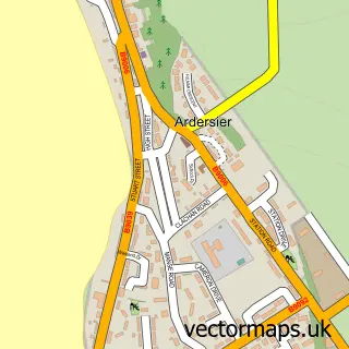
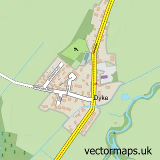
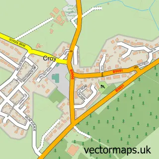
More street maps in Nairn
750 metre map area coverage
Boundary, postcode and point of interest information for the 750m x 750m rectangle centred on this sample map.
Boundaries containing map centre
Constituency: Moray West, Nairn and Strathspey Co Const
District: Highland
Icb: Highland
Postcode District: IV12
Postcode Sector: IV12 4
Ward: Nairn and Cawdor Ward
Nearby boundaries intersecting sample
Postcode Sector: IV12 5
Postcode coverage
POI category counts
Hotel: 9
Beauty Salon: 7
Church Cathedral: 6
Flowers And Gifts Shop: 6
Bar: 5
Community Services Non Profits: 5
Hair Salon: 5
Restaurant: 5
Barber: 4
Bed And Breakfast: 4
Sample points of interest
- J Coleman
- Ritson Young
- Airlie Complementary Clinic
- Blythswood Care
- C M Design
- Caledonian Craft Connections
- Kaymac Art
- Caora Air Mara
- nairn wool shop
- Mr Tan
- Carers Scotland Limited
- The Cooperative Food Nairn - King Street
Create a larger editable map of Nairn
This sample shows only a 750 metre area. To create a larger map of Nairn, use our map builder to choose your own coverage area, add titles and download editable SVG, PDF and PNG files.
Create a custom map of Nairn