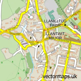
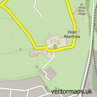
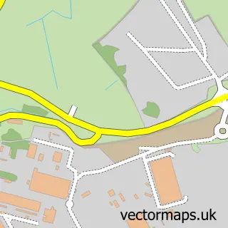
This East Aberthaw street map is a detailed vector street map covering a 750m x 750m area. Select a larger area to create and download your own vector street map of East Aberthaw.
The 750-metre map sample for East Aberthaw covers 55 mapped buildings and approximately 10.0 km of road detail, of which 2 named roads are named. The immediate area includes 5 GP surgeries within 2 miles, 1 pub and 1 MOT station within 2 miles. The wider area around East Aberthaw features 1 food and drink venue. To create a larger or custom map of East Aberthaw, the map builder lets you define your own coverage area and download editable SVG, PDF and PNG files.
Create a larger editable map of East Aberthaw
Choose any area you need and generate a high-quality vector map instantly. Perfect for print, planning, design, business and personal use.

This East Aberthaw street map in South Glamorgan is available as downloadable SVG, PDF and PNG map files, or as a printed map for planning, business, display, education, local information and design work. You can also create a larger custom map area using the map selector.
What this East Aberthaw map sample shows
East Aberthaw lies within Rhoose Community parish, part of Rhoose ward in the Bro Morgannwg - The Vale Of Glamorgan local authority area. The postcode geography for this area includes the CF postcode area, the CF62 postcode district and the CF62 3 postcode sector. Residents fall under the Cardiff And Vale University Health Board for NHS services.
Local features near East Aberthaw
Within 2 milesAmenities and services in and around East Aberthaw.
Administrative and postcode information for East Aberthaw
The local authority covering East Aberthaw is Bro Morgannwg - The Vale Of Glamorgan, within the county of South Glamorgan. The settlement lies within Rhoose ward and Rhoose Community civil parish. The CF62 postcode district and CF62 3 postcode sector serve the immediate area. NHS provision in the area is delivered through Cardiff And Vale University Health Board.
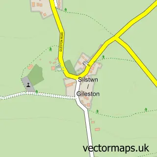
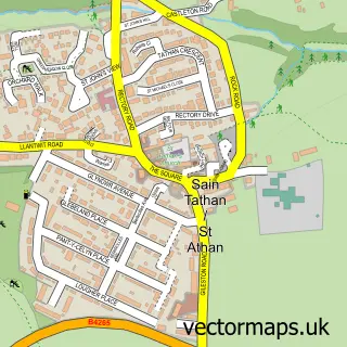
Nearby street map samples around East Aberthaw


More street maps in South Glamorgan
750 metre map area coverage
Boundary, postcode and point of interest information for the 750m x 750m rectangle centred on this sample map.
Boundaries containing map centre
Constituency: Vale of Glamorgan Co Const
District: Bro Morgannwg - the Vale of Glamorgan
Icb: Cardiff and Vale University
Parish: Rhoose Community
Police Force: south wales
Postcode District: CF62
Postcode Sector: CF62 3
Nearby boundaries intersecting sample
No additional intersecting boundaries found.
Postcode coverage
POI category counts
Beach: 1
Building Supply Store: 1
Contractor: 1
Freight And Cargo Service: 1
Online Shop: 1
Pub: 1
Train Station: 1
Sample points of interest
- Aberthaw Lime Works
- William Jenkins Contractors
- Interior Systems Wales Ltd
- KCS Transport
- Starlight Loft Conversions
- Blue Anchor Inn
- Aberthaw High Level railway station
Create a larger editable map of East Aberthaw
This sample shows only a 750 metre area. To create a larger map of East Aberthaw, use our map builder to choose your own coverage area, add titles and download editable SVG, PDF and PNG files.
Create a custom map of East Aberthaw