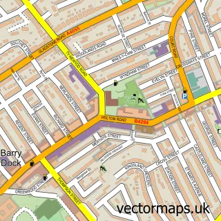
This Rhoose street map is a detailed vector street map covering a 750m x 750m area. Select a larger area to create and download your own vector street map of Rhoose.
The 750-metre map sample for Rhoose covers 533 mapped buildings and approximately 18.5 km of road detail, of which 35 named roads are named. The immediate area includes 2 schools, 1 railway station, 1 GP surgery, with 3 within 2 miles and 1 MOT station within 2 miles. The wider area around Rhoose features 1 tourism point of interest, 2 food and drink venues and 1 campsite within 2 miles. To create a larger or custom map of Rhoose, the map builder lets you define your own coverage area and download editable SVG, PDF and PNG files.
Create a larger editable map of Rhoose
Choose any area you need and generate a high-quality vector map instantly. Perfect for print, planning, design, business and personal use.

This Rhoose street map in South Glamorgan is available as downloadable SVG, PDF and PNG map files, or as a printed map for planning, business, display, education, local information and design work. You can also create a larger custom map area using the map selector.
What this Rhoose map sample shows
Rhoose lies within Rhoose Community parish, part of Rhoose ward in the Bro Morgannwg - The Vale Of Glamorgan local authority area. The postcode geography for this area includes the CF postcode area, the CF62 postcode district and the CF62 3 postcode sector. Residents fall under the Cardiff And Vale University Health Board for NHS services.
Local features near Rhoose
Within 2 milesAmenities and services in and around Rhoose.
Administrative and postcode information for Rhoose
The local authority covering Rhoose is Bro Morgannwg - The Vale Of Glamorgan, within the county of South Glamorgan. The settlement lies within Rhoose ward and Rhoose Community civil parish. The CF62 postcode district and CF62 3 postcode sector serve the immediate area. NHS provision in the area is delivered through Cardiff And Vale University Health Board.
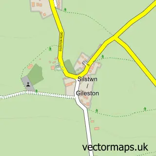
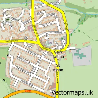
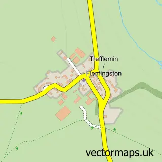
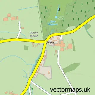
Nearby street map samples around Rhoose


More street maps in South Glamorgan
750 metre map area coverage
Boundary, postcode and point of interest information for the 750m x 750m rectangle centred on this sample map.
Boundaries containing map centre
Constituency: Vale of Glamorgan Co Const
District: Bro Morgannwg - the Vale of Glamorgan
Icb: Cardiff and Vale University
Parish: Rhoose Community
Police Force: south wales
Postcode District: CF62
Postcode Sector: CF62 3
Nearby boundaries intersecting sample
No additional intersecting boundaries found.
Postcode coverage
POI category counts
Butcher Shop: 3
Convenience Store: 3
Cafe: 2
Community Center: 2
Driving School: 2
Library: 2
Train Station: 2
Accommodation: 1
Airlines: 1
Airport: 1
Sample points of interest
- Rhoose Village
- Dragonfly
- South Wales Helicopter Flights
- Hayley Huckson
- Respite Care
- Spar - Rhoose, Rhoose
- Broad Haven, Pembrokeshire
- Grant Appliance Solutions Ltd
- TinyTalk Baby Signing & music classes
- Deano's Barber Shop
- The Beauty Corner
- Carbon Row
Create a larger editable map of Rhoose
This sample shows only a 750 metre area. To create a larger map of Rhoose, use our map builder to choose your own coverage area, add titles and download editable SVG, PDF and PNG files.
Create a custom map of Rhoose