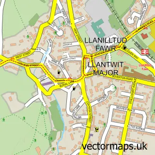
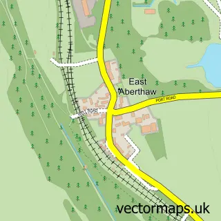
This St Athan street map is a detailed vector street map covering a 750m x 750m area. Select a larger area to create and download your own vector street map of St Athan.
The 750-metre map sample for St Athan covers 406 mapped buildings and approximately 16.4 km of road detail, of which 26 named roads are named. The immediate area includes 1 school, 2 GP surgeries and 2 pubs. The wider area around St Athan features 3 food and drink venues, 1 hotel and 1 campsite within 2 miles. To create a larger or custom map of St Athan, the map builder lets you define your own coverage area and download editable SVG, PDF and PNG files.
Create a larger editable map of St Athan
Choose any area you need and generate a high-quality vector map instantly. Perfect for print, planning, design, business and personal use.

This St Athan street map in South Glamorgan is available as downloadable SVG, PDF and PNG map files, or as a printed map for planning, business, display, education, local information and design work. You can also create a larger custom map area using the map selector.
What this St Athan map sample shows
St Athan lies within St. Athan Community parish, part of St. Athan ward in the Bro Morgannwg - The Vale Of Glamorgan local authority area. The postcode geography for this area includes the CF postcode area, the CF62 postcode district and the CF62 4 postcode sector. Residents fall under the Cardiff And Vale University Health Board for NHS services.
Local features near St Athan
Within 2 milesAmenities and services in and around St Athan.
Administrative and postcode information for St Athan
St Athan lies within St. Athan Community parish, part of St. Athan ward in the Bro Morgannwg - The Vale Of Glamorgan local authority area. The postcode geography for this area includes the CF postcode area, the CF62 postcode district and the CF62 4 postcode sector. Residents fall under the Cardiff And Vale University Health Board for NHS services.
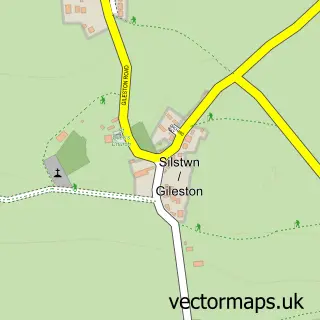
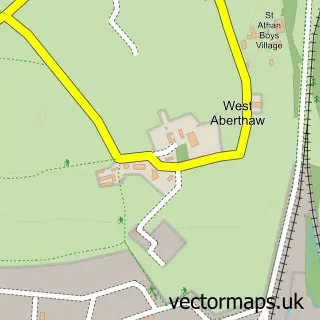
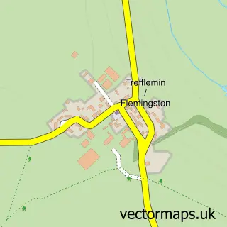
Nearby street map samples around St Athan


More street maps in South Glamorgan
750 metre map area coverage
Boundary, postcode and point of interest information for the 750m x 750m rectangle centred on this sample map.
Boundaries containing map centre
Constituency: Vale of Glamorgan Co Const
District: Bro Morgannwg - the Vale of Glamorgan
Icb: Cardiff and Vale University
Parish: St. Athan Community
Police Force: south wales
Postcode District: CF62
Postcode Sector: CF62 4
Nearby boundaries intersecting sample
No additional intersecting boundaries found.
Postcode coverage
POI category counts
Community Center: 3
Convenience Store: 3
Building Supply Store: 2
Pub: 2
Architectural Designer: 1
Atms: 1
Bakery: 1
Banks: 1
Bar: 1
Barber: 1
Sample points of interest
- HL Design Consultancy
- PayPoint
- The Crafty Kitchen Cakes
- NatWest Mobile Branch
- Kings Cup
- Goodfellas - Gentlemans Barbers ST ATHAN
- Gileston Beach
- Tathan Beautique
- Books by Felicity Mae
- H L Design
- Smashing Glass Window Cleaning
- Universities of Wales Air Squadron
Create a larger editable map of St Athan
This sample shows only a 750 metre area. To create a larger map of St Athan, use our map builder to choose your own coverage area, add titles and download editable SVG, PDF and PNG files.
Create a custom map of St Athan