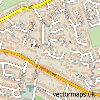
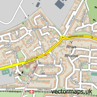
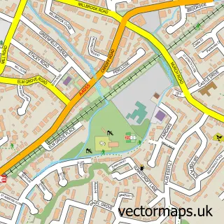
This Barry street map is a detailed vector street map covering a 750m x 750m area. Select a larger area to create and download your own vector street map of Barry.
The 750-metre map sample for Barry covers 433 mapped buildings and approximately 24.5 km of road detail, of which 47 named roads are named. The immediate area includes 1 school, 1 GP surgery, with 3 within 2 miles, 4 pubs and 4 MOT stations, with 16 within 2 miles. The wider area around Barry features 3 tourism points of interest and 17 food and drink venues. To create a larger or custom map of Barry, the map builder lets you define your own coverage area and download editable SVG, PDF and PNG files.
Create a larger editable map of Barry
Choose any area you need and generate a high-quality vector map instantly. Perfect for print, planning, design, business and personal use.

This Barry street map in South Glamorgan is available as downloadable SVG, PDF and PNG map files, or as a printed map for planning, business, display, education, local information and design work. You can also create a larger custom map area using the map selector.
What this Barry map sample shows
Barry lies within Barry Community parish, part of Illtyd ward in the Bro Morgannwg - The Vale Of Glamorgan local authority area. The postcode geography for this area includes the CF postcode area, the CF62 postcode district and the CF62 7 postcode sector. Residents fall under the Cardiff And Vale University Health Board for NHS services.
Local features near Barry
Within 2 milesAmenities and services in and around Barry.
Administrative and postcode information for Barry
Barry lies within Barry Community parish, part of Illtyd ward in the Bro Morgannwg - The Vale Of Glamorgan local authority area. The postcode geography for this area includes the CF postcode area, the CF62 postcode district and the CF62 7 postcode sector. Residents fall under the Cardiff And Vale University Health Board for NHS services.
Nearby street map samples around Barry


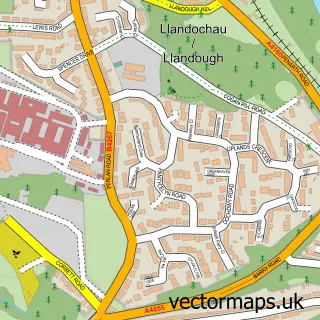
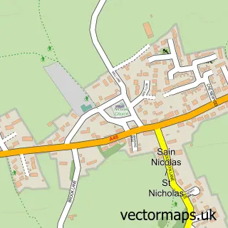
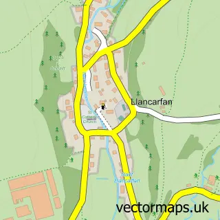
More street maps in South Glamorgan
750 metre map area coverage
Boundary, postcode and point of interest information for the 750m x 750m rectangle centred on this sample map.
Boundaries containing map centre
Constituency: Vale of Glamorgan Co Const
District: Bro Morgannwg - the Vale of Glamorgan
Icb: Cardiff and Vale University
Parish: Barry Community
Police Force: south wales
Postcode District: CF63
Postcode Sector: CF63 4
Nearby boundaries intersecting sample
Postcode District: CF62
Postcode Sector: CF62 8, CF63 1
Postcode coverage
POI category counts
Beauty Salon: 18
Charity Organization: 10
Clothing Store: 10
Bank Credit Union: 7
Barber: 7
Pharmacy: 6
Professional Services: 6
Travel Services: 6
Convenience Store: 5
Doctor: 5
Sample points of interest
- Inroads Cardiff & the Vale Street Drugs Project
- Drop in Centre Development Trust
- The Vale
- Silverline Amusements
- The Three Horseshoes
- St Mary's Barry Dock
- Heathroy Boarding Kennels & Cattery
- Stables Business Centre
- 1st Choice Trade Appliance & Cookware Centre
- Art Central Gallery
- Jungle Jacks
- Barry Town Hall
Create a larger editable map of Barry
This sample shows only a 750 metre area. To create a larger map of Barry, use our map builder to choose your own coverage area, add titles and download editable SVG, PDF and PNG files.
Create a custom map of Barry