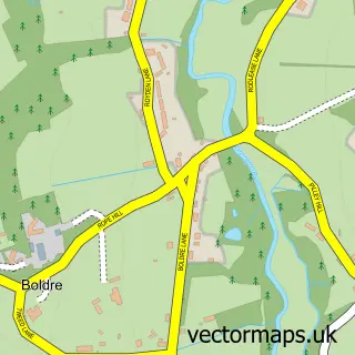
This East Boldre street map is a detailed vector street map covering a 750m x 750m area. Select a larger area to create and download your own vector street map of East Boldre.
The 750-metre map sample for East Boldre covers 141 mapped buildings and approximately 5.9 km of road detail, of which 8 named roads are named. The immediate area includes 2 pubs and 1 MOT station. The wider area around East Boldre features 2 food and drink venues. To create a larger or custom map of East Boldre, the map builder lets you define your own coverage area and download editable SVG, PDF and PNG files.
Create a larger editable map of East Boldre
Choose any area you need and generate a high-quality vector map instantly. Perfect for print, planning, design, business and personal use.

This East Boldre street map in Hampshire is available as downloadable SVG, PDF and PNG map files, or as a printed map for planning, business, display, education, local information and design work. You can also create a larger custom map area using the map selector.
What this East Boldre map sample shows
East Boldre lies within East Boldre Cp parish, part of Brockenhurst And Forest South East ward in the New Forest District local authority area. The postcode geography for this area includes the SO postcode area, the SO42 postcode district and the SO42 7 postcode sector. Residents fall under the Nhs Hampshire And Isle Of Wight Integrated Care Board for NHS services.
Local features near East Boldre
Within 2 milesAmenities and services in and around East Boldre.
Administrative and postcode information for East Boldre
The local authority covering East Boldre is New Forest District, within the county of Hampshire. The settlement lies within Brockenhurst And Forest South East ward and East Boldre Cp civil parish. The SO42 postcode district and SO42 7 postcode sector serve the immediate area. NHS provision in the area is delivered through University Hospital Southampton Nhs Foundation Trust.
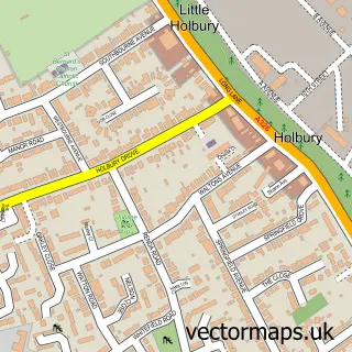
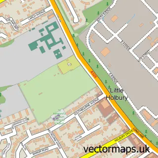
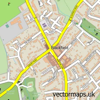
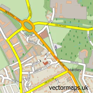
Nearby street map samples around East Boldre


More street maps in Hampshire
750 metre map area coverage
Boundary, postcode and point of interest information for the 750m x 750m rectangle centred on this sample map.
Boundaries containing map centre
Constituency: New Forest East Co Const
County: Hampshire County
District: New Forest District
Icb: NHS Hampshire and Isle of Wight ICB
Parish: East Boldre CP
Police Force: hampshire
Postcode District: SO42
Postcode Sector: SO42 7
Ward: Forest & Solent Ward
Nearby boundaries intersecting sample
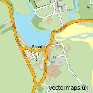
Parish: Beaulieu CP
Postcode coverage
POI category counts
Pub: 2
Anglican Church: 1
Architectural Designer: 1
Car Dealer: 1
Church Cathedral: 1
Convenience Store: 1
Farm: 1
Food Beverage Service Distribution: 1
Organization: 1
Printing Services: 1
Sample points of interest
- St Paul's Church, East Boldre
- Michael Leach Design
- New Forest Estates
- East Boldre Baptist Church
- East Boldre Chapel Stores and Post Office
- The New Forest Fruit Co Ltd
- New Forest Fruit Company
- The Royal British Legion
- New Forest & Hampshire Wartime Association
- The Turfcutters Arms
- Turfcutters Arms
- East Boldre Post Office
Create a larger editable map of East Boldre
This sample shows only a 750 metre area. To create a larger map of East Boldre, use our map builder to choose your own coverage area, add titles and download editable SVG, PDF and PNG files.
Create a custom map of East Boldre