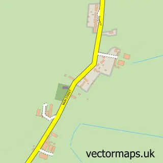
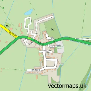
This East Drayton street map is a detailed vector street map covering a 750m x 750m area. Select a larger area to create and download your own vector street map of East Drayton.
The 750-metre map sample for East Drayton covers 119 mapped buildings and approximately 17.3 km of road detail, of which 8 named roads are named. The immediate area includes 3 pubs and 1 MOT station within 2 miles. The wider area around East Drayton features 3 food and drink venues. To create a larger or custom map of East Drayton, the map builder lets you define your own coverage area and download editable SVG, PDF and PNG files.
Create a larger editable map of East Drayton
Choose any area you need and generate a high-quality vector map instantly. Perfect for print, planning, design, business and personal use.

This East Drayton street map in Nottinghamshire is available as downloadable SVG, PDF and PNG map files, or as a printed map for planning, business, display, education, local information and design work. You can also create a larger custom map area using the map selector.
What this East Drayton map sample shows
East Drayton lies within East Drayton Cp parish, part of Tuxford And Trent ward in the Bassetlaw District local authority area. The postcode geography for this area includes the DN postcode area, the DN22 postcode district and the DN22 0 postcode sector. Residents fall under the Nhs Nottingham And Nottinghamshire Integrated Care Board for NHS services.
Local features near East Drayton
Within 2 milesAmenities and services in and around East Drayton.
Administrative and postcode information for East Drayton
East Drayton lies within East Drayton Cp parish, part of Tuxford And Trent ward in the Bassetlaw District local authority area. The postcode geography for this area includes the DN postcode area, the DN22 postcode district and the DN22 0 postcode sector. Residents fall under the Nhs Nottingham And Nottinghamshire Integrated Care Board for NHS services.
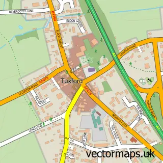
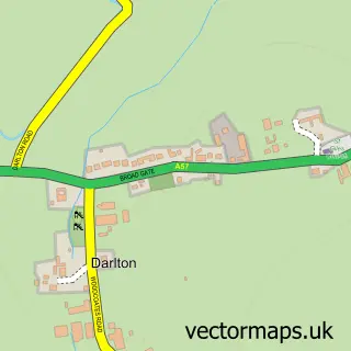
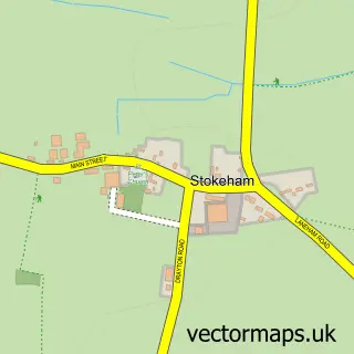
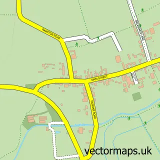
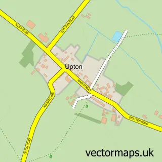
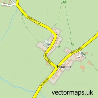
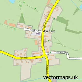
Nearby street map samples around East Drayton

More street maps in Nottinghamshire
750 metre map area coverage
Boundary, postcode and point of interest information for the 750m x 750m rectangle centred on this sample map.
Boundaries containing map centre
Constituency: Newark Co Const
County: Nottinghamshire County
District: Bassetlaw District
Icb: NHS Nottingham and Nottinghamshire ICB
Parish: East Drayton CP
Police Force: nottinghamshire
Postcode District: DN22
Postcode Sector: DN22 0
Ward: Tuxford and Trent Ward
Nearby boundaries intersecting sample
No additional intersecting boundaries found.
Postcode coverage
POI category counts
Pub: 3
Gym: 2
Industrial Equipment: 2
Auto Upholstery: 1
Building Supply Store: 1
Business: 1
Church Cathedral: 1
Clothing Store: 1
Employment Agencies: 1
Financial Service: 1
Sample points of interest
- JTH Upholstery
- Lawn Master
- Target Taxis
- St Peter's Church
- OTA Clothing
- Swift Selection Healthcare
- P R Hewson
- J T H Upholstery
- Outklass Fitness
- Outklass Fitness
- Little Willows Childcare
- SCC Services & Equipment
Create a larger editable map of East Drayton
This sample shows only a 750 metre area. To create a larger map of East Drayton, use our map builder to choose your own coverage area, add titles and download editable SVG, PDF and PNG files.
Create a custom map of East Drayton