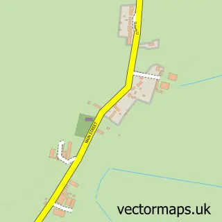
This Dunham-on-Trent street map is a detailed vector street map covering a 750m x 750m area. Select a larger area to create and download your own vector street map of Dunham-on-Trent.
The 750-metre map sample for Dunham-on-Trent covers 107 mapped buildings and approximately 7.2 km of road detail, of which 8 named roads are named. The immediate area includes 2 pubs. The wider area around Dunham-on-Trent features 2 food and drink venues, 1 hotel and 1 campsite within 2 miles. To create a larger or custom map of Dunham-on-Trent, the map builder lets you define your own coverage area and download editable SVG, PDF and PNG files.
Create a larger editable map of Dunham-on-Trent
Choose any area you need and generate a high-quality vector map instantly. Perfect for print, planning, design, business and personal use.

This Dunham-on-Trent street map in Nottinghamshire is available as downloadable SVG, PDF and PNG map files, or as a printed map for planning, business, display, education, local information and design work. You can also create a larger custom map area using the map selector.
What this Dunham-on-Trent map sample shows
Dunham-on-Trent lies within Dunham-On-Trent Cp parish, part of Tuxford And Trent ward in the Bassetlaw District local authority area. The postcode geography for this area includes the NG postcode area, the NG22 postcode district and the NG22 0 postcode sector. Residents fall under the Nhs Nottingham And Nottinghamshire Integrated Care Board for NHS services.
Local features near Dunham-on-Trent
Within 2 milesAmenities and services in and around Dunham-on-Trent.
Administrative and postcode information for Dunham-on-Trent
The local authority covering Dunham-on-Trent is Bassetlaw District, within the county of Nottinghamshire. The settlement lies within Tuxford And Trent ward and Dunham-On-Trent Cp civil parish. The NG22 postcode district and NG22 0 postcode sector serve the immediate area. NHS provision in the area is delivered through Doncaster And Bassetlaw Teaching Hospitals Nhs Foundation Trust.
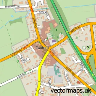
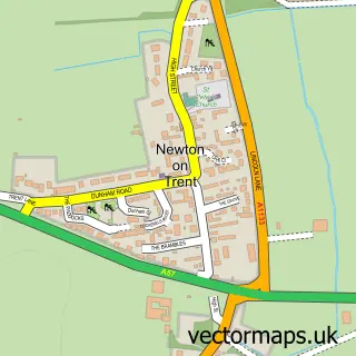
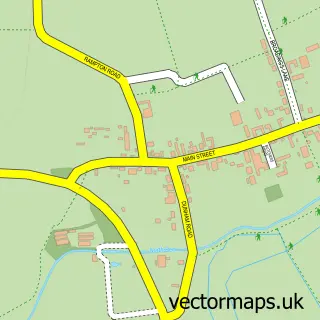
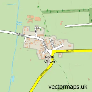
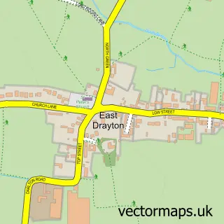
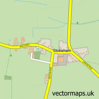
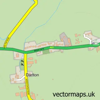
Nearby street map samples around Dunham-on-Trent


More street maps in Nottinghamshire
750 metre map area coverage
Boundary, postcode and point of interest information for the 750m x 750m rectangle centred on this sample map.
Boundaries containing map centre
Constituency: Newark Co Const
County: Nottinghamshire County
District: Bassetlaw District
Icb: NHS Nottingham and Nottinghamshire ICB
Parish: Dunham-on-Trent CP
Police Force: nottinghamshire
Postcode District: NG22
Postcode Sector: NG22 0
Ward: Tuxford and Trent Ward
Nearby boundaries intersecting sample
No additional intersecting boundaries found.
Postcode coverage
POI category counts
Post Office: 2
Pub: 2
Bed And Breakfast: 1
Day Care Preschool: 1
Dog Park: 1
Hotel: 1
Indian Restaurant: 1
Outdoor Gear: 1
Topic Concert Venue: 1
Sample points of interest
- Wilmot House
- Fledgelings Preschool
- Paws & Play Paddock
- Dunham House
- Maharaj
- G4H Rescue. SAR, Police & Tactical store
- Dunham On Trent Post Office
- Post Office-Dunham On Trent
- The White Swan
- White Swan
- Dunham on Trent Village Hall events
Create a larger editable map of Dunham-on-Trent
This sample shows only a 750 metre area. To create a larger map of Dunham-on-Trent, use our map builder to choose your own coverage area, add titles and download editable SVG, PDF and PNG files.
Create a custom map of Dunham-on-Trent