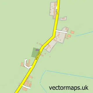
This Newton on Trent street map is a detailed vector street map covering a 750m x 750m area. Select a larger area to create and download your own vector street map of Newton on Trent.
The 750-metre map sample for Newton on Trent covers 170 mapped buildings and approximately 14.8 km of road detail, of which 13 named roads are named. The immediate area includes 1 school. The wider area around Newton on Trent features 1 hotel. To create a larger or custom map of Newton on Trent, the map builder lets you define your own coverage area and download editable SVG, PDF and PNG files.
Create a larger editable map of Newton on Trent
Choose any area you need and generate a high-quality vector map instantly. Perfect for print, planning, design, business and personal use.

This Newton on Trent street map in Lincolnshire is available as downloadable SVG, PDF and PNG map files, or as a printed map for planning, business, display, education, local information and design work. You can also create a larger custom map area using the map selector.
What this Newton on Trent map sample shows
Newton on Trent lies within Newton On Trent Cp parish, part of Torksey ward in the West Lindsey District local authority area. The postcode geography for this area includes the LN postcode area, the LN1 postcode district and the LN1 2 postcode sector. Residents fall under the Nhs Lincolnshire Integrated Care Board for NHS services.
Local features near Newton on Trent
Within 2 milesAmenities and services in and around Newton on Trent.
Administrative and postcode information for Newton on Trent
The local authority covering Newton on Trent is West Lindsey District, within the county of Lincolnshire. The settlement lies within Torksey ward and Newton On Trent Cp civil parish. The LN1 postcode district and LN1 2 postcode sector serve the immediate area. NHS provision in the area is delivered through United Lincolnshire Hospitals Nhs Trust.
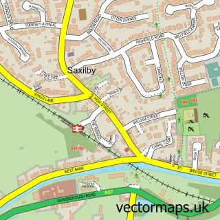
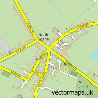
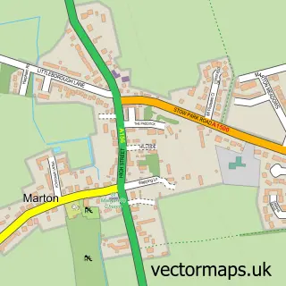
Nearby street map samples around Newton on Trent


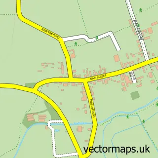
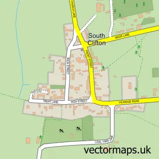
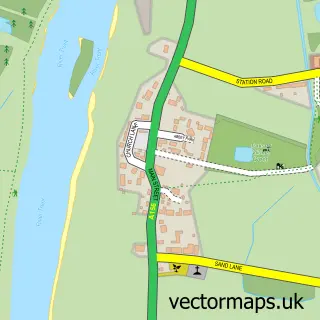
More street maps in Lincolnshire
750 metre map area coverage
Boundary, postcode and point of interest information for the 750m x 750m rectangle centred on this sample map.
Boundaries containing map centre
Constituency: Gainsborough Co Const
County: Lincolnshire County
District: West Lindsey District
Icb: NHS Lincolnshire ICB
Parish: Newton on Trent CP
Police Force: lincolnshire
Postcode District: LN1
Postcode Sector: LN1 2
Ward: Torksey Ward
Nearby boundaries intersecting sample
No additional intersecting boundaries found.
Postcode coverage
POI category counts
Building Supply Store: 2
Shipping Center: 2
Anglican Church: 1
Beauty And Spa: 1
Bridge: 1
Currency Exchange: 1
Elementary School: 1
Farm: 1
Flowers And Gifts Shop: 1
Hospital: 1
Sample points of interest
- St Peter's, Newton on Trent
- Vines Hair And Nails Nettleham
- Dunham Toll Bridge
- Fladder
- Listers Timber & Builders Merchants
- Post Office Travel Money
- Newton on Trent C of E Primary School
- Furrowland Ltd
- Hall Farm Christmas Shop
- Bodyworks Osteopathy
- Sheena Hayward Massage
- P&M Driveways
Create a larger editable map of Newton on Trent
This sample shows only a 750 metre area. To create a larger map of Newton on Trent, use our map builder to choose your own coverage area, add titles and download editable SVG, PDF and PNG files.
Create a custom map of Newton on Trent