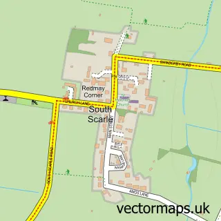
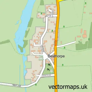
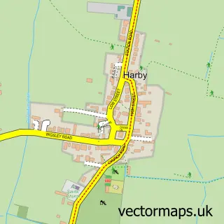
This North Scarle street map is a detailed vector street map covering a 750m x 750m area. Select a larger area to create and download your own vector street map of North Scarle.
The 750-metre map sample for North Scarle covers 270 mapped buildings and approximately 14.7 km of road detail, of which 12 named roads are named. The immediate area includes 1 school and 1 pub. The wider area around North Scarle features 1 tourism point of interest and 1 food and drink venue. To create a larger or custom map of North Scarle, the map builder lets you define your own coverage area and download editable SVG, PDF and PNG files.
Create a larger editable map of North Scarle
Choose any area you need and generate a high-quality vector map instantly. Perfect for print, planning, design, business and personal use.

This North Scarle street map in Lincolnshire is available as downloadable SVG, PDF and PNG map files, or as a printed map for planning, business, display, education, local information and design work. You can also create a larger custom map area using the map selector.
What this North Scarle map sample shows
North Scarle lies within North Scarle Cp parish, part of Eagle, Swinderby And Witham St Hughs ward in the North Kesteven District local authority area. The postcode geography for this area includes the LN postcode area, the LN6 postcode district and the LN6 9 postcode sector. Residents fall under the Nhs Lincolnshire Integrated Care Board for NHS services.
Local features near North Scarle
Within 2 milesAmenities and services in and around North Scarle.
Administrative and postcode information for North Scarle
The local authority covering North Scarle is North Kesteven District, within the county of Lincolnshire. The settlement lies within Eagle, Swinderby And Witham St Hughs ward and North Scarle Cp civil parish. The LN6 postcode district and LN6 9 postcode sector serve the immediate area. NHS provision in the area is delivered through United Lincolnshire Hospitals Nhs Trust.
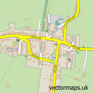
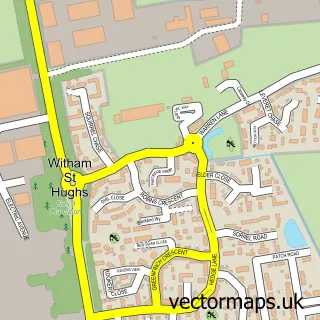
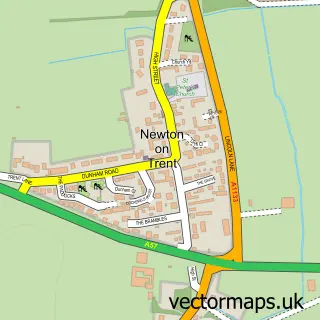
Nearby street map samples around North Scarle

More street maps in Lincolnshire
750 metre map area coverage
Boundary, postcode and point of interest information for the 750m x 750m rectangle centred on this sample map.
Boundaries containing map centre
Constituency: Sleaford and North Hykeham Co Const
County: Lincolnshire County
District: North Kesteven District
Icb: NHS Lincolnshire ICB
Parish: North Scarle CP
Police Force: lincolnshire
Postcode District: LN6
Postcode Sector: LN6 9
Ward: Skellingthorpe & Eagle Ward
Nearby boundaries intersecting sample
No additional intersecting boundaries found.
Postcode coverage
POI category counts
Elementary School: 2
Accountant: 1
Active Life: 1
Anglican Church: 1
Assisted Living Facility: 1
Bakery: 1
Business To Business: 1
Church Cathedral: 1
Community Center: 1
Counseling And Mental Health: 1
Sample points of interest
- J Gamgee Accounting Ltd
- Live Fish Dream ltd
- All Saints
- An Darach House
- The Ticklebelly Lane Bakery
- Trent Freight Services
- North Scarle Parish Church and Cemetery
- North Scarle Village Hall
- The Rehabilitation Network
- CD Electric
- North Scarle Primary School
- North Scarle Primary School
Create a larger editable map of North Scarle
This sample shows only a 750 metre area. To create a larger map of North Scarle, use our map builder to choose your own coverage area, add titles and download editable SVG, PDF and PNG files.
Create a custom map of North Scarle