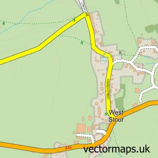
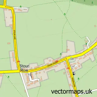
This East Stour street map is a detailed vector street map covering a 750m x 750m area. Select a larger area to create and download your own vector street map of East Stour.
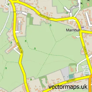
The 750-metre map sample for East Stour covers 149 mapped buildings and approximately 8.6 km of road detail, of which 13 named roads are named. The immediate area includes 1 MOT station, with 3 within 2 miles. To create a larger or custom map of East Stour, the map builder lets you define your own coverage area and download editable SVG, PDF and PNG files.
Create a larger editable map of East Stour
Choose any area you need and generate a high-quality vector map instantly. Perfect for print, planning, design, business and personal use.

This East Stour street map in Dorset is available as downloadable SVG, PDF and PNG map files, or as a printed map for planning, business, display, education, local information and design work. You can also create a larger custom map area using the map selector.
What this East Stour map sample shows
East Stour lies within East Stour Cp parish, part of Gillingham ward in the Dorset local authority area. The postcode geography for this area includes the SP postcode area, the SP8 postcode district and the SP8 5 postcode sector. Residents fall under the Nhs Dorset Integrated Care Board for NHS services.
Local features near East Stour
Within 2 milesAmenities and services in and around East Stour.
Administrative and postcode information for East Stour
The local authority covering East Stour is Dorset, within the county of Dorset. The settlement lies within Gillingham ward and East Stour Cp civil parish. The SP8 postcode district and SP8 5 postcode sector serve the immediate area. NHS provision in the area is delivered through Salisbury Nhs Foundation Trust.
Nearby street map samples around East Stour
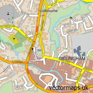

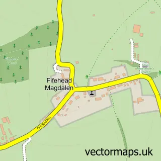
More street maps in Dorset
750 metre map area coverage
Boundary, postcode and point of interest information for the 750m x 750m rectangle centred on this sample map.
Boundaries containing map centre
Constituency: North Dorset Co Const
District: Dorset
Icb: NHS Dorset ICB
Parish: East Stour CP
Police Force: dorset
Postcode District: SP8
Postcode Sector: SP8 5
Ward: Gillingham Ward
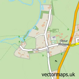
Nearby boundaries intersecting sample
Parish: Stour Provost CP
Ward: Beacon Ward
Postcode coverage
POI category counts
Agricultural Service: 1
Anglican Church: 1
Automotive Repair: 1
Bed And Breakfast: 1
Building Contractor: 1
Charity Organization: 1
Courier And Delivery Services: 1
Gym: 1
Hair Salon: 1
Marketing Consultant: 1
Sample points of interest
- GTR Keen Hay
- East Stour: Christ Church - part of the Stour Vale Benefice
- Paul Coates Automotive
- Church Farm B&B East Stour
- SRJ Wattridge
- East Stour Village Hall
- Evri ParcelShop
- Fitness by Design
- Lexie's Hair
- leads2sales.co.uk
- Simpson Photography
- East Stour Cross Roads, East Stour
Create a larger editable map of East Stour
This sample shows only a 750 metre area. To create a larger map of East Stour, use our map builder to choose your own coverage area, add titles and download editable SVG, PDF and PNG files.
Create a custom map of East Stour