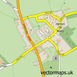
This Todber street map is a detailed vector street map covering a 750m x 750m area. Select a larger area to create and download your own vector street map of Todber.
The 750-metre map sample for Todber covers 102 mapped buildings and approximately 6.3 km of road detail, of which 6 named roads are named. The immediate area includes 3 MOT stations within 2 miles. To create a larger or custom map of Todber, the map builder lets you define your own coverage area and download editable SVG, PDF and PNG files.
Create a larger editable map of Todber
Choose any area you need and generate a high-quality vector map instantly. Perfect for print, planning, design, business and personal use.

This Todber street map in Dorset is available as downloadable SVG, PDF and PNG map files, or as a printed map for planning, business, display, education, local information and design work. You can also create a larger custom map area using the map selector.
What this Todber map sample shows
Todber lies within Todber Cp parish, part of Beacon ward in the Dorset local authority area. The postcode geography for this area includes the DT postcode area, the DT10 postcode district and the DT10 1 postcode sector. Residents fall under the Nhs Dorset Integrated Care Board for NHS services.
Local features near Todber
Within 2 milesAmenities and services in and around Todber.
Administrative and postcode information for Todber
Todber lies within Todber Cp parish, part of Beacon ward in the Dorset local authority area. The postcode geography for this area includes the DT postcode area, the DT10 postcode district and the DT10 1 postcode sector. Residents fall under the Nhs Dorset Integrated Care Board for NHS services.
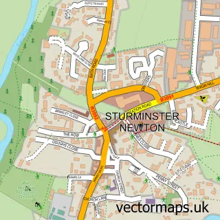
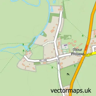
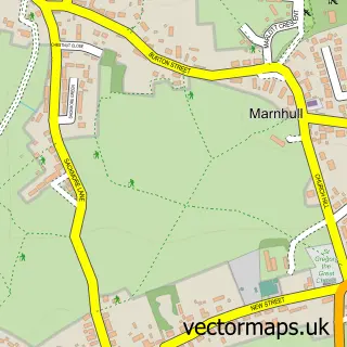
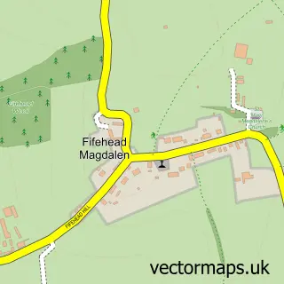
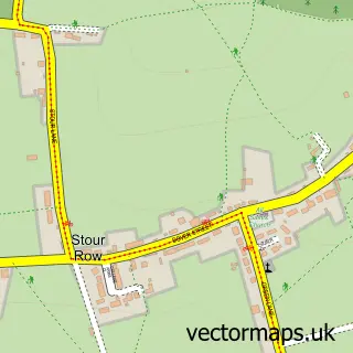
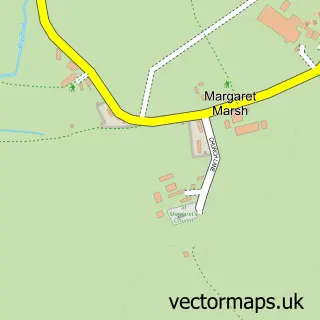
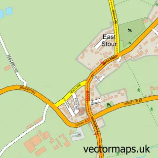
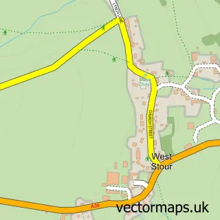
Nearby street map samples around Todber

More street maps in Dorset
750 metre map area coverage
Boundary, postcode and point of interest information for the 750m x 750m rectangle centred on this sample map.
Boundaries containing map centre
Constituency: North Dorset Co Const
District: Dorset
Icb: NHS Dorset ICB
Parish: Todber CP
Police Force: dorset
Postcode District: DT10
Postcode Sector: DT10 1
Ward: Beacon Ward
Nearby boundaries intersecting sample
Parish: Marnhull CP
Ward: Stalbridge & Marnhull Ward
Postcode coverage
POI category counts
Advertising Agency: 1
Anglican Church: 1
Dog Park: 1
Financial Advising: 1
Lawn Service: 1
Telecommunications Company: 1
Used Car Dealer: 1
Sample points of interest
- Relay
- Todber: St Andrew - part of the Stour Vale Benefice
- Dogs Unleashed Activity Run
- Opal Financial Management
- Creative Fusion
- JPL Telecom
- J & S Car Sales
Create a larger editable map of Todber
This sample shows only a 750 metre area. To create a larger map of Todber, use our map builder to choose your own coverage area, add titles and download editable SVG, PDF and PNG files.
Create a custom map of Todber