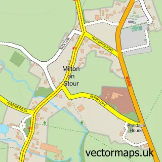
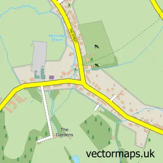
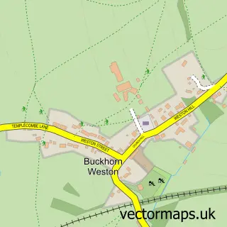
This Gillingham street map is a detailed vector street map covering a 750m x 750m area. Select a larger area to create and download your own vector street map of Gillingham.
The 750-metre map sample for Gillingham covers 414 mapped buildings and approximately 15.5 km of road detail, of which 32 named roads are named. The immediate area includes 1 school, 1 GP surgery within 2 miles, 2 pubs and 1 MOT station, with 6 within 2 miles. The wider area around Gillingham features 1 tourism point of interest, 11 food and drink venues and 1 hotel. To create a larger or custom map of Gillingham, the map builder lets you define your own coverage area and download editable SVG, PDF and PNG files.
Create a larger editable map of Gillingham
Choose any area you need and generate a high-quality vector map instantly. Perfect for print, planning, design, business and personal use.

This Gillingham street map in Dorset is available as downloadable SVG, PDF and PNG map files, or as a printed map for planning, business, display, education, local information and design work. You can also create a larger custom map area using the map selector.
What this Gillingham map sample shows
Gillingham lies within Gillingham Cp parish, part of Gillingham ward in the Dorset local authority area. The postcode geography for this area includes the SP postcode area, the SP8 postcode district and the SP8 4 postcode sector. Residents fall under the Nhs Dorset Integrated Care Board for NHS services.
Local features near Gillingham
Within 2 milesAmenities and services in and around Gillingham.
Administrative and postcode information for Gillingham
Gillingham lies within Gillingham Cp parish, part of Gillingham ward in the Dorset local authority area. The postcode geography for this area includes the SP postcode area, the SP8 postcode district and the SP8 4 postcode sector. Residents fall under the Nhs Dorset Integrated Care Board for NHS services.
Nearby street map samples around Gillingham

More street maps in Dorset
750 metre map area coverage
Boundary, postcode and point of interest information for the 750m x 750m rectangle centred on this sample map.
Boundaries containing map centre
Constituency: North Dorset Co Const
District: Dorset
Icb: NHS Dorset ICB
Parish: Gillingham CP
Police Force: dorset
Postcode District: SP8
Postcode Sector: SP8 4
Ward: Gillingham Ward
Nearby boundaries intersecting sample
No additional intersecting boundaries found.
Postcode coverage
POI category counts
Charity Organization: 5
Coffee Shop: 5
Real Estate Agent: 5
Beauty Salon: 4
Financial Service: 4
Furniture Store: 4
Hair Salon: 4
Package Locker: 4
Veterinarian: 4
Atms: 3
Sample points of interest
- Smith Towers
- Andrews and Palmer
- Freestone & Co.
- C C Imagine
- The Slade Centre
- The Wonderbook
- Cashpoint® High Street
- ESSO Service Station Chantry Fields (Rontec - CZC) (SWAP), Le Newborg Way
- Waitrose Gillingham (BFF)
- Clarke's Auctioneers
- Andy Sumner Electrical & Data
- Autotechnics
Create a larger editable map of Gillingham
This sample shows only a 750 metre area. To create a larger map of Gillingham, use our map builder to choose your own coverage area, add titles and download editable SVG, PDF and PNG files.
Create a custom map of Gillingham