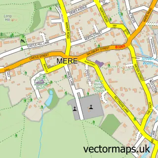
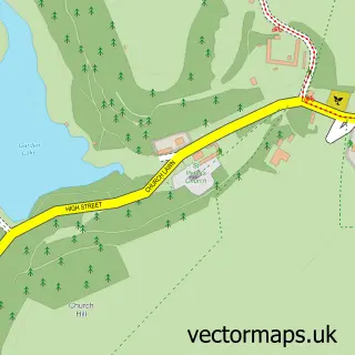
This Bourton street map is a detailed vector street map covering a 750m x 750m area. Select a larger area to create and download your own vector street map of Bourton.
The 750-metre map sample for Bourton covers 189 mapped buildings and approximately 12.8 km of road detail, of which 13 named roads are named. The immediate area includes 1 GP surgery within 2 miles and 1 MOT station within 2 miles. To create a larger or custom map of Bourton, the map builder lets you define your own coverage area and download editable SVG, PDF and PNG files.
Create a larger editable map of Bourton
Choose any area you need and generate a high-quality vector map instantly. Perfect for print, planning, design, business and personal use.

This Bourton street map in Dorset is available as downloadable SVG, PDF and PNG map files, or as a printed map for planning, business, display, education, local information and design work. You can also create a larger custom map area using the map selector.
What this Bourton map sample shows
Bourton lies within Bourton Cp parish, part of Gillingham ward in the Dorset local authority area. The postcode geography for this area includes the SP postcode area, the SP8 postcode district and the SP8 5 postcode sector. Residents fall under the Nhs Dorset Integrated Care Board for NHS services.
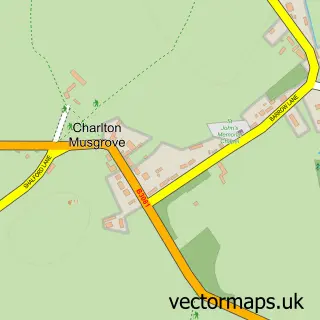
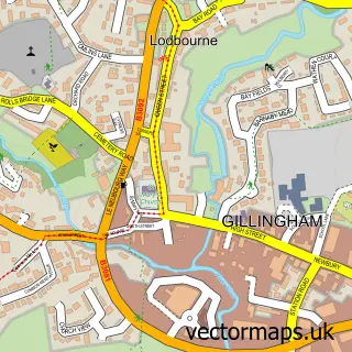
Local features near Bourton
Within 2 milesAmenities and services in and around Bourton.
Administrative and postcode information for Bourton
The local authority covering Bourton is Dorset, within the county of Dorset. The settlement lies within Gillingham ward and Bourton Cp civil parish. The SP8 postcode district and SP8 5 postcode sector serve the immediate area. NHS provision in the area is delivered through Salisbury Nhs Foundation Trust.
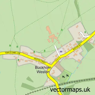
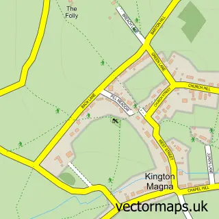
Nearby street map samples around Bourton

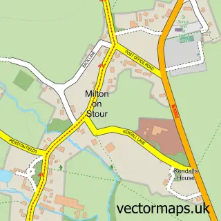
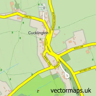
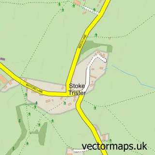
More street maps in Dorset
750 metre map area coverage
Boundary, postcode and point of interest information for the 750m x 750m rectangle centred on this sample map.
Boundaries containing map centre
Constituency: North Dorset Co Const
District: Dorset
Icb: NHS Dorset ICB
Parish: Bourton CP
Police Force: dorset
Postcode District: SP8
Postcode Sector: SP8 5
Ward: Gillingham Ward
Nearby boundaries intersecting sample
Constituency: Glastonbury and Somerton Co Const
District: Somerset
Icb: NHS Somerset ICB
Parish: Pen Selwood CP, Silton CP
Police Force: avon and somerset
Postcode District: BA9
Postcode Sector: BA9 8
Postcode coverage
POI category counts
Convenience Store: 3
Post Office: 2
Aquarium: 1
Auto Customization: 1
Building Supply Store: 1
Charity Organization: 1
Chemical Plant: 1
Elementary School: 1
Event Planning: 1
Furniture Rental Service: 1
Sample points of interest
- Aqualogy
- Bright Light Customs
- Paul Burton Heating & Plumbing Service
- Windrose Rural Media Trust
- Forge Garages
- Costcutter
- Londis LONDIS - HERTFORD ROAD
- SPAR Forge Grage, Bourton
- Hollyfields School
- Bourton Village Hall
- Jarapa Ltd.
- Gulf
Create a larger editable map of Bourton
This sample shows only a 750 metre area. To create a larger map of Bourton, use our map builder to choose your own coverage area, add titles and download editable SVG, PDF and PNG files.
Create a custom map of Bourton