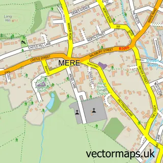
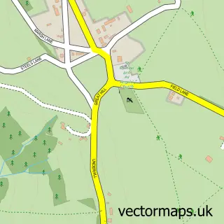
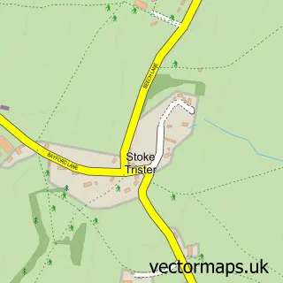
This Zeals street map is a detailed vector street map covering a 750m x 750m area. Select a larger area to create and download your own vector street map of Zeals.
The 750-metre map sample for Zeals covers 202 mapped buildings and approximately 13.5 km of road detail, of which 9 named roads are named. The immediate area includes 1 school, 1 GP surgery within 2 miles, 2 pubs and 1 MOT station, with 2 within 2 miles. The wider area around Zeals features 2 food and drink venues. To create a larger or custom map of Zeals, the map builder lets you define your own coverage area and download editable SVG, PDF and PNG files.
Create a larger editable map of Zeals
Choose any area you need and generate a high-quality vector map instantly. Perfect for print, planning, design, business and personal use.

This Zeals street map in Wiltshire is available as downloadable SVG, PDF and PNG map files, or as a printed map for planning, business, display, education, local information and design work. You can also create a larger custom map area using the map selector.
What this Zeals map sample shows
Zeals lies within Zeals Cp parish, part of Mere ward in the Wiltshire local authority area. The postcode geography for this area includes the BA postcode area, the BA12 postcode district and the BA12 6 postcode sector. Residents fall under the Nhs Bath And North East Somerset, Swindon And Wiltshire Integrated Care Board for NHS services.
Local features near Zeals
Within 2 milesAmenities and services in and around Zeals.
Administrative and postcode information for Zeals
The local authority covering Zeals is Wiltshire, within the county of Wiltshire. The settlement lies within Mere ward and Zeals Cp civil parish. The BA12 postcode district and BA12 6 postcode sector serve the immediate area. NHS provision in the area is delivered through Salisbury Nhs Foundation Trust.
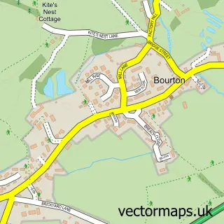
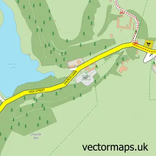
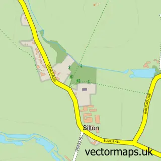
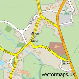
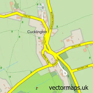
Nearby street map samples around Zeals

More street maps in Wiltshire
750 metre map area coverage
Boundary, postcode and point of interest information for the 750m x 750m rectangle centred on this sample map.
Boundaries containing map centre
Constituency: South West Wiltshire Co Const
District: Wiltshire
Icb: NHS Bath and North East Somerset Swindon and Wiltshire ICB
Parish: Zeals CP
Police Force: wiltshire
Postcode District: BA12
Postcode Sector: BA12 6
Nearby boundaries intersecting sample
No additional intersecting boundaries found.
Postcode coverage
POI category counts
Car Wash: 2
Pub: 2
Anglican Church: 1
Automotive Repair: 1
Automotive Services And Repair: 1
Car Dealer: 1
Caterer: 1
Church Cathedral: 1
Elementary School: 1
Fabric Store: 1
Sample points of interest
- Zeals: Saint Martin
- Unipart Car Care Centre
- I T Ambulance
- Zeals Motor Company
- Diamond Hand Car Wash
- Zeals hand car wash
- China Crisis
- St Georges Church-Bourton
- Whitesheet Church of England Primary School
- St Martins Designs
- Aromaglow
- Zeals Post Office
Create a larger editable map of Zeals
This sample shows only a 750 metre area. To create a larger map of Zeals, use our map builder to choose your own coverage area, add titles and download editable SVG, PDF and PNG files.
Create a custom map of Zeals