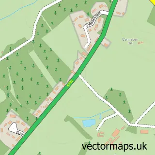
This Eddleston street map is a detailed vector street map covering a 750m x 750m area. Select a larger area to create and download your own vector street map of Eddleston.
The 750-metre map sample for Eddleston covers 109 mapped buildings and approximately 11.4 km of road detail, of which 10 named roads are named. The immediate area includes 1 pub. The wider area around Eddleston features 1 tourism point of interest, 1 food and drink venue and 1 hotel. To create a larger or custom map of Eddleston, the map builder lets you define your own coverage area and download editable SVG, PDF and PNG files.
Create a larger editable map of Eddleston
Choose any area you need and generate a high-quality vector map instantly. Perfect for print, planning, design, business and personal use.

This Eddleston street map in Tweeddale is available as downloadable SVG, PDF and PNG map files, or as a printed map for planning, business, display, education, local information and design work. You can also create a larger custom map area using the map selector.
What this Eddleston map sample shows
Eddleston lies within Scottish Borders parish, part of Tweeddale West ward in the Scottish Borders local authority area. The postcode geography for this area includes the EH postcode area, the EH45 postcode district and the EH45 8 postcode sector. Residents fall under the Borders for NHS services.
Local features near Eddleston
Within 2 milesAmenities and services in and around Eddleston.
Administrative and postcode information for Eddleston
Eddleston lies within Scottish Borders parish, part of Tweeddale West ward in the Scottish Borders local authority area. The postcode geography for this area includes the EH postcode area, the EH45 postcode district and the EH45 8 postcode sector. Residents fall under the Borders for NHS services.
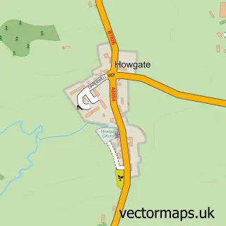
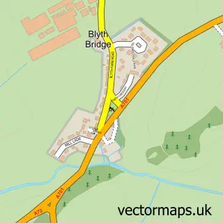
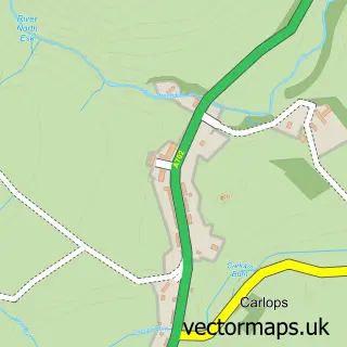
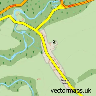
Nearby street map samples around Eddleston

More street maps in Tweeddale
750 metre map area coverage
Boundary, postcode and point of interest information for the 750m x 750m rectangle centred on this sample map.
Boundaries containing map centre
Constituency: Dumfriesshire, Clydesdale and Tweeddale Co Const
District: Scottish Borders
Icb: Borders
Postcode District: EH45
Postcode Sector: EH45 8
Ward: Tweeddale West Ward
Nearby boundaries intersecting sample
No additional intersecting boundaries found.
Postcode coverage
POI category counts
Catholic Church: 1
Community Center: 1
Elementary School: 1
Hotel: 1
Landmark And Historical Building: 1
Pet Sitting: 1
Pizza Restaurant: 1
Professional Services: 1
Pub: 1
Sample points of interest
- Eddleston Parish Church
- Eddleston Village
- Eddleston Primary School
- Horseshoe Inn
- Eddleston
- Bellevue Pet Sitting
- Wood Oven Wonders
- Vanilla Moon Photography
- The Horseshoe Inn
Create a larger editable map of Eddleston
This sample shows only a 750 metre area. To create a larger map of Eddleston, use our map builder to choose your own coverage area, add titles and download editable SVG, PDF and PNG files.
Create a custom map of Eddleston