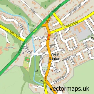
This Peebles street map is a detailed vector street map covering a 750m x 750m area. Select a larger area to create and download your own vector street map of Peebles.
The 750-metre map sample for Peebles covers 302 mapped buildings and approximately 21.6 km of road detail, of which 41 named roads are named. The immediate area includes 2 GP surgeries within 2 miles, 4 pubs and 1 MOT station, with 3 within 2 miles. The wider area around Peebles features 10 tourism points of interest, 14 food and drink venues and 6 hotels. To create a larger or custom map of Peebles, the map builder lets you define your own coverage area and download editable SVG, PDF and PNG files.
Create a larger editable map of Peebles
Choose any area you need and generate a high-quality vector map instantly. Perfect for print, planning, design, business and personal use.

This Peebles street map in Tweeddale is available as downloadable SVG, PDF and PNG map files, or as a printed map for planning, business, display, education, local information and design work. You can also create a larger custom map area using the map selector.
What this Peebles map sample shows
Peebles lies within Scottish Borders parish, part of Tweeddale West ward in the Scottish Borders local authority area. The postcode geography for this area includes the EH postcode area, the EH45 postcode district and the EH45 8 postcode sector. Residents fall under the Borders for NHS services.
Local features near Peebles
Within 2 milesAmenities and services in and around Peebles.
Administrative and postcode information for Peebles
Peebles lies within Scottish Borders parish, part of Tweeddale West ward in the Scottish Borders local authority area. The postcode geography for this area includes the EH postcode area, the EH45 postcode district and the EH45 8 postcode sector. Residents fall under the Borders for NHS services.
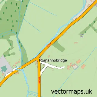
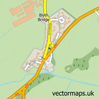
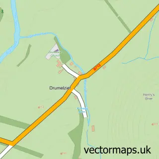
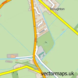
Nearby street map samples around Peebles

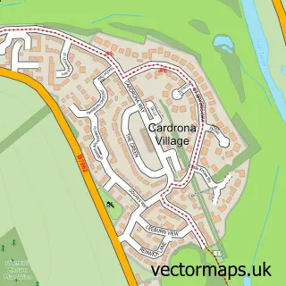
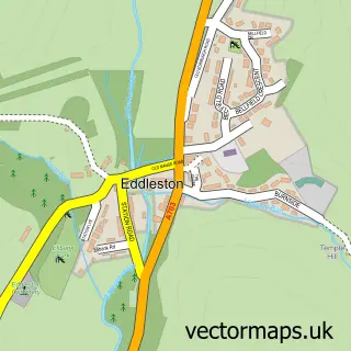
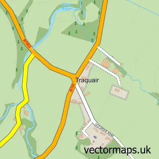
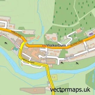
More street maps in Tweeddale
750 metre map area coverage
Boundary, postcode and point of interest information for the 750m x 750m rectangle centred on this sample map.
Boundaries containing map centre
Constituency: Dumfriesshire, Clydesdale and Tweeddale Co Const
District: Scottish Borders
Icb: Borders
Postcode District: EH45
Postcode Sector: EH45 8
Ward: Tweeddale West Ward
Nearby boundaries intersecting sample
Postcode Sector: EH45 9
Ward: Tweeddale East Ward
Postcode coverage
POI category counts
Flowers And Gifts Shop: 7
Hair Salon: 7
Art Gallery: 6
Bakery: 6
Church Cathedral: 6
Clothing Store: 6
Hotel: 6
Real Estate Agent: 6
Shoe Store: 6
Charity Organization: 5
Sample points of interest
- Melanie R Massage
- Tour O The Borders
- Sense Scotland
- CB3 Design Architects
- D and H Farmer Chartered Architects
- Asado Gaucho
- Breeze
- Gustaf's Studio and Gallery
- Moy Mackay Gallery
- The Three Fishes Framing and Gallery
- Tweed Art
- Zenwalls Gallery
Create a larger editable map of Peebles
This sample shows only a 750 metre area. To create a larger map of Peebles, use our map builder to choose your own coverage area, add titles and download editable SVG, PDF and PNG files.
Create a custom map of Peebles