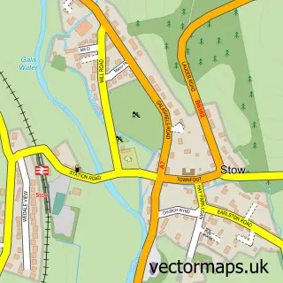
This Walkerburn street map is a detailed vector street map covering a 750m x 750m area. Select a larger area to create and download your own vector street map of Walkerburn.
The 750-metre map sample for Walkerburn covers 131 mapped buildings and approximately 7.3 km of road detail, of which 8 named roads are named. The immediate area includes 2 MOT stations within 2 miles. The wider area around Walkerburn features 1 food and drink venue. To create a larger or custom map of Walkerburn, the map builder lets you define your own coverage area and download editable SVG, PDF and PNG files.
Create a larger editable map of Walkerburn
Choose any area you need and generate a high-quality vector map instantly. Perfect for print, planning, design, business and personal use.

This Walkerburn street map in Tweeddale is available as downloadable SVG, PDF and PNG map files, or as a printed map for planning, business, display, education, local information and design work. You can also create a larger custom map area using the map selector.
What this Walkerburn map sample shows
Walkerburn lies within Scottish Borders parish, part of Tweeddale East ward in the Scottish Borders local authority area. The postcode geography for this area includes the EH postcode area, the EH43 postcode district and the EH43 6 postcode sector. Residents fall under the Borders for NHS services.
Local features near Walkerburn
Within 2 milesAmenities and services in and around Walkerburn.
Administrative and postcode information for Walkerburn
Walkerburn lies within Scottish Borders parish, part of Tweeddale East ward in the Scottish Borders local authority area. The postcode geography for this area includes the EH postcode area, the EH43 postcode district and the EH43 6 postcode sector. Residents fall under the Borders for NHS services.
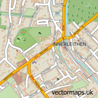
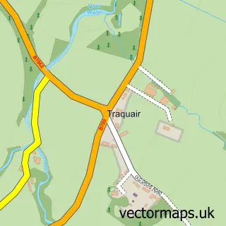
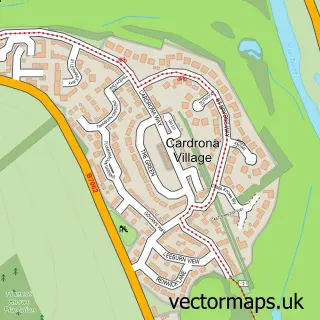
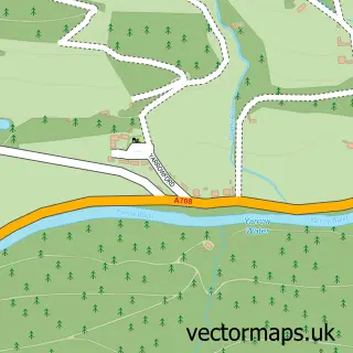
Nearby street map samples around Walkerburn

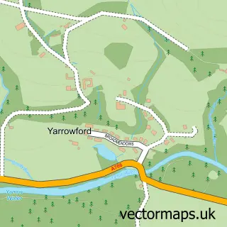
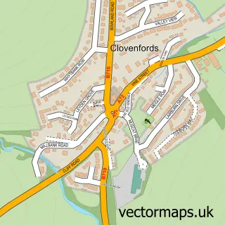
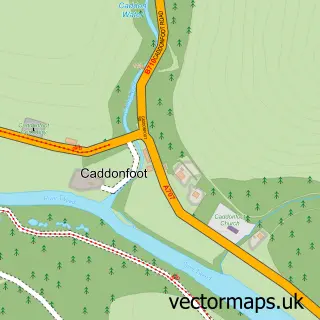
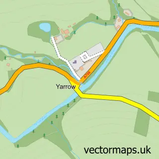
More street maps in Tweeddale
750 metre map area coverage
Boundary, postcode and point of interest information for the 750m x 750m rectangle centred on this sample map.
Boundaries containing map centre
Constituency: Dumfriesshire, Clydesdale and Tweeddale Co Const
District: Scottish Borders
Icb: Borders
Postcode District: EH43
Postcode Sector: EH43 6
Ward: Tweeddale East Ward
Nearby boundaries intersecting sample
No additional intersecting boundaries found.
Postcode coverage
POI category counts
Office Cleaning: 2
Roofing: 2
Shipping Center: 2
Appliance Repair Service: 1
Automotive: 1
Automotive Repair: 1
Building Supply Store: 1
Car Wash: 1
Charity Organization: 1
Chemical Plant: 1
Sample points of interest
- MD Mowers
- Tweedspeed Motorcycles
- Walkerburn Garage
- Caberston Construction
- Suds Auto Valeting & Window Tinting
- Home Basics Walkerburn
- Rathburn Chemicals
- Kearse and Boys
- Caberston Farm Coffee Shop
- D C B Welding Design
- Children of the Mountain
- Walkerburn Primary School
Create a larger editable map of Walkerburn
This sample shows only a 750 metre area. To create a larger map of Walkerburn, use our map builder to choose your own coverage area, add titles and download editable SVG, PDF and PNG files.
Create a custom map of Walkerburn