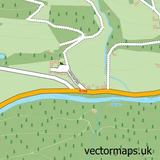
This Innerleithen street map is a detailed vector street map covering a 750m x 750m area. Select a larger area to create and download your own vector street map of Innerleithen.
The 750-metre map sample for Innerleithen covers 508 mapped buildings and approximately 17.6 km of road detail, of which 36 named roads are named. The immediate area includes 1 GP surgery and 2 MOT stations. The wider area around Innerleithen features 3 tourism points of interest, 6 food and drink venues and 10 hotels. To create a larger or custom map of Innerleithen, the map builder lets you define your own coverage area and download editable SVG, PDF and PNG files.
Create a larger editable map of Innerleithen
Choose any area you need and generate a high-quality vector map instantly. Perfect for print, planning, design, business and personal use.

This Innerleithen street map in Tweeddale is available as downloadable SVG, PDF and PNG map files, or as a printed map for planning, business, display, education, local information and design work. You can also create a larger custom map area using the map selector.
What this Innerleithen map sample shows
Innerleithen lies within Scottish Borders parish, part of Tweeddale East ward in the Scottish Borders local authority area. The postcode geography for this area includes the EH postcode area, the EH44 postcode district and the EH44 6 postcode sector. Residents fall under the Borders for NHS services.
Local features near Innerleithen
Within 2 milesAmenities and services in and around Innerleithen.
Administrative and postcode information for Innerleithen
The local authority covering Innerleithen is Scottish Borders, within the county of Tweeddale. The settlement lies within Tweeddale East ward and Scottish Borders civil parish. The EH44 postcode district and EH44 6 postcode sector serve the immediate area. NHS provision in the area is delivered through Borders.
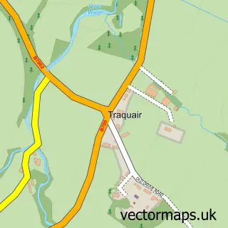
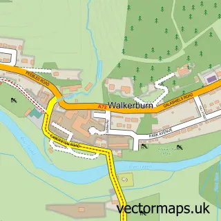
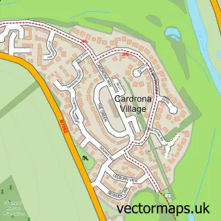
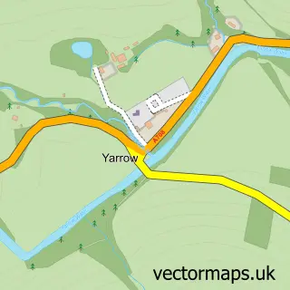
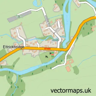
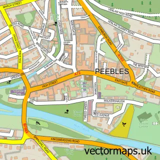
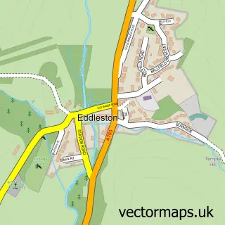
Nearby street map samples around Innerleithen

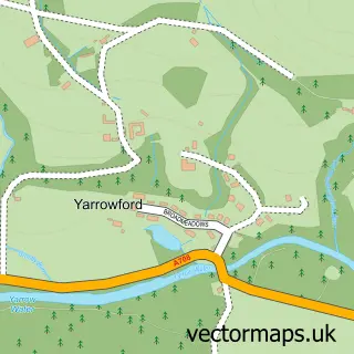
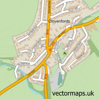
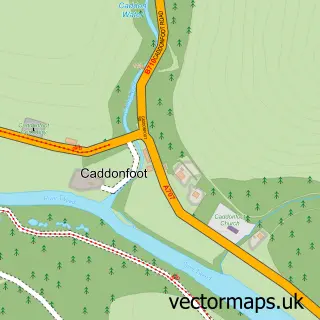
More street maps in Tweeddale
750 metre map area coverage
Boundary, postcode and point of interest information for the 750m x 750m rectangle centred on this sample map.
Boundaries containing map centre
Constituency: Dumfriesshire, Clydesdale and Tweeddale Co Const
District: Scottish Borders
Icb: Borders
Postcode District: EH44
Postcode Sector: EH44 6
Ward: Tweeddale East Ward
Nearby boundaries intersecting sample
No additional intersecting boundaries found.
Postcode coverage
POI category counts
Hotel: 10
Automotive Repair: 4
Bicycle Shop: 4
Driving School: 4
Art Gallery: 3
Cafe: 3
Flowers And Gifts Shop: 3
Professional Services: 3
Social Service Organizations: 3
Antique Store: 2
Sample points of interest
- Bcg Webdesign
- Vale of Leithen Football Club
- Keepsakes
- Last Century Antiques
- Patience & Highmore Ltd.
- David Jane Architects
- Buttercup Studio
- Chapel Street Gallery
- The Framing Gallery
- St. Ronan's Wells
- Lightmotif Photography
- The Cooperative Food Innerleithen (ERF)
Create a larger editable map of Innerleithen
This sample shows only a 750 metre area. To create a larger map of Innerleithen, use our map builder to choose your own coverage area, add titles and download editable SVG, PDF and PNG files.
Create a custom map of Innerleithen