Vector Maps logo
Home Why it works Popular maps Districts Samples Customizer Create Your Map
VectorMaps.uk
Home Popular maps Districts Samples Customizer Create Your Map Privacy Disclaimer
Home / UK Maps / Tweeddale / West Linton Map

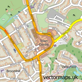
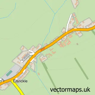
This West Linton street map is a detailed vector street map covering a 750m x 750m area. Select a larger area to create and download your own vector street map of West Linton.

West Linton is a village in Tweeddale, in the South Scotland of Scotland. Historically, the area formed part of Peebleshire. The settlement falls within the Dumfriesshire, Clydesdale And Tweeddale parliamentary constituency. It is served by the EH46 postc

The 750-metre map sample for West Linton covers 345 mapped buildings and approximately 15.0 km of road detail, of which 29 named roads are named. The immediate area includes 1 GP surgery, 2 pubs and 1 MOT station, with 2 within 2 miles. The wider area around West Linton features 2 tourism points of interest, 3 food and drink venues and 2 hotels. To create a larger or custom map of West Linton, the map builder lets you define your own coverage area and download editable SVG, PDF and PNG files.

345Buildings
15.02 kmRoads
29Named roads
0Residents within 2 miles
Create your own

Create a larger editable map of West Linton

Choose any area you need and generate a high-quality vector map instantly. Perfect for print, planning, design, business and personal use.

Choose any location
Editable SVG files
Any size up to A0
PDF, PNG & more
Instant download
High quality guaranteed
Create My Custom Map
Secure, private & no credit card required
West Linton Vector Street Map
750m Sample
West Linton vector street map sample showing roads, buildings and local features in a 750 metre preview area
Buy West Linton Map Print from £12.95 Buy West Linton Digital Map from £6

This West Linton street map in Tweeddale is available as downloadable SVG, PDF and PNG map files, or as a printed map for planning, business, display, education, local information and design work. You can also create a larger custom map area using the map selector.

What this West Linton map sample shows

West Linton lies within Scottish Borders parish, part of Tweeddale West ward in the Scottish Borders local authority area. The postcode geography for this area includes the EH postcode area, the EH46 postcode district and the EH46 7 postcode sector. Residents fall under the Borders for NHS services.

Local features near West Linton

Within 2 miles

Amenities and services in and around West Linton.

1 GP surgeries 1 within 2 miles
1 MOT stations 2 within 2 miles
2 Tourism & leisure
3 Food & drink
2 Pubs
2 Hotels
2 Healthcare POIs
1 Vehicle services

Counts are approximate and based on publicly available data.

Administrative and postcode information for West Linton

The local authority covering West Linton is Scottish Borders, within the county of Tweeddale. The settlement lies within Tweeddale West ward and Scottish Borders civil parish. The EH46 postcode district and EH46 7 postcode sector serve the immediate area. NHS provision in the area is delivered through Borders.

Parish SCOTTISH BORDERS
Ward Tweeddale West
District / local authority Scottish Borders
County Tweeddale
Historic county Peebleshire
Postcode district EH46
Postcode sector EH46 7
Parliamentary constituency Dumfriesshire, Clydesdale and Tweeddale
Region South Scotland
Country Scotland

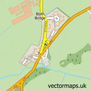
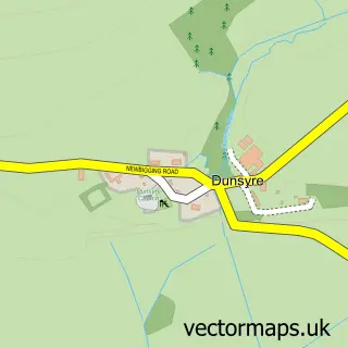
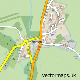
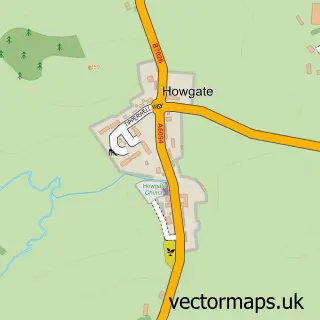
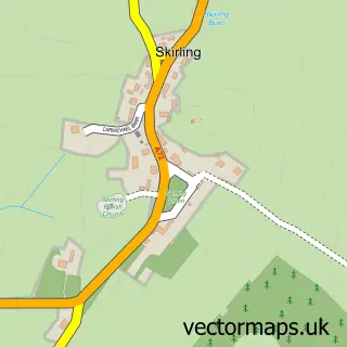
Nearby street map samples around West Linton

Street map sample of Penicuik, Midlothian Penicuik Town - Midlothian - 7.4 miles Street map sample of Edinburgh, City of Edinburgh Edinburgh City - City of Edinburgh - 15.3 miles Street map sample of Romanno Bridge, Tweeddale Romanno Bridge Village - Tweeddale - 2.4 miles Street map sample of Carlops, Tweeddale Carlops Village - Tweeddale - 2.7 miles Street map sample of Dolphinton, Lanarkshire Dolphinton Village - Lanarkshire - 4.1 miles Street map sample of Blyth Bridge, Tweeddale Blyth Bridge Village - Tweeddale - 4.1 miles Street map sample of Dunsyre, Lanarkshire Dunsyre Village - Lanarkshire - 5.3 miles Street map sample of Eddleston, Tweeddale Eddleston Village - Tweeddale - 6.4 miles Street map sample of Howgate, Midlothian Howgate Village - Midlothian - 7.2 miles Street map sample of Elsrickle, Lanarkshire Elsrickle Village - Lanarkshire - 7.5 miles

More street maps in Tweeddale

Street map sample of Romanno Bridge, Tweeddale Romanno Bridge Village - 2.4 miles Street map sample of Carlops, Tweeddale Carlops Village - 2.7 miles Street map sample of Blyth Bridge, Tweeddale Blyth Bridge Village - 4.1 miles Street map sample of Eddleston, Tweeddale Eddleston Village - 6.4 miles Street map sample of Skirling, Tweeddale Skirling Village - 9.1 miles

750 metre map area coverage

Boundary, postcode and point of interest information for the 750m x 750m rectangle centred on this sample map.

Boundaries containing map centre

Constituency: Dumfriesshire, Clydesdale and Tweeddale Co Const

District: Scottish Borders

Icb: Borders

Postcode District: EH46

Postcode Sector: EH46 7

Ward: Tweeddale West Ward

Nearby boundaries intersecting sample

No additional intersecting boundaries found.

Postcode coverage

EH46 EH46 7

POI category counts

Community Services Non Profits: 3

Church Cathedral: 2

Hair Salon: 2

Hotel: 2

Pharmacy: 2

Post Office: 2

Preschool: 2

Pub: 2

Antique Store: 1

Appliance Store: 1

Sample points of interest

  • British Red Cross Antique Store
  • The Fire Side Appliance Store
  • Manor Garage Automotive Repair
  • Bank of Scotland Bank Credit Union
  • House Of Hair Barber
  • Linton Lodge Bed And Breakfast
  • Linton Books Bookstore
  • Flaming Brilliant Chimney Services Building Supply Store
  • Shrews Business Consulting
  • Whiskybosh Business Management Services
  • Olde Toll Tea House Cafe
  • St Andrew's Parish Church Catholic Church

Create a larger editable map of West Linton

This sample shows only a 750 metre area. To create a larger map of West Linton, use our map builder to choose your own coverage area, add titles and download editable SVG, PDF and PNG files.

Create a custom map of West Linton

Phone 01751 473136 | Copyright Vectormaps.uk 2026

Samples Customizer Privacy Disclaimer
West Linton Vector Street Map
West Linton enlarged street map sample showing a 750 metre preview area