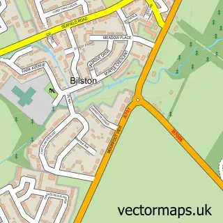
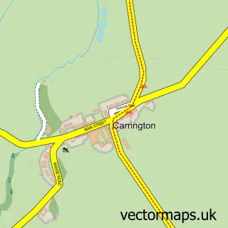
This Penicuik street map is a detailed vector street map covering a 750m x 750m area. Select a larger area to create and download your own vector street map of Penicuik.
The 750-metre map sample for Penicuik covers 452 mapped buildings and approximately 19.7 km of road detail, of which 41 named roads are named. The immediate area includes 1 GP surgery, with 2 within 2 miles, 1 pub and 3 MOT stations within 2 miles. The wider area around Penicuik features 2 tourism points of interest, 14 food and drink venues and 2 hotels. To create a larger or custom map of Penicuik, the map builder lets you define your own coverage area and download editable SVG, PDF and PNG files.
Create a larger editable map of Penicuik
Choose any area you need and generate a high-quality vector map instantly. Perfect for print, planning, design, business and personal use.

This Penicuik street map in Midlothian is available as downloadable SVG, PDF and PNG map files, or as a printed map for planning, business, display, education, local information and design work. You can also create a larger custom map area using the map selector.
What this Penicuik map sample shows
Penicuik lies within Midlothian parish, part of Penicuik ward in the Midlothian local authority area. The postcode geography for this area includes the EH postcode area, the EH26 postcode district and the EH26 8 postcode sector. Residents fall under the Lothian for NHS services.
Local features near Penicuik
Within 2 milesAmenities and services in and around Penicuik.
Administrative and postcode information for Penicuik
Penicuik lies within Midlothian parish, part of Penicuik ward in the Midlothian local authority area. The postcode geography for this area includes the EH postcode area, the EH26 postcode district and the EH26 8 postcode sector. Residents fall under the Lothian for NHS services.
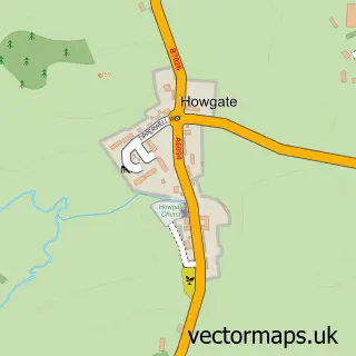
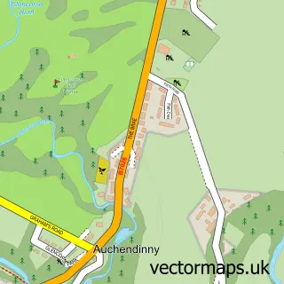
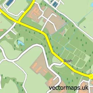
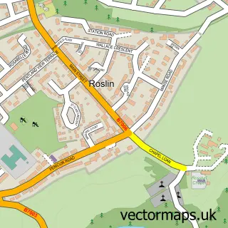
Nearby street map samples around Penicuik

More street maps in Midlothian
750 metre map area coverage
Boundary, postcode and point of interest information for the 750m x 750m rectangle centred on this sample map.
Boundaries containing map centre
Constituency: Midlothian Co Const
District: Midlothian
Icb: Lothian
Postcode District: EH26
Postcode Sector: EH26 8
Ward: Penicuik Ward
Nearby boundaries intersecting sample
Postcode Sector: EH26 9
Postcode coverage
POI category counts
Hair Salon: 7
Restaurant: 7
Beauty Salon: 5
Cafe: 4
Church Cathedral: 4
Community Services Non Profits: 4
Dentist: 4
Funeral Services And Cemeteries: 4
Korean Grocery Store: 4
Sports Club And League: 4
Sample points of interest
- Accounting Plus
- Auchencorth Moss
- The Salvation Army
- PCAA
- Penicuik Community Arts Association
- Capital Embroidery
- penicuik pottery
- Lord Of The Noodles Penicuik
- ATM (Post Office)
- DK Mobile Valeting and Detailing
- BNC Autoparts
- Greggs
Create a larger editable map of Penicuik
This sample shows only a 750 metre area. To create a larger map of Penicuik, use our map builder to choose your own coverage area, add titles and download editable SVG, PDF and PNG files.
Create a custom map of Penicuik