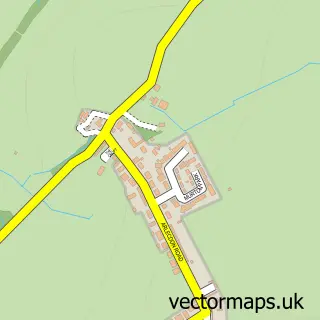
This Ennerdale Bridge street map is a detailed vector street map covering a 750m x 750m area. Select a larger area to create and download your own vector street map of Ennerdale Bridge.
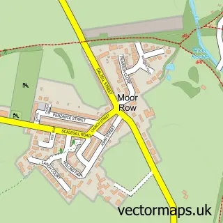
The 750-metre map sample for Ennerdale Bridge covers 74 mapped buildings and approximately 6.1 km of road detail, of which 3 named roads are named. The immediate area includes 1 school, 1 pub and 1 MOT station within 2 miles. The wider area around Ennerdale Bridge features 2 food and drink venues and 1 hotel. To create a larger or custom map of Ennerdale Bridge, the map builder lets you define your own coverage area and download editable SVG, PDF and PNG files.
Create a larger editable map of Ennerdale Bridge
Choose any area you need and generate a high-quality vector map instantly. Perfect for print, planning, design, business and personal use.

This Ennerdale Bridge street map in Cumbria is available as downloadable SVG, PDF and PNG map files, or as a printed map for planning, business, display, education, local information and design work. You can also create a larger custom map area using the map selector.
What this Ennerdale Bridge map sample shows
Ennerdale Bridge lies within Ennerdale And Kinniside Cp parish, part of Arlecdon & Ennerdale ward in the Cumberland local authority area. The postcode geography for this area includes the CA postcode area, the CA23 postcode district and the CA23 3 postcode sector. Residents fall under the Nhs North East And North Cumbria Integrated Care Board for NHS services.
Local features near Ennerdale Bridge
Within 2 milesAmenities and services in and around Ennerdale Bridge.
Administrative and postcode information for Ennerdale Bridge
The local authority covering Ennerdale Bridge is Cumberland, within the county of Cumbria. The settlement lies within Arlecdon & Ennerdale ward and Ennerdale And Kinniside Cp civil parish. The CA23 postcode district and CA23 3 postcode sector serve the immediate area. NHS provision in the area is delivered through North Cumbria Integrated Care Nhs Foundation Trust.
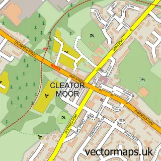
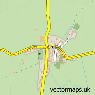
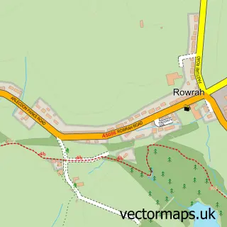
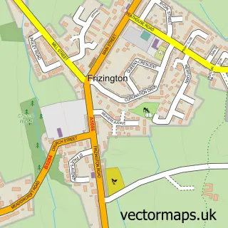
Nearby street map samples around Ennerdale Bridge

More street maps in Cumbria
750 metre map area coverage
Boundary, postcode and point of interest information for the 750m x 750m rectangle centred on this sample map.
Boundaries containing map centre
Constituency: Whitehaven and Workington Co Const
District: Cumberland
Icb: NHS North East and North Cumbria ICB
Parish: Ennerdale and Kinniside CP
Police Force: cumbria
Postcode District: CA23
Postcode Sector: CA23 3
Ward: Cleator Moor East and Frizington Ward
Nearby boundaries intersecting sample
Parish: Lamplugh CP
Postcode coverage
POI category counts
Bed And Breakfast: 2
Elementary School: 2
Cafe: 1
Church Cathedral: 1
Environmental Conservation And Ecological Organizations: 1
Hostel: 1
Hotel: 1
Lodge: 1
Music Venue: 1
Pet Services: 1
Sample points of interest
- Low Gillerthwaite Field Centre
- The Shepherds Arms Hotel
- The Gather
- St Mary's Church, Ennerdale
- Ennerdale & Kinniside C of E Primary School
- Ennerdale and Kinniside Church of England Primary School
- KT Skip Hire
- YHA Black Sail
- The Shepherds Arms Hotel
- Thorntrees Holiday Home
- Great Artists - Small Venue
- K9 Hotel
Create a larger editable map of Ennerdale Bridge
This sample shows only a 750 metre area. To create a larger map of Ennerdale Bridge, use our map builder to choose your own coverage area, add titles and download editable SVG, PDF and PNG files.
Create a custom map of Ennerdale Bridge