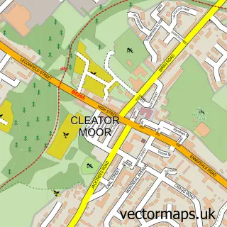
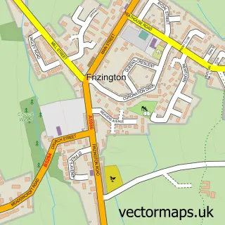
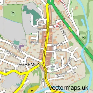
This Cleator street map is a detailed vector street map covering a 750m x 750m area. Select a larger area to create and download your own vector street map of Cleator.
The 750-metre map sample for Cleator covers 109 mapped buildings and approximately 9.7 km of road detail, of which 10 named roads are named. The immediate area includes 2 GP surgeries within 2 miles and 7 MOT stations within 2 miles. The wider area around Cleator features 2 hotels. To create a larger or custom map of Cleator, the map builder lets you define your own coverage area and download editable SVG, PDF and PNG files.
Create a larger editable map of Cleator
Choose any area you need and generate a high-quality vector map instantly. Perfect for print, planning, design, business and personal use.

This Cleator street map in Cumbria is available as downloadable SVG, PDF and PNG map files, or as a printed map for planning, business, display, education, local information and design work. You can also create a larger custom map area using the map selector.
What this Cleator map sample shows
Cleator lies within Cleator Moor Cp parish, part of Cleator Moor ward in the Cumberland local authority area. The postcode geography for this area includes the CA postcode area, the CA23 postcode district and the CA23 3 postcode sector. Residents fall under the Nhs North East And North Cumbria Integrated Care Board for NHS services.
Local features near Cleator
Within 2 milesAmenities and services in and around Cleator.
Administrative and postcode information for Cleator
The local authority covering Cleator is Cumberland, within the county of Cumbria. The settlement lies within Cleator Moor ward and Cleator Moor Cp civil parish. The CA23 postcode district and CA23 3 postcode sector serve the immediate area. NHS provision in the area is delivered through North Cumbria Integrated Care Nhs Foundation Trust.
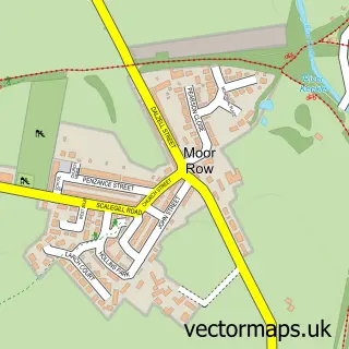
Nearby street map samples around Cleator


More street maps in Cumbria
750 metre map area coverage
Boundary, postcode and point of interest information for the 750m x 750m rectangle centred on this sample map.
Boundaries containing map centre
Constituency: Whitehaven and Workington Co Const
District: Cumberland
Icb: NHS North East and North Cumbria ICB
Parish: Cleator Moor CP
Police Force: cumbria
Postcode District: CA23
Postcode Sector: CA23 3
Ward: Cleator Moor West Ward
Nearby boundaries intersecting sample
Parish: Egremont CP
Postcode District: CA22, CA24
Postcode Sector: CA22 2, CA24 3
Ward: Egremont North and St. Bees Ward, Egremont Ward
Postcode coverage
POI category counts
Hotel: 2
Arts And Crafts: 1
Assisted Living Facility: 1
Bicycle Shop: 1
Church Cathedral: 1
Convenience Store: 1
Dance School: 1
Engineering Services: 1
Hostel: 1
Naturopathic Holistic: 1
Sample points of interest
- Quantumistic Art
- Floshfield
- Ainfield Cycle Centre
- St Leonard's Church
- Cleator Store
- Step By Step School Of Dance
- Brannan Industrial
- Black Sail Hut
- Ennerdale Country House Hotel
- Ennerdale Country Manor
- Sacred Haven Holistic Events
- Cleator Cricket Club
Create a larger editable map of Cleator
This sample shows only a 750 metre area. To create a larger map of Cleator, use our map builder to choose your own coverage area, add titles and download editable SVG, PDF and PNG files.
Create a custom map of Cleator