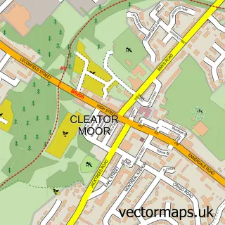
This Bigrigg street map is a detailed vector street map covering a 750m x 750m area. Select a larger area to create and download your own vector street map of Bigrigg.
The 750-metre map sample for Bigrigg covers 209 mapped buildings and approximately 10.3 km of road detail, of which 12 named roads are named. The immediate area includes 2 GP surgeries within 2 miles and 7 MOT stations within 2 miles. The wider area around Bigrigg features 1 food and drink venue. To create a larger or custom map of Bigrigg, the map builder lets you define your own coverage area and download editable SVG, PDF and PNG files.
Create a larger editable map of Bigrigg
Choose any area you need and generate a high-quality vector map instantly. Perfect for print, planning, design, business and personal use.

This Bigrigg street map in Cumbria is available as downloadable SVG, PDF and PNG map files, or as a printed map for planning, business, display, education, local information and design work. You can also create a larger custom map area using the map selector.
What this Bigrigg map sample shows
Bigrigg lies within Egremont Cp parish, part of Moor Row & Bigrigg ward in the Cumberland local authority area. The postcode geography for this area includes the CA postcode area, the CA22 postcode district and the CA22 2 postcode sector. Residents fall under the Nhs North East And North Cumbria Integrated Care Board for NHS services.
Local features near Bigrigg
Within 2 milesAmenities and services in and around Bigrigg.
Administrative and postcode information for Bigrigg
Bigrigg lies within Egremont Cp parish, part of Moor Row & Bigrigg ward in the Cumberland local authority area. The postcode geography for this area includes the CA postcode area, the CA22 postcode district and the CA22 2 postcode sector. Residents fall under the Nhs North East And North Cumbria Integrated Care Board for NHS services.
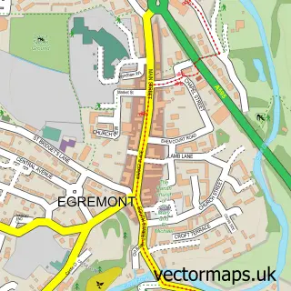
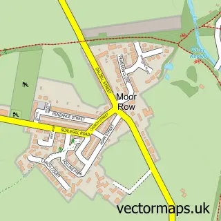
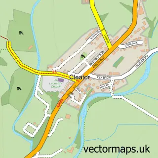
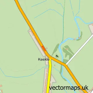
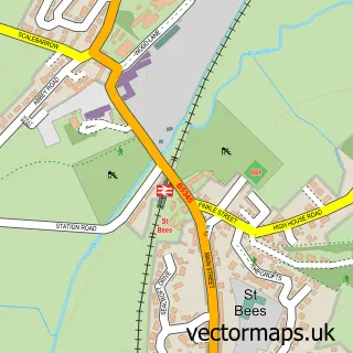
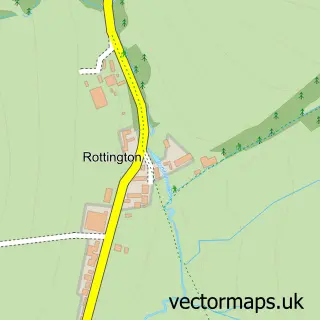
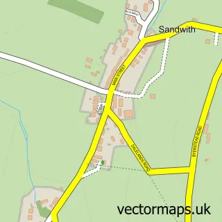
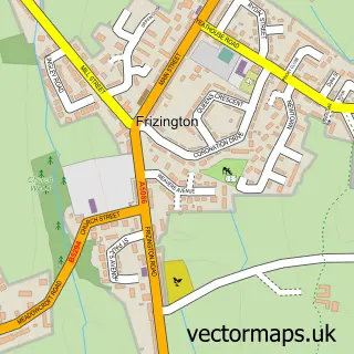
Nearby street map samples around Bigrigg


More street maps in Cumbria
750 metre map area coverage
Boundary, postcode and point of interest information for the 750m x 750m rectangle centred on this sample map.
Boundaries containing map centre
Constituency: Whitehaven and Workington Co Const
District: Cumberland
Icb: NHS North East and North Cumbria ICB
Parish: Egremont CP
Police Force: cumbria
Postcode District: CA22
Postcode Sector: CA22 2
Ward: Egremont North and St. Bees Ward
Nearby boundaries intersecting sample
No additional intersecting boundaries found.
Postcode coverage
POI category counts
Gas Station: 3
Convenience Store: 2
Accommodation: 1
Automotive Repair: 1
Banks: 1
Beauty And Spa: 1
British Restaurant: 1
Building Supply Store: 1
Contractor: 1
Land Surveying: 1
Sample points of interest
- 37 Croftlands
- Mitchells Minis
- NatWest Mobile Branch
- Noir Beauty
- Blacksmiths Restaurant
- Readymix 2Go
- E Moorhouse & Sons
- SPAR Bigrigg
- SPAR Bigrigg
- Gem Big Rigg
- TEXACO Station
- Texaco
Create a larger editable map of Bigrigg
This sample shows only a 750 metre area. To create a larger map of Bigrigg, use our map builder to choose your own coverage area, add titles and download editable SVG, PDF and PNG files.
Create a custom map of Bigrigg