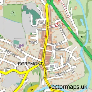
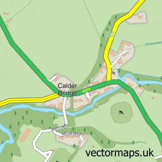
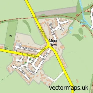
This Thornhill street map is a detailed vector street map covering a 750m x 750m area. Select a larger area to create and download your own vector street map of Thornhill.
The 750-metre map sample for Thornhill covers 258 mapped buildings and approximately 12.8 km of road detail, of which 15 named roads are named. The immediate area includes 1 school, 2 GP surgeries within 2 miles and 5 MOT stations within 2 miles. To create a larger or custom map of Thornhill, the map builder lets you define your own coverage area and download editable SVG, PDF and PNG files.
Create a larger editable map of Thornhill
Choose any area you need and generate a high-quality vector map instantly. Perfect for print, planning, design, business and personal use.

This Thornhill street map in Cumbria is available as downloadable SVG, PDF and PNG map files, or as a printed map for planning, business, display, education, local information and design work. You can also create a larger custom map area using the map selector.
What this Thornhill map sample shows
Thornhill lies within Haile Cp parish, part of Beckermet ward in the Cumberland local authority area. The postcode geography for this area includes the CA postcode area, the CA22 postcode district and the CA22 2 postcode sector. Residents fall under the Nhs North East And North Cumbria Integrated Care Board for NHS services.
Local features near Thornhill
Within 2 milesAmenities and services in and around Thornhill.
Administrative and postcode information for Thornhill
Thornhill lies within Haile Cp parish, part of Beckermet ward in the Cumberland local authority area. The postcode geography for this area includes the CA postcode area, the CA22 postcode district and the CA22 2 postcode sector. Residents fall under the Nhs North East And North Cumbria Integrated Care Board for NHS services.
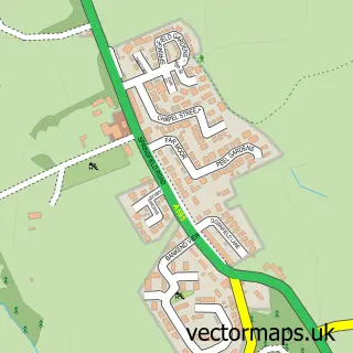
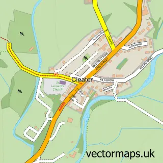
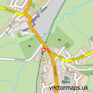
Nearby street map samples around Thornhill

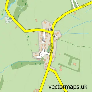
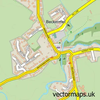
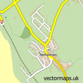
More street maps in Cumbria
750 metre map area coverage
Boundary, postcode and point of interest information for the 750m x 750m rectangle centred on this sample map.
Boundaries containing map centre
Constituency: Whitehaven and Workington Co Const
District: Cumberland
Icb: NHS North East and North Cumbria ICB
Parish: Beckermet CP
Police Force: cumbria
Postcode District: CA22
Postcode Sector: CA22 2
Ward: Gosforth Ward
Nearby boundaries intersecting sample
Parish: Haile CP, Lowside Quarter CP
Postcode coverage
POI category counts
Elementary School: 2
Anglican Church: 1
Beauty Salon: 1
Building Supply Store: 1
Contractor: 1
Food: 1
Framing Store: 1
Gardener: 1
Library: 1
Motorcycle Repair: 1
Sample points of interest
- Mission Church - SADLY NOW CLOSED
- Beau beauty
- ABC Scaffolding Services
- D Graham Building and Plastering
- Thornhill Primary School
- Thornhill Primary School
- Outscape Adventures
- Picture This
- Calder Landscapers
- Thornhill Library
- D&D Engineering
- Thornhill Post Office
Create a larger editable map of Thornhill
This sample shows only a 750 metre area. To create a larger map of Thornhill, use our map builder to choose your own coverage area, add titles and download editable SVG, PDF and PNG files.
Create a custom map of Thornhill