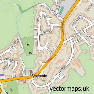
This Calder Bridge street map is a detailed vector street map covering a 750m x 750m area. Select a larger area to create and download your own vector street map of Calder Bridge.
The 750-metre map sample for Calder Bridge covers 57 mapped buildings and approximately 7.5 km of road detail, of which 2 named roads are named. The wider area around Calder Bridge features 1 tourism point of interest and 1 food and drink venue. To create a larger or custom map of Calder Bridge, the map builder lets you define your own coverage area and download editable SVG, PDF and PNG files.
Create a larger editable map of Calder Bridge
Choose any area you need and generate a high-quality vector map instantly. Perfect for print, planning, design, business and personal use.

This Calder Bridge street map in Cumbria is available as downloadable SVG, PDF and PNG map files, or as a printed map for planning, business, display, education, local information and design work. You can also create a larger custom map area using the map selector.
What this Calder Bridge map sample shows
Calder Bridge lies within Ponsonby Cp parish, part of Gosforth & Seascale ward in the Cumberland local authority area. The postcode geography for this area includes the CA postcode area, the CA20 postcode district and the CA20 1 postcode sector. Residents fall under the Nhs North East And North Cumbria Integrated Care Board for NHS services.
Local features near Calder Bridge
Within 2 milesAmenities and services in and around Calder Bridge.
Administrative and postcode information for Calder Bridge
Calder Bridge lies within Ponsonby Cp parish, part of Gosforth & Seascale ward in the Cumberland local authority area. The postcode geography for this area includes the CA postcode area, the CA20 postcode district and the CA20 1 postcode sector. Residents fall under the Nhs North East And North Cumbria Integrated Care Board for NHS services.
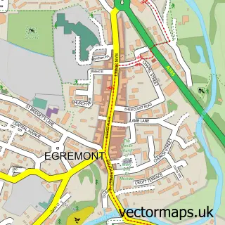
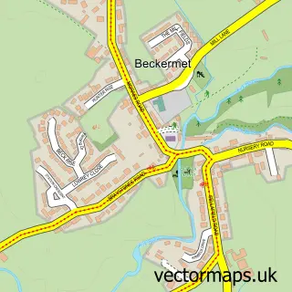
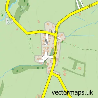
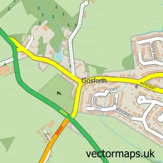
Nearby street map samples around Calder Bridge


More street maps in Cumbria
750 metre map area coverage
Boundary, postcode and point of interest information for the 750m x 750m rectangle centred on this sample map.
Boundaries containing map centre
Constituency: Whitehaven and Workington Co Const
District: Cumberland
Icb: NHS North East and North Cumbria ICB
Parish: Ponsonby CP
Police Force: cumbria
Postcode District: CA20
Postcode Sector: CA20 1
Ward: Gosforth Ward
Nearby boundaries intersecting sample
No additional intersecting boundaries found.
Postcode coverage
POI category counts
Anglican Church: 1
Bed And Breakfast: 1
Cafe: 1
Campground: 1
Home And Garden: 1
Lumber Store: 1
Town Hall: 1
Sample points of interest
- St Bridget Calderbridge
- Stanley Arms Hotel
- The Sawmill Cafe & Farm Shop
- Lake District, Wasdale National Trust Campsite
- Mill Garage and Garden Machinery
- Jacksons Timber
- Calderbridge and Ponsonby Village Hall and Community
Create a larger editable map of Calder Bridge
This sample shows only a 750 metre area. To create a larger map of Calder Bridge, use our map builder to choose your own coverage area, add titles and download editable SVG, PDF and PNG files.
Create a custom map of Calder Bridge