This Seascale street map is a detailed vector street map covering a 750m x 750m area. Select a larger area to create and download your own vector street map of Seascale.
The 750-metre map sample for Seascale covers 341 mapped buildings and approximately 11.9 km of road detail, of which 16 named roads are named. The immediate area includes 1 school, 1 GP surgery and 1 MOT station. The wider area around Seascale features 4 hotels. To create a larger or custom map of Seascale, the map builder lets you define your own coverage area and download editable SVG, PDF and PNG files.
Create a larger editable map of Seascale
Choose any area you need and generate a high-quality vector map instantly. Perfect for print, planning, design, business and personal use.

This Seascale street map in Cumbria is available as downloadable SVG, PDF and PNG map files, or as a printed map for planning, business, display, education, local information and design work. You can also create a larger custom map area using the map selector.
What this Seascale map sample shows
Seascale lies within Seascale Cp parish, part of Gosforth & Seascale ward in the Cumberland local authority area. The postcode geography for this area includes the CA postcode area, the CA20 postcode district and the CA20 1 postcode sector. Residents fall under the Nhs North East And North Cumbria Integrated Care Board for NHS services.
Local features near Seascale
Within 2 milesAmenities and services in and around Seascale.
Administrative and postcode information for Seascale
Seascale lies within Seascale Cp parish, part of Gosforth & Seascale ward in the Cumberland local authority area. The postcode geography for this area includes the CA postcode area, the CA20 postcode district and the CA20 1 postcode sector. Residents fall under the Nhs North East And North Cumbria Integrated Care Board for NHS services.
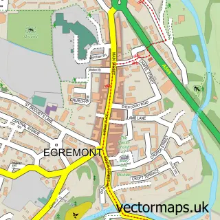
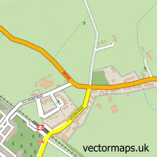
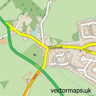
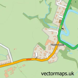
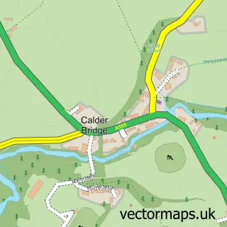
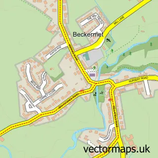
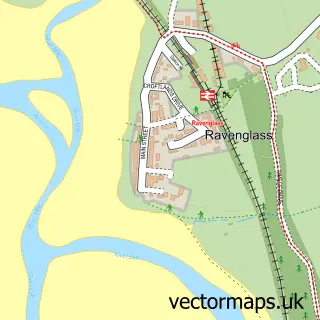
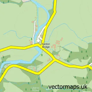
Nearby street map samples around Seascale

More street maps in Cumbria
750 metre map area coverage
Boundary, postcode and point of interest information for the 750m x 750m rectangle centred on this sample map.
Boundaries containing map centre
Constituency: Whitehaven and Workington Co Const
District: Cumberland
Icb: NHS North East and North Cumbria ICB
Parish: Seascale CP
Police Force: cumbria
Postcode District: CA20
Postcode Sector: CA20 1
Ward: Gosforth Ward
Nearby boundaries intersecting sample
No additional intersecting boundaries found.
Postcode coverage
POI category counts
Hotel: 4
Beauty Salon: 3
Doctor: 2
Elementary School: 2
Anglican Church: 1
Arts And Crafts: 1
Atms: 1
Bakery: 1
Farm: 1
Fire Department: 1
Sample points of interest
- St Cuthbert Seascale
- Neate Crafts
- The Cooperative Food Seascale Gosforth Rd
- The Bake House
- TNN.Seascale
- The nail nook.seascale
- Tropic Skincare by Bev's Beauty Room
- Seascale Health Centre
- Seascale and Bootle Surgeries
- Seascale Primary School
- Seascale School
- Stephney Farm Pumpkin Patch
Create a larger editable map of Seascale
This sample shows only a 750 metre area. To create a larger map of Seascale, use our map builder to choose your own coverage area, add titles and download editable SVG, PDF and PNG files.
Create a custom map of Seascale