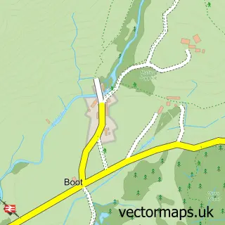
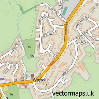
This Santon Bridge street map is a detailed vector street map covering a 750m x 750m area. Select a larger area to create and download your own vector street map of Santon Bridge.
The 750-metre map sample for Santon Bridge covers 31 mapped buildings and approximately 11.0 km of road detail. The immediate area includes 1 pub. The wider area around Santon Bridge features 3 tourism points of interest, 2 food and drink venues and 1 hotel. To create a larger or custom map of Santon Bridge, the map builder lets you define your own coverage area and download editable SVG, PDF and PNG files.
Create a larger editable map of Santon Bridge
Choose any area you need and generate a high-quality vector map instantly. Perfect for print, planning, design, business and personal use.

This Santon Bridge street map in Cumbria is available as downloadable SVG, PDF and PNG map files, or as a printed map for planning, business, display, education, local information and design work. You can also create a larger custom map area using the map selector.
What this Santon Bridge map sample shows
Santon Bridge lies within Irton With Santon Cp parish, part of Gosforth & Seascale ward in the Cumberland local authority area. The postcode geography for this area includes the CA postcode area, the CA19 postcode district and the CA19 1 postcode sector. Residents fall under the Nhs North East And North Cumbria Integrated Care Board for NHS services.
Local features near Santon Bridge
Within 2 milesAmenities and services in and around Santon Bridge.
Administrative and postcode information for Santon Bridge
The local authority covering Santon Bridge is Cumberland, within the county of Cumbria. The settlement lies within Gosforth & Seascale ward and Irton With Santon Cp civil parish. The CA19 postcode district and CA19 1 postcode sector serve the immediate area. NHS provision in the area is delivered through North Cumbria Integrated Care Nhs Foundation Trust.
Nearby street map samples around Santon Bridge

More street maps in Cumbria
750 metre map area coverage
Boundary, postcode and point of interest information for the 750m x 750m rectangle centred on this sample map.
Boundaries containing map centre
Constituency: Whitehaven and Workington Co Const
District: Cumberland
Icb: NHS North East and North Cumbria ICB
Parish: Irton with Santon CP
Police Force: cumbria
Postcode District: CA19
Postcode Sector: CA19 1
Ward: Millom Without Ward
Nearby boundaries intersecting sample
Parish: Wasdale CP
Ward: Gosforth Ward
Postcode coverage
POI category counts
Campground: 2
Cafe: 1
Community Center: 1
Fountain: 1
Hotel: 1
National Park: 1
Pub: 1
Tea Room: 1
Sample points of interest
- The Woodlands Tea Room
- Bridge End Camping
- The Old Post Office Campsite
- Santon Bridge Village Hall
- Santon Bridge
- The Bridge Inn Santon Bridge the Lake District
- Wrynose Bottom, Lake District
- Bridge Inn
- Santon Bridge Gift Shop and Woodland's Tea Room
Create a larger editable map of Santon Bridge
This sample shows only a 750 metre area. To create a larger map of Santon Bridge, use our map builder to choose your own coverage area, add titles and download editable SVG, PDF and PNG files.
Create a custom map of Santon Bridge