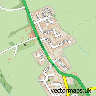
This Egremont street map is a detailed vector street map covering a 750m x 750m area. Select a larger area to create and download your own vector street map of Egremont.
The 750-metre map sample for Egremont covers 285 mapped buildings and approximately 16.0 km of road detail, of which 21 named roads are named. The immediate area includes 1 primary school and 1 secondary school, 2 GP surgeries, 6 pubs and 3 MOT stations, with 5 within 2 miles. The wider area around Egremont features 1 tourism point of interest, 12 food and drink venues and 2 hotels. To create a larger or custom map of Egremont, the map builder lets you define your own coverage area and download editable SVG, PDF and PNG files.
Create a larger editable map of Egremont
Choose any area you need and generate a high-quality vector map instantly. Perfect for print, planning, design, business and personal use.

This Egremont street map in Cumbria is available as downloadable SVG, PDF and PNG map files, or as a printed map for planning, business, display, education, local information and design work. You can also create a larger custom map area using the map selector.
What this Egremont map sample shows
Egremont lies within Egremont Cp parish, part of Egremont ward in the Cumberland local authority area. The postcode geography for this area includes the CA postcode area, the CA22 postcode district and the CA22 2 postcode sector. Residents fall under the Nhs North East And North Cumbria Integrated Care Board for NHS services.
Local features near Egremont
Within 2 milesAmenities and services in and around Egremont.
Administrative and postcode information for Egremont
The local authority covering Egremont is Cumberland, within the county of Cumbria. The settlement lies within Egremont ward and Egremont Cp civil parish. The CA22 postcode district and CA22 2 postcode sector serve the immediate area. NHS provision in the area is delivered through North Cumbria Integrated Care Nhs Foundation Trust.
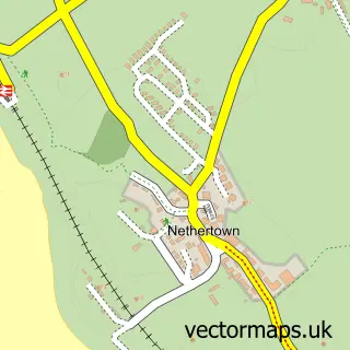
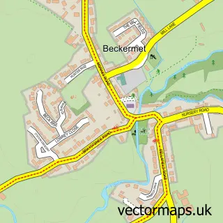
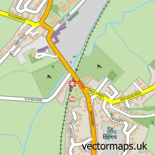
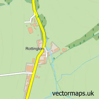
Nearby street map samples around Egremont


More street maps in Cumbria
750 metre map area coverage
Boundary, postcode and point of interest information for the 750m x 750m rectangle centred on this sample map.
Boundaries containing map centre
Constituency: Whitehaven and Workington Co Const
District: Cumberland
Icb: NHS North East and North Cumbria ICB
Parish: Egremont CP
Police Force: cumbria
Postcode District: CA22
Postcode Sector: CA22 2
Ward: Egremont Ward
Nearby boundaries intersecting sample
No additional intersecting boundaries found.
Postcode coverage
POI category counts
Beauty Salon: 6
Pub: 6
Doctor: 5
Cafe: 4
Grocery Store: 4
Pizza Restaurant: 4
Bank Credit Union: 3
Beauty And Spa: 3
Betting Center: 3
Gym: 3
Sample points of interest
- Egremont Swimming Baths
- St Mary & St Michael's Church
- Lowes Court Gallery
- The Cooperative Food (BF) Egremont
- Elite MOT Centre Cumbria
- Cumberland Building Society
- NatWest
- The Cumberland
- HSBC Bank
- The Central
- The Lad Barber
- Cutting It
Create a larger editable map of Egremont
This sample shows only a 750 metre area. To create a larger map of Egremont, use our map builder to choose your own coverage area, add titles and download editable SVG, PDF and PNG files.
Create a custom map of Egremont