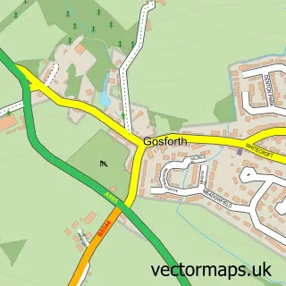
This Ravenglass street map is a detailed vector street map covering a 750m x 750m area. Select a larger area to create and download your own vector street map of Ravenglass.
The 750-metre map sample for Ravenglass covers 65 mapped buildings and approximately 4.6 km of road detail, of which 5 named roads are named. The immediate area includes 1 railway station and 1 pub. The wider area around Ravenglass features 4 tourism points of interest, 2 food and drink venues and 5 hotels. To create a larger or custom map of Ravenglass, the map builder lets you define your own coverage area and download editable SVG, PDF and PNG files.
Create a larger editable map of Ravenglass
Choose any area you need and generate a high-quality vector map instantly. Perfect for print, planning, design, business and personal use.

This Ravenglass street map in Cumbria is available as downloadable SVG, PDF and PNG map files, or as a printed map for planning, business, display, education, local information and design work. You can also create a larger custom map area using the map selector.
What this Ravenglass map sample shows
Ravenglass lies within Muncaster Cp parish, part of Black Combe & Scafell ward in the Cumberland local authority area. The postcode geography for this area includes the CA postcode area, the CA18 postcode district and the CA18 1 postcode sector. Residents fall under the Nhs North East And North Cumbria Integrated Care Board for NHS services.
Local features near Ravenglass
Within 2 milesAmenities and services in and around Ravenglass.
Administrative and postcode information for Ravenglass
The local authority covering Ravenglass is Cumberland, within the county of Cumbria. The settlement lies within Black Combe & Scafell ward and Muncaster Cp civil parish. The CA18 postcode district and CA18 1 postcode sector serve the immediate area. NHS provision in the area is delivered through University Hospitals Of Morecambe Bay Nhs Foundation Trust.
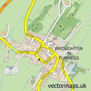
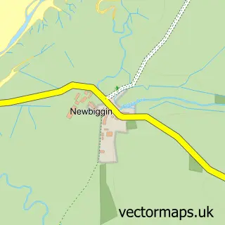
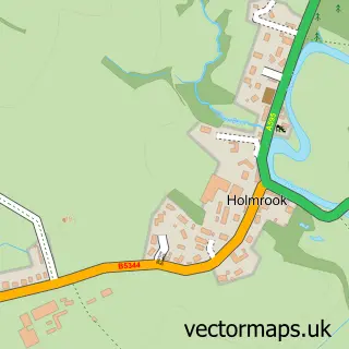
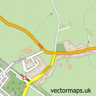
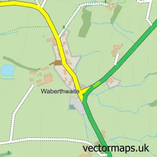
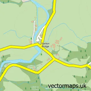
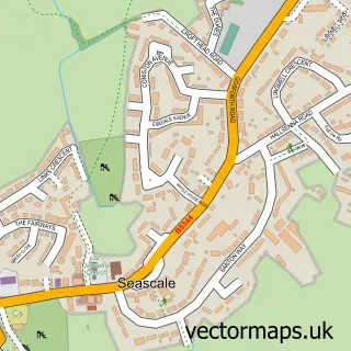
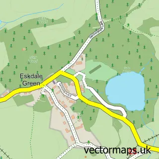
Nearby street map samples around Ravenglass

More street maps in Cumbria
750 metre map area coverage
Boundary, postcode and point of interest information for the 750m x 750m rectangle centred on this sample map.
Boundaries containing map centre
Constituency: Barrow and Furness Co Const
District: Cumberland
Icb: NHS North East and North Cumbria ICB
Parish: Muncaster CP
Police Force: cumbria
Postcode District: CA18
Postcode Sector: CA18 1
Ward: Millom Without Ward
Nearby boundaries intersecting sample
Constituency: Whitehaven and Workington Co Const
Parish: Bootle CP, Drigg and Carleton CP
Postcode District: CA19
Postcode Sector: CA19 1
Postcode coverage
POI category counts
Hotel: 5
Bed And Breakfast: 3
Campground: 3
Train Station: 2
Beach: 1
Cafe: 1
Ev Charging Station: 1
Museum: 1
Post Office: 1
Pub: 1
Sample points of interest
- Ravenglass Beach
- Rose Garth
- Rosegarth Guest House
- The Bay Horse Bed & Breakfast
- Turntable Cafe
- Camping & Caravan Club Site - Ravenglass
- Ravenglass Camping and Caravanning Club
- Ravenglass Camping and Caravanning Club Site
- Ravenglass
- Holly House Hotel
- Pennington Hotel
- Ravenglass Village
Create a larger editable map of Ravenglass
This sample shows only a 750 metre area. To create a larger map of Ravenglass, use our map builder to choose your own coverage area, add titles and download editable SVG, PDF and PNG files.
Create a custom map of Ravenglass