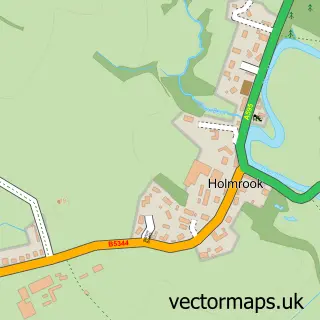
This Waberthwaite street map is a detailed vector street map covering a 750m x 750m area. Select a larger area to create and download your own vector street map of Waberthwaite.
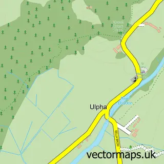
The 750-metre map sample for Waberthwaite covers 53 mapped buildings and approximately 7.8 km of road detail. The immediate area includes 1 school and 2 pubs. The wider area around Waberthwaite features 2 food and drink venues and 1 campsite within 2 miles. To create a larger or custom map of Waberthwaite, the map builder lets you define your own coverage area and download editable SVG, PDF and PNG files.
Create a larger editable map of Waberthwaite
Choose any area you need and generate a high-quality vector map instantly. Perfect for print, planning, design, business and personal use.

This Waberthwaite street map in Cumbria is available as downloadable SVG, PDF and PNG map files, or as a printed map for planning, business, display, education, local information and design work. You can also create a larger custom map area using the map selector.
What this Waberthwaite map sample shows
Waberthwaite lies within Waberthwaite Cp parish, part of Black Combe & Scafell ward in the Cumberland local authority area. The postcode geography for this area includes the LA postcode area, the LA19 postcode district and the LA19 5 postcode sector. Residents fall under the Nhs North East And North Cumbria Integrated Care Board for NHS services.
Local features near Waberthwaite
Within 2 milesAmenities and services in and around Waberthwaite.
Administrative and postcode information for Waberthwaite
Waberthwaite lies within Waberthwaite Cp parish, part of Black Combe & Scafell ward in the Cumberland local authority area. The postcode geography for this area includes the LA postcode area, the LA19 postcode district and the LA19 5 postcode sector. Residents fall under the Nhs North East And North Cumbria Integrated Care Board for NHS services.
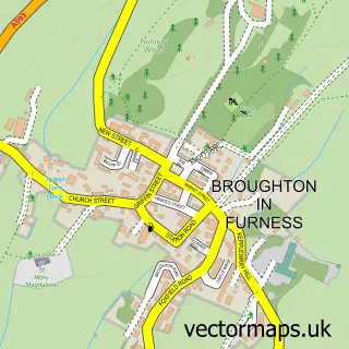
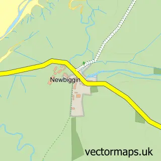
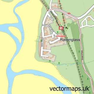
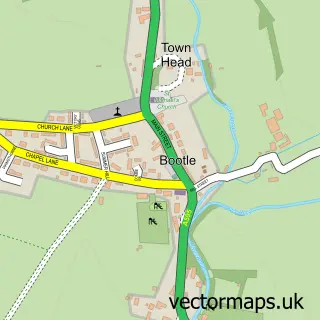
Nearby street map samples around Waberthwaite

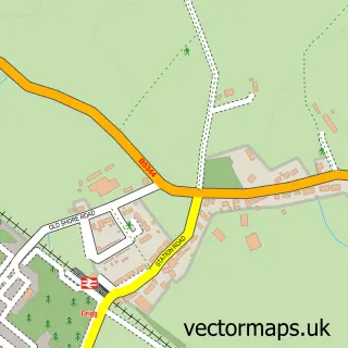
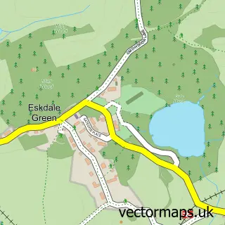
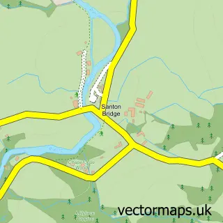
More street maps in Cumbria
750 metre map area coverage
Boundary, postcode and point of interest information for the 750m x 750m rectangle centred on this sample map.
Boundaries containing map centre
Constituency: Barrow and Furness Co Const
District: Cumberland
Icb: NHS North East and North Cumbria ICB
Parish: Waberthwaite CP
Police Force: cumbria
Postcode District: LA19
Postcode Sector: LA19 5
Ward: Millom Without Ward
Nearby boundaries intersecting sample
No additional intersecting boundaries found.
Postcode coverage
POI category counts
Pub: 2
Agricultural Service: 1
Butcher Shop: 1
Community Services Non Profits: 1
Elementary School: 1
Post Office: 1
Professional Services: 1
Retail: 1
Shipping Center: 1
Sample points of interest
- Adam Jackson Ltd
- R B Woodall Waberthwaite
- Waberthwaite, Corney & District Village Hall
- Waberthwaite Church of England Primary School
- Post Office
- J R Thornton
- Brown Cow Inn
- The Brown Cow Inn
- Adam Jackson
- Post Office-Waberthwaite
Create a larger editable map of Waberthwaite
This sample shows only a 750 metre area. To create a larger map of Waberthwaite, use our map builder to choose your own coverage area, add titles and download editable SVG, PDF and PNG files.
Create a custom map of Waberthwaite