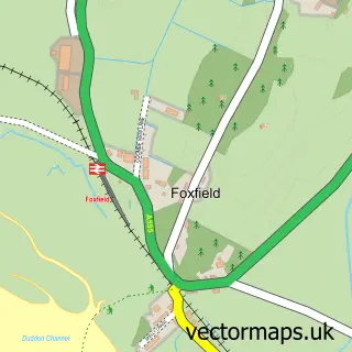
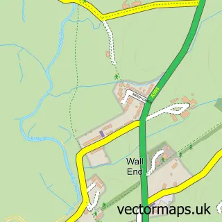
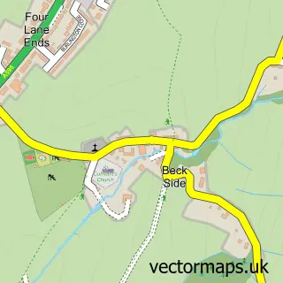
This Broughton in Furness street map is a detailed vector street map covering a 750m x 750m area. Select a larger area to create and download your own vector street map of Broughton in Furness.
The 750-metre map sample for Broughton in Furness covers 175 mapped buildings and approximately 14.2 km of road detail, of which 19 named roads are named. The immediate area includes 1 school, 3 pubs and 1 MOT station. The wider area around Broughton in Furness features 3 tourism points of interest, 4 food and drink venues and 2 hotels. To create a larger or custom map of Broughton in Furness, the map builder lets you define your own coverage area and download editable SVG, PDF and PNG files.
Create a larger editable map of Broughton in Furness
Choose any area you need and generate a high-quality vector map instantly. Perfect for print, planning, design, business and personal use.

This Broughton in Furness street map in Cumbria is available as downloadable SVG, PDF and PNG map files, or as a printed map for planning, business, display, education, local information and design work. You can also create a larger custom map area using the map selector.
What this Broughton in Furness map sample shows
Broughton in Furness lies within Broughton West Cp parish, part of Broughton & Coniston ward in the Westmorland And Furness local authority area. The postcode geography for this area includes the LA postcode area, the LA20 postcode district and the LA20 6 postcode sector. Residents fall under the Nhs Lancashire And South Cumbria Integrated Care Board for NHS services.
Local features near Broughton in Furness
Within 2 milesAmenities and services in and around Broughton in Furness.
Administrative and postcode information for Broughton in Furness
The local authority covering Broughton in Furness is Westmorland And Furness, within the county of Cumbria. The settlement lies within Broughton & Coniston ward and Broughton West Cp civil parish. The LA20 postcode district and LA20 6 postcode sector serve the immediate area. NHS provision in the area is delivered through University Hospitals Of Morecambe Bay Nhs Foundation Trust.
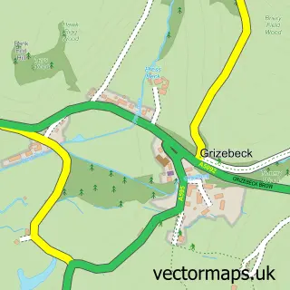
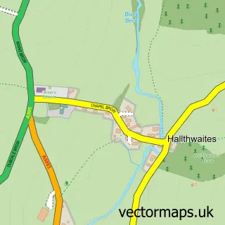
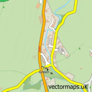
Nearby street map samples around Broughton in Furness

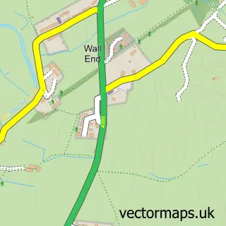
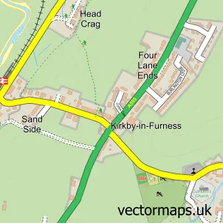
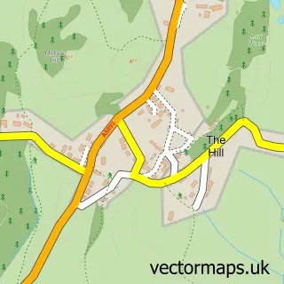
More street maps in Cumbria
750 metre map area coverage
Boundary, postcode and point of interest information for the 750m x 750m rectangle centred on this sample map.
Boundaries containing map centre
Constituency: Barrow and Furness Co Const
District: Westmorland and Furness
Icb: NHS Lancashire and South Cumbria ICB
Parish: Broughton West CP
Police Force: cumbria
Postcode District: LA20
Postcode Sector: LA20 6
Ward: High Furness Ward
Nearby boundaries intersecting sample
No additional intersecting boundaries found.
Postcode coverage
POI category counts
Pub: 3
Anglican Church: 2
Holiday Rental Home: 2
Hotel: 2
Park: 2
Veterinarian: 2
Arts And Crafts: 1
Attractions And Activities: 1
Bakery: 1
Banks: 1
Sample points of interest
- Broughton-in-Furness: St Mary Magdalene
- Parish of Broughton and Duddon
- The Beaded Garden
- The Kepplewray Centre
- Broughton Village Bakery
- Barclays
- The Clocktower Community Gallery
- S.J.Eccles Painting & Decorating
- The Square Café
- St Mary Magdalene's Church, Broughton-in-Furness
- Victory Hall
- Dr NL Hall & Dr LA Wilson
Create a larger editable map of Broughton in Furness
This sample shows only a 750 metre area. To create a larger map of Broughton in Furness, use our map builder to choose your own coverage area, add titles and download editable SVG, PDF and PNG files.
Create a custom map of Broughton in Furness