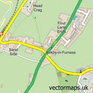
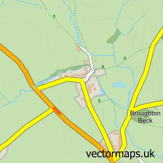
This Grizebeck street map is a detailed vector street map covering a 750m x 750m area. Select a larger area to create and download your own vector street map of Grizebeck.
The 750-metre map sample for Grizebeck covers 54 mapped buildings and approximately 13.3 km of road detail, of which 1 named road are named. The immediate area includes 1 GP surgery within 2 miles and 1 MOT station within 2 miles. The wider area around Grizebeck features 1 tourism point of interest, 1 food and drink venue and 1 hotel. To create a larger or custom map of Grizebeck, the map builder lets you define your own coverage area and download editable SVG, PDF and PNG files.
Create a larger editable map of Grizebeck
Choose any area you need and generate a high-quality vector map instantly. Perfect for print, planning, design, business and personal use.

This Grizebeck street map in Cumbria is available as downloadable SVG, PDF and PNG map files, or as a printed map for planning, business, display, education, local information and design work. You can also create a larger custom map area using the map selector.
What this Grizebeck map sample shows
Grizebeck lies within Kirkby Ireleth Cp parish, part of Broughton & Coniston ward in the Westmorland And Furness local authority area. The postcode geography for this area includes the LA postcode area, the LA17 postcode district and the LA17 7 postcode sector. Residents fall under the Nhs Lancashire And South Cumbria Integrated Care Board for NHS services.
Local features near Grizebeck
Within 2 milesAmenities and services in and around Grizebeck.
Administrative and postcode information for Grizebeck
Grizebeck lies within Kirkby Ireleth Cp parish, part of Broughton & Coniston ward in the Westmorland And Furness local authority area. The postcode geography for this area includes the LA postcode area, the LA17 postcode district and the LA17 7 postcode sector. Residents fall under the Nhs Lancashire And South Cumbria Integrated Care Board for NHS services.
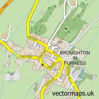
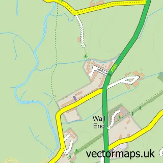
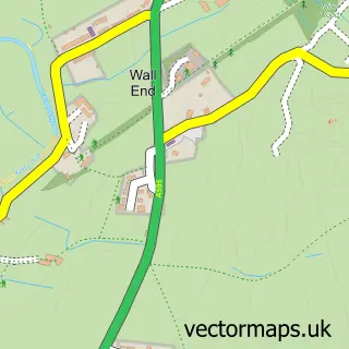
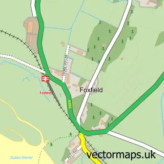
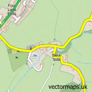
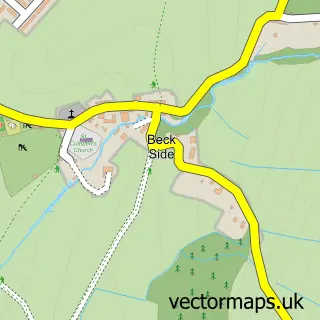
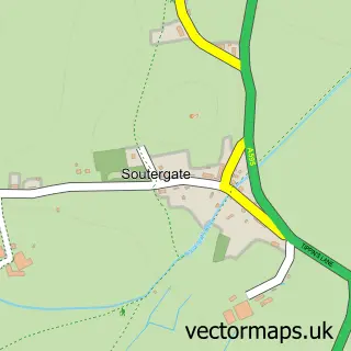
Nearby street map samples around Grizebeck

More street maps in Cumbria
750 metre map area coverage
Boundary, postcode and point of interest information for the 750m x 750m rectangle centred on this sample map.
Boundaries containing map centre
Constituency: Barrow and Furness Co Const
District: Westmorland and Furness
Icb: NHS Lancashire and South Cumbria ICB
Parish: Kirkby Ireleth CP
Police Force: cumbria
Postcode District: LA17
Postcode Sector: LA17 7
Ward: High Furness Ward
Nearby boundaries intersecting sample
No additional intersecting boundaries found.
Postcode coverage
POI category counts
Cottage: 2
Automotive Repair: 1
Building Supply Store: 1
Campground: 1
Coffee Shop: 1
Community Center: 1
Gardener: 1
Gas Station: 1
Holiday Rental Home: 1
Hotel: 1
Sample points of interest
- Ultimate alloys barrow
- PJO Plumbing & Heating Services
- Sturdy Bank Campsite
- Lindsay's Coffee Trailer
- The Community Hall at Grizebeck
- Bank End Holiday Cottages
- Spring Gardens Dog Friendly Holiday Cottage
- Primary Landscapes
- Gulf
- Sturdy Bank Barn
- The Greyhound Inn
- Bank End Boarding Kennels
Create a larger editable map of Grizebeck
This sample shows only a 750 metre area. To create a larger map of Grizebeck, use our map builder to choose your own coverage area, add titles and download editable SVG, PDF and PNG files.
Create a custom map of Grizebeck