This Falkland street map is a detailed vector street map covering a 750m x 750m area. Select a larger area to create and download your own vector street map of Falkland.
The 750-metre map sample for Falkland covers 109 mapped buildings and approximately 16.2 km of road detail, of which 23 named roads are named. The wider area around Falkland features 1 tourism point of interest, 2 food and drink venues and 3 hotels. To create a larger or custom map of Falkland, the map builder lets you define your own coverage area and download editable SVG, PDF and PNG files.
Create a larger editable map of Falkland
Choose any area you need and generate a high-quality vector map instantly. Perfect for print, planning, design, business and personal use.

This Falkland street map in Fife is available as downloadable SVG, PDF and PNG map files, or as a printed map for planning, business, display, education, local information and design work. You can also create a larger custom map area using the map selector.
What this Falkland map sample shows
Falkland lies within Fife parish, part of Howe Of Fife And Tay Coast ward in the Fife local authority area. The postcode geography for this area includes the KY postcode area, the KY15 postcode district and the KY15 7 postcode sector. Residents fall under the Fife for NHS services.
Local features near Falkland
Within 2 milesAmenities and services in and around Falkland.
Administrative and postcode information for Falkland
The local authority covering Falkland is Fife, within the county of Fife. The settlement lies within Howe Of Fife And Tay Coast ward and Fife civil parish. The KY15 postcode district and KY15 7 postcode sector serve the immediate area. NHS provision in the area is delivered through Fife.
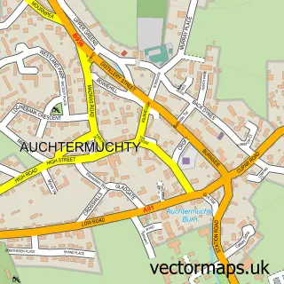
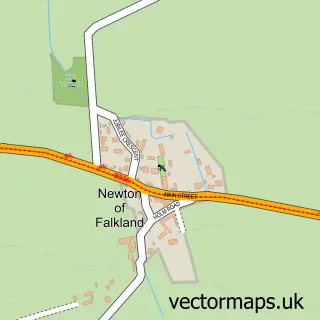
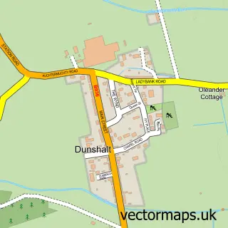
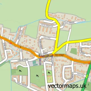
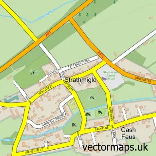
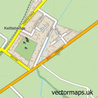
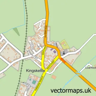
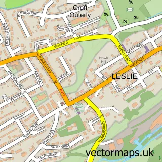
Nearby street map samples around Falkland

More street maps in Fife
750 metre map area coverage
Boundary, postcode and point of interest information for the 750m x 750m rectangle centred on this sample map.
Boundaries containing map centre
Constituency: North East Fife Co Const
District: Fife
Icb: Fife
Postcode District: KY15
Postcode Sector: KY15 7
Ward: Howe of Fife and Tay Coast Ward
Nearby boundaries intersecting sample
No additional intersecting boundaries found.
Postcode coverage
POI category counts
Flowers And Gifts Shop: 4
Bakery: 3
Hotel: 3
Art Gallery: 2
British Restaurant: 2
Convenience Store: 2
Gift Shop: 2
Hair Salon: 2
Tea Room: 2
Amateur Sports Team: 1
Sample points of interest
- Falkland AFC
- Foursticks Framing
- Maspie House
- Cottage Craft
- Bonnie Boo Kids
- A Bonnie Wee Cake
- Helen's Bakery
- The Wee Bakers
- Bank of Scotland
- Hair at The Wynd
- Pillars of Hercules Organic Farm
- Thehayloftfalkland
Create a larger editable map of Falkland
This sample shows only a 750 metre area. To create a larger map of Falkland, use our map builder to choose your own coverage area, add titles and download editable SVG, PDF and PNG files.
Create a custom map of Falkland