This Farnborough street map is a detailed vector street map covering a 750m x 750m area. Select a larger area to create and download your own vector street map of Farnborough.
The 750-metre map sample for Farnborough covers 92 mapped buildings and approximately 15.1 km of road detail, of which 3 named roads are named. The immediate area includes 1 GP surgery within 2 miles. The wider area around Farnborough features 2 tourism points of interest. To create a larger or custom map of Farnborough, the map builder lets you define your own coverage area and download editable SVG, PDF and PNG files.
Create a larger editable map of Farnborough
Choose any area you need and generate a high-quality vector map instantly. Perfect for print, planning, design, business and personal use.

This Farnborough street map in Warwickshire is available as downloadable SVG, PDF and PNG map files, or as a printed map for planning, business, display, education, local information and design work. You can also create a larger custom map area using the map selector.
What this Farnborough map sample shows
Farnborough lies within Farnborough Cp parish, part of Red Horse ward in the Stratford-On-Avon District local authority area. The postcode geography for this area includes the OX postcode area, the OX17 postcode district and the OX17 1 postcode sector. Residents fall under the Nhs Coventry And Warwickshire Integrated Care Board for NHS services.
Local features near Farnborough
Within 2 milesAmenities and services in and around Farnborough.
Administrative and postcode information for Farnborough
The local authority covering Farnborough is Stratford-On-Avon District, within the county of Warwickshire. The settlement lies within Red Horse ward and Farnborough Cp civil parish. The OX17 postcode district and OX17 1 postcode sector serve the immediate area. NHS provision in the area is delivered through South Warwickshire University Nhs Foundation Trust.
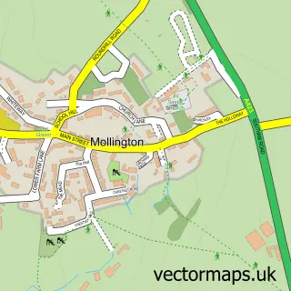
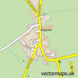
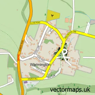
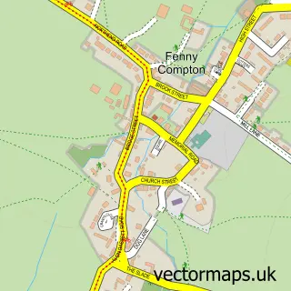
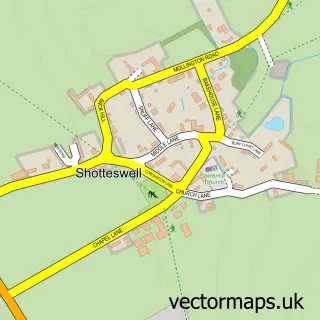
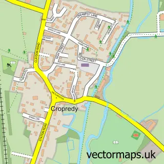
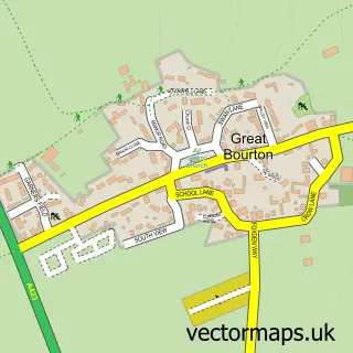
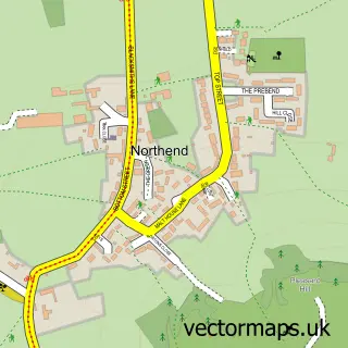
Nearby street map samples around Farnborough


More street maps in Warwickshire
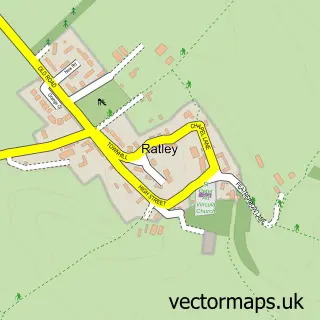
750 metre map area coverage
Boundary, postcode and point of interest information for the 750m x 750m rectangle centred on this sample map.
Boundaries containing map centre
Constituency: Kenilworth and Southam Co Const
County: Warwickshire County
District: Stratford-on-Avon District
Icb: NHS Coventry and Warwickshire ICB
Parish: Farnborough CP
Police Force: warwickshire
Postcode District: OX17
Postcode Sector: OX17 1
Ward: Bishop's Itchington, Fenny Compton & Napton Ward
Nearby boundaries intersecting sample
No additional intersecting boundaries found.
Postcode coverage
POI category counts
British Restaurant: 2
Landmark And Historical Building: 2
Anglican Church: 1
Church Cathedral: 1
Cottage: 1
Gastropub: 1
Horse Boarding: 1
Legal Services: 1
Playground: 1
Sample points of interest
- Farnborough - St. Botolph
- The Kitchen
- The Kitchen at Primrose Hill Farm
- St Botolphs Church
- Finch Cottage
- The Inn At Farnborough
- Farnborough House Stables
- Farmborough Hall National Trust
- Farnborough Hall
- HJS Personnel Services
- Farnborough Children's Park
Create a larger editable map of Farnborough
This sample shows only a 750 metre area. To create a larger map of Farnborough, use our map builder to choose your own coverage area, add titles and download editable SVG, PDF and PNG files.
Create a custom map of Farnborough