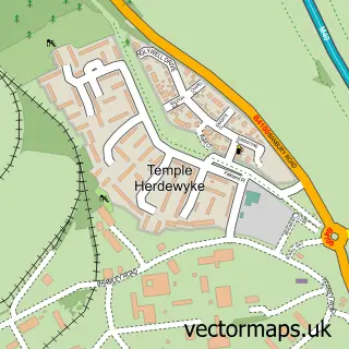
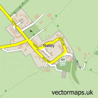
This Fenny Compton street map is a detailed vector street map covering a 750m x 750m area. Select a larger area to create and download your own vector street map of Fenny Compton.
The 750-metre map sample for Fenny Compton covers 197 mapped buildings and approximately 28.0 km of road detail, of which 18 named roads are named. The immediate area includes 1 school, 1 GP surgery, 1 pub and 1 MOT station within 2 miles. The wider area around Fenny Compton features 2 food and drink venues. To create a larger or custom map of Fenny Compton, the map builder lets you define your own coverage area and download editable SVG, PDF and PNG files.
Create a larger editable map of Fenny Compton
Choose any area you need and generate a high-quality vector map instantly. Perfect for print, planning, design, business and personal use.

This Fenny Compton street map in Warwickshire is available as downloadable SVG, PDF and PNG map files, or as a printed map for planning, business, display, education, local information and design work. You can also create a larger custom map area using the map selector.
What this Fenny Compton map sample shows
Fenny Compton lies within Fenny Compton Cp parish, part of Napton & Fenny Compton ward in the Stratford-On-Avon District local authority area. The postcode geography for this area includes the CV postcode area, the CV47 postcode district and the CV47 2 postcode sector. Residents fall under the Nhs Coventry And Warwickshire Integrated Care Board for NHS services.
Local features near Fenny Compton
Within 2 milesAmenities and services in and around Fenny Compton.
Administrative and postcode information for Fenny Compton
The local authority covering Fenny Compton is Stratford-On-Avon District, within the county of Warwickshire. The settlement lies within Napton & Fenny Compton ward and Fenny Compton Cp civil parish. The CV47 postcode district and CV47 2 postcode sector serve the immediate area. NHS provision in the area is delivered through South Warwickshire University Nhs Foundation Trust.
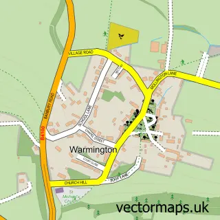
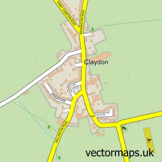
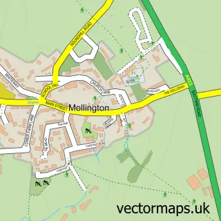
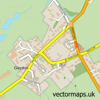
Nearby street map samples around Fenny Compton

More street maps in Warwickshire
750 metre map area coverage
Boundary, postcode and point of interest information for the 750m x 750m rectangle centred on this sample map.
Boundaries containing map centre
Constituency: Kenilworth and Southam Co Const
County: Warwickshire County
District: Stratford-on-Avon District
Icb: NHS Coventry and Warwickshire ICB
Parish: Fenny Compton CP
Police Force: warwickshire
Postcode District: CV47
Postcode Sector: CV47 2
Ward: Bishop's Itchington, Fenny Compton & Napton Ward
Nearby boundaries intersecting sample
No additional intersecting boundaries found.
Postcode coverage
POI category counts
Advertising Agency: 2
Doctor: 2
Accountant: 1
Anglican Church: 1
Arts And Crafts: 1
Atms: 1
Auto Parts And Supply Store: 1
Bathroom Remodeling: 1
Beauty Salon: 1
Business Management Services: 1
Sample points of interest
- E Kounting Limited
- Gay Turner Public Relations
- Propel Technology
- Avon Dassett & Fenny Compton - St. Peter and St. Clare
- Dassett Pottery Clay Club
- Heart of England Co-operative Fenny Compton, Fenny Compton
- Banbury Gear Boxes
- Eau Bathrooms
- Art Brasil Beauty
- Bright Vision Events Ltd. - Conferences And Team Building
- Two Birds Cafe
- Fenny Compton Village Hall
Create a larger editable map of Fenny Compton
This sample shows only a 750 metre area. To create a larger map of Fenny Compton, use our map builder to choose your own coverage area, add titles and download editable SVG, PDF and PNG files.
Create a custom map of Fenny Compton