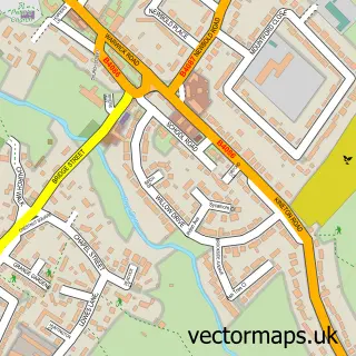
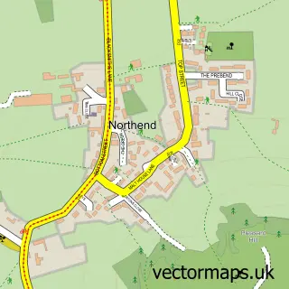
This Gaydon street map is a detailed vector street map covering a 750m x 750m area. Select a larger area to create and download your own vector street map of Gaydon.
The 750-metre map sample for Gaydon covers 198 mapped buildings and approximately 18.1 km of road detail, of which 14 named roads are named. The immediate area includes 1 pub and 1 MOT station within 2 miles. The wider area around Gaydon features 1 food and drink venue. To create a larger or custom map of Gaydon, the map builder lets you define your own coverage area and download editable SVG, PDF and PNG files.
Create a larger editable map of Gaydon
Choose any area you need and generate a high-quality vector map instantly. Perfect for print, planning, design, business and personal use.

This Gaydon street map in Warwickshire is available as downloadable SVG, PDF and PNG map files, or as a printed map for planning, business, display, education, local information and design work. You can also create a larger custom map area using the map selector.
What this Gaydon map sample shows
Gaydon lies within Gaydon Cp parish, part of Bishop's Itchington ward in the Stratford-On-Avon District local authority area. The postcode geography for this area includes the CV postcode area, the CV35 postcode district and the CV35 0 postcode sector. Residents fall under the Nhs Coventry And Warwickshire Integrated Care Board for NHS services.
Local features near Gaydon
Within 2 milesAmenities and services in and around Gaydon.
Administrative and postcode information for Gaydon
Gaydon lies within Gaydon Cp parish, part of Bishop's Itchington ward in the Stratford-On-Avon District local authority area. The postcode geography for this area includes the CV postcode area, the CV35 postcode district and the CV35 0 postcode sector. Residents fall under the Nhs Coventry And Warwickshire Integrated Care Board for NHS services.
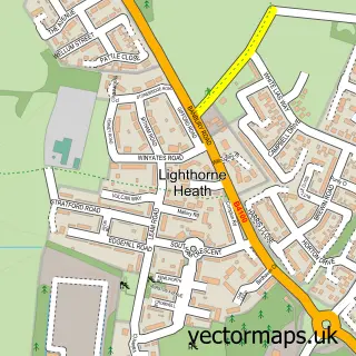
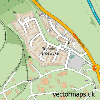
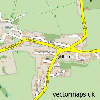
Nearby street map samples around Gaydon


More street maps in Warwickshire
750 metre map area coverage
Boundary, postcode and point of interest information for the 750m x 750m rectangle centred on this sample map.
Boundaries containing map centre
Constituency: Kenilworth and Southam Co Const
County: Warwickshire County
District: Stratford-on-Avon District
Icb: NHS Coventry and Warwickshire ICB
Parish: Gaydon CP
Police Force: warwickshire
Postcode District: CV35
Postcode Sector: CV35 0
Ward: Gaydon, Kineton & Upper Lighthorne Ward
Nearby boundaries intersecting sample
No additional intersecting boundaries found.
Postcode coverage
POI category counts
Gas Station: 4
Bakery: 2
Beauty Salon: 2
Agricultural Service: 1
Anglican Church: 1
Assisted Living Facility: 1
Church Cathedral: 1
Convenience Store: 1
Divorce And Family Law: 1
Event Technology Service: 1
Sample points of interest
- AMTEC Smart Farming Solutions
- Gaydon with Chadshunt - St. Giles
- Barnfields
- Bloon & Co.
- Greggs
- Art Brasil Beauty
- Head 2 Toe Beauty Room, Gaydon
- St Giles Church
- SPAR
- Woolley & Co. Solicitors
- Showman Events Support
- Courier Expert
Create a larger editable map of Gaydon
This sample shows only a 750 metre area. To create a larger map of Gaydon, use our map builder to choose your own coverage area, add titles and download editable SVG, PDF and PNG files.
Create a custom map of Gaydon