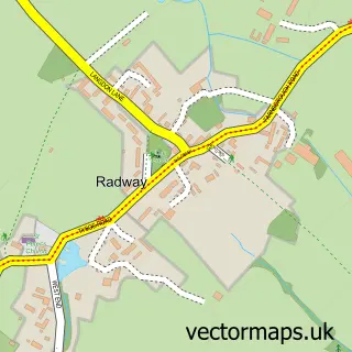
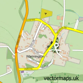
This Temple Herdewyke street map is a detailed vector street map covering a 750m x 750m area. Select a larger area to create and download your own vector street map of Temple Herdewyke.
The 750-metre map sample for Temple Herdewyke covers 156 mapped buildings and approximately 30.4 km of road detail, of which 6 named roads are named. The immediate area includes 1 school. To create a larger or custom map of Temple Herdewyke, the map builder lets you define your own coverage area and download editable SVG, PDF and PNG files.
Create a larger editable map of Temple Herdewyke
Choose any area you need and generate a high-quality vector map instantly. Perfect for print, planning, design, business and personal use.

This Temple Herdewyke street map in Warwickshire is available as downloadable SVG, PDF and PNG map files, or as a printed map for planning, business, display, education, local information and design work. You can also create a larger custom map area using the map selector.
What this Temple Herdewyke map sample shows
Temple Herdewyke lies within Burton Dassett Cp parish, part of Bishop's Itchington ward in the Stratford-On-Avon District local authority area. The postcode geography for this area includes the CV postcode area, the CV47 postcode district and the CV47 2 postcode sector. Residents fall under the Nhs Coventry And Warwickshire Integrated Care Board for NHS services.
Local features near Temple Herdewyke
Within 2 milesAmenities and services in and around Temple Herdewyke.
Administrative and postcode information for Temple Herdewyke
The local authority covering Temple Herdewyke is Stratford-On-Avon District, within the county of Warwickshire. The settlement lies within Bishop's Itchington ward and Burton Dassett Cp civil parish. The CV47 postcode district and CV47 2 postcode sector serve the immediate area. NHS provision in the area is delivered through South Warwickshire University Nhs Foundation Trust.
Nearby street map samples around Temple Herdewyke
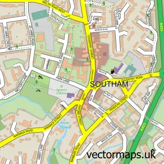

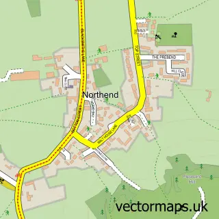
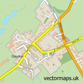
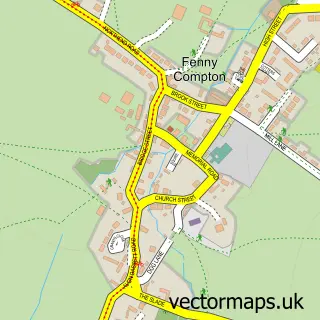
More street maps in Warwickshire
750 metre map area coverage
Boundary, postcode and point of interest information for the 750m x 750m rectangle centred on this sample map.
Boundaries containing map centre
Constituency: Kenilworth and Southam Co Const
County: Warwickshire County
District: Stratford-on-Avon District
Icb: NHS Coventry and Warwickshire ICB
Parish: Burton Dassett CP
Police Force: warwickshire
Postcode District: CV47
Postcode Sector: CV47 2
Ward: Gaydon, Kineton & Upper Lighthorne Ward
Nearby boundaries intersecting sample
Postcode District: CV35
Postcode Sector: CV35 0
Postcode coverage
POI category counts
Pet Groomer: 2
Armed Forces Branch: 1
Community Center: 1
Home Developer: 1
Shopping: 1
Sample points of interest
- Mod Kineton
- Temple Herdewyke Village Hall
- Mulberry Homes - The Templars
- Perky Paws
- Round of Appaws Pet Care
- The Iconic Express
Create a larger editable map of Temple Herdewyke
This sample shows only a 750 metre area. To create a larger map of Temple Herdewyke, use our map builder to choose your own coverage area, add titles and download editable SVG, PDF and PNG files.
Create a custom map of Temple Herdewyke