This Wellesbourne street map is a detailed vector street map covering a 750m x 750m area. Select a larger area to create and download your own vector street map of Wellesbourne.
The 750-metre map sample for Wellesbourne covers 455 mapped buildings and approximately 27.2 km of road detail, of which 30 named roads are named. The immediate area includes 1 school, 1 GP surgery, 3 pubs and 1 MOT station. The wider area around Wellesbourne features 1 tourism point of interest, 5 food and drink venues and 1 campsite within 2 miles. To create a larger or custom map of Wellesbourne, the map builder lets you define your own coverage area and download editable SVG, PDF and PNG files.
Create a larger editable map of Wellesbourne
Choose any area you need and generate a high-quality vector map instantly. Perfect for print, planning, design, business and personal use.

This Wellesbourne street map in Warwickshire is available as downloadable SVG, PDF and PNG map files, or as a printed map for planning, business, display, education, local information and design work. You can also create a larger custom map area using the map selector.
What this Wellesbourne map sample shows
Wellesbourne lies within Wellesbourne And Walton Cp parish, part of Wellesbourne East ward in the Stratford-On-Avon District local authority area. The postcode geography for this area includes the CV postcode area, the CV35 postcode district and the CV35 9 postcode sector. Residents fall under the Nhs Coventry And Warwickshire Integrated Care Board for NHS services.
Local features near Wellesbourne
Within 2 milesAmenities and services in and around Wellesbourne.
Administrative and postcode information for Wellesbourne
Wellesbourne lies within Wellesbourne And Walton Cp parish, part of Wellesbourne East ward in the Stratford-On-Avon District local authority area. The postcode geography for this area includes the CV postcode area, the CV35 postcode district and the CV35 9 postcode sector. Residents fall under the Nhs Coventry And Warwickshire Integrated Care Board for NHS services.
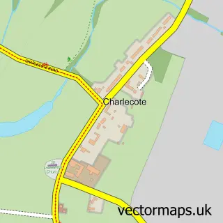
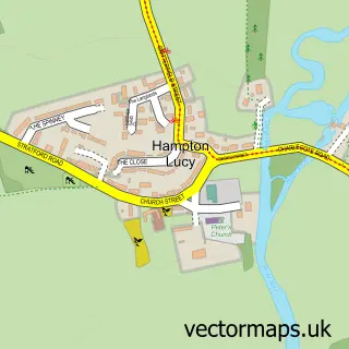
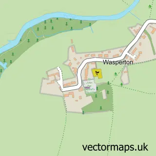
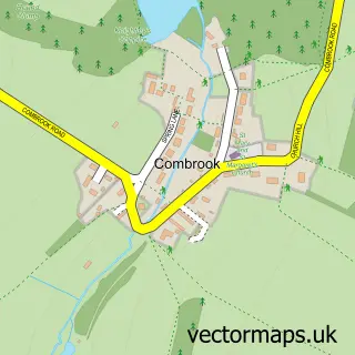
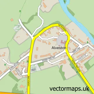
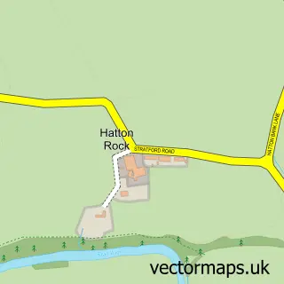
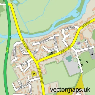
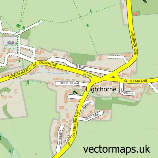
Nearby street map samples around Wellesbourne


More street maps in Warwickshire
750 metre map area coverage
Boundary, postcode and point of interest information for the 750m x 750m rectangle centred on this sample map.
Boundaries containing map centre
Constituency: Kenilworth and Southam Co Const
County: Warwickshire County
District: Stratford-on-Avon District
Icb: NHS Coventry and Warwickshire ICB
Parish: Wellesbourne and Walton CP
Police Force: warwickshire
Postcode District: CV35
Postcode Sector: CV35 9
Ward: Wellesbourne East & Rural Ward
Nearby boundaries intersecting sample
Ward: Wellesbourne North & Rural Ward, Wellesbourne South Ward
Postcode coverage
POI category counts
Automotive Repair: 3
Beauty Salon: 3
Butcher Shop: 3
Church Cathedral: 3
Doctor: 3
Pub: 3
Barber: 2
Convenience Store: 2
Food Delivery Service: 2
Furniture Store: 2
Sample points of interest
- Wellesbourne Village
- The Quality Graphics Co
- Swan School of Tai Chi
- Wellesbourne - St. Peter
- Craven & White
- Bridge Garage
- Shakespeare Service Centre
- Shakespeare Service Centre
- West's Bakery
- Razors II Barbers Shop
- The Den - Wellesbourne
- A Blissful Balance
Create a larger editable map of Wellesbourne
This sample shows only a 750 metre area. To create a larger map of Wellesbourne, use our map builder to choose your own coverage area, add titles and download editable SVG, PDF and PNG files.
Create a custom map of Wellesbourne