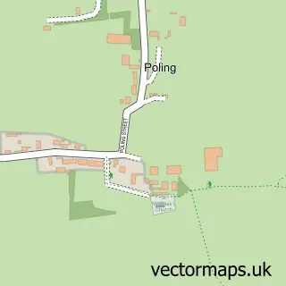
This Ferring street map is a detailed vector street map covering a 750m x 750m area. Select a larger area to create and download your own vector street map of Ferring.
The 750-metre map sample for Ferring covers 617 mapped buildings and approximately 17.2 km of road detail, of which 45 named roads are named. The immediate area includes 3 GP surgeries within 2 miles, 1 pub and 1 MOT station, with 10 within 2 miles. The wider area around Ferring features 3 food and drink venues and 1 hotel. To create a larger or custom map of Ferring, the map builder lets you define your own coverage area and download editable SVG, PDF and PNG files.
Create a larger editable map of Ferring
Choose any area you need and generate a high-quality vector map instantly. Perfect for print, planning, design, business and personal use.

This Ferring street map in West Sussex is available as downloadable SVG, PDF and PNG map files, or as a printed map for planning, business, display, education, local information and design work. You can also create a larger custom map area using the map selector.
What this Ferring map sample shows
Ferring lies within Ferring Cp parish, part of Ferring ward in the Arun District local authority area. The postcode geography for this area includes the BN postcode area, the BN12 postcode district and the BN12 5 postcode sector. Residents fall under the Nhs Sussex Integrated Care Board for NHS services.
Local features near Ferring
Within 2 milesAmenities and services in and around Ferring.
Administrative and postcode information for Ferring
Ferring lies within Ferring Cp parish, part of Ferring ward in the Arun District local authority area. The postcode geography for this area includes the BN postcode area, the BN12 postcode district and the BN12 5 postcode sector. Residents fall under the Nhs Sussex Integrated Care Board for NHS services.
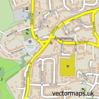
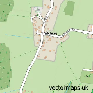
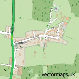
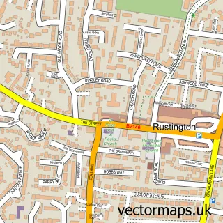
Nearby street map samples around Ferring
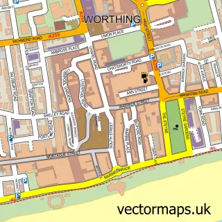

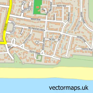
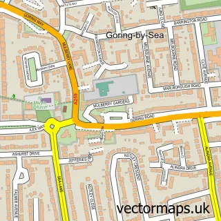
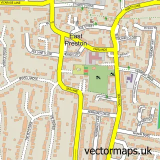
More street maps in West Sussex
750 metre map area coverage
Boundary, postcode and point of interest information for the 750m x 750m rectangle centred on this sample map.
Boundaries containing map centre
Constituency: Worthing West Co Const
County: West Sussex County
District: Arun District
Icb: NHS Surrey and Sussex ICB
Parish: Ferring CP
Police Force: sussex
Postcode District: BN12
Postcode Sector: BN12 5
Ward: Ferring Ward
Nearby boundaries intersecting sample
Parish: Kingston CP
Postcode District: BN16
Postcode Sector: BN16 1
Ward: East Preston Ward
Postcode coverage
POI category counts
Professional Services: 3
Real Estate Agent: 3
Assisted Living Facility: 2
Electrician: 2
Gardener: 2
Advertising Agency: 1
Architectural Designer: 1
Arts And Entertainment: 1
Auto Electrical Repair: 1
Bakery: 1
Sample points of interest
- Stratford Design & Illustration
- Studio15 Architects
- Patricia Hall Pictures
- Cornwell House
- Ferringham House
- S R S Electrical Innovations Ltd.
- Cake Lady
- The Little Tipple Ferring
- Styled By Holly
- Vanity Flair Boutique
- Benton Weatherstone Ltd
- Jaaflong Tandoori
Create a larger editable map of Ferring
This sample shows only a 750 metre area. To create a larger map of Ferring, use our map builder to choose your own coverage area, add titles and download editable SVG, PDF and PNG files.
Create a custom map of Ferring