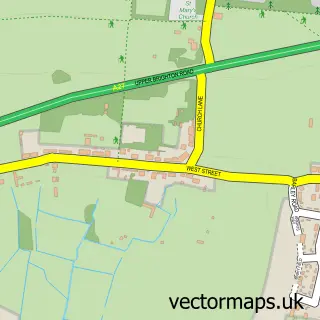
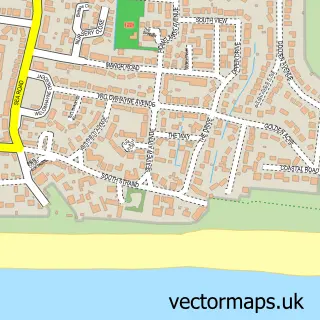
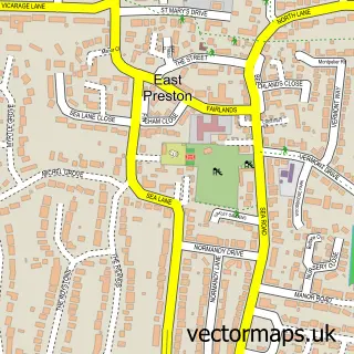
This Worthing street map is a detailed vector street map covering a 750m x 750m area. Select a larger area to create and download your own vector street map of Worthing.
The 750-metre map sample for Worthing covers 205 mapped buildings and approximately 21.1 km of road detail, of which 53 named roads are named. The immediate area includes 1 school, 8 GP surgeries within 2 miles, 13 pubs and 25 MOT stations within 2 miles. The wider area around Worthing features 7 tourism points of interest, 79 food and drink venues and 7 hotels. To create a larger or custom map of Worthing, the map builder lets you define your own coverage area and download editable SVG, PDF and PNG files.
Create a larger editable map of Worthing
Choose any area you need and generate a high-quality vector map instantly. Perfect for print, planning, design, business and personal use.

This Worthing street map in West Sussex is available as downloadable SVG, PDF and PNG map files, or as a printed map for planning, business, display, education, local information and design work. You can also create a larger custom map area using the map selector.
What this Worthing map sample shows
Worthing lies within West Sussex County parish, part of Central ward in the Worthing District (B) local authority area. The postcode geography for this area includes the BN postcode area, the BN11 postcode district and the BN11 1 postcode sector. Residents fall under the Nhs Sussex Integrated Care Board for NHS services.
Local features near Worthing
Within 2 milesAmenities and services in and around Worthing.
Administrative and postcode information for Worthing
Worthing lies within West Sussex County parish, part of Central ward in the Worthing District (B) local authority area. The postcode geography for this area includes the BN postcode area, the BN11 postcode district and the BN11 1 postcode sector. Residents fall under the Nhs Sussex Integrated Care Board for NHS services.
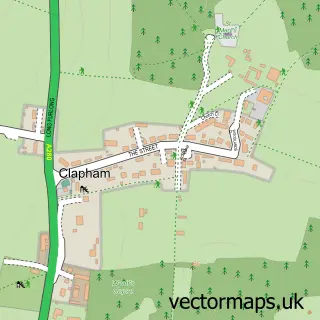
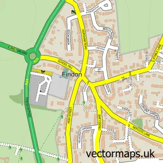
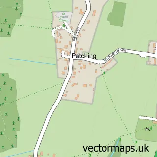
Nearby street map samples around Worthing

More street maps in West Sussex
750 metre map area coverage
Boundary, postcode and point of interest information for the 750m x 750m rectangle centred on this sample map.
Boundaries containing map centre
Constituency: Worthing West Co Const
County: West Sussex County
District: Worthing District (B)
Icb: NHS Surrey and Sussex ICB
Police Force: sussex
Postcode District: BN11
Postcode Sector: BN11 3
Ward: Central Ward
Nearby boundaries intersecting sample
Postcode Sector: BN11 1, BN11 2
Postcode coverage
POI category counts
Cafe: 29
Clothing Store: 29
Bar: 25
Restaurant: 24
Hair Salon: 23
Jewelry Store: 19
Professional Services: 19
Real Estate Agent: 19
Beauty Salon: 17
Barber: 15
Sample points of interest
- PHH Accountancy Limited
- Smart & Co
- Tax Island
- AMC Leisure GOLF
- Metamorphosis Care Business Systems
- John Rogers Acupuncture and Sports Injury Clinic
- Bluestone B 2 B
- Collaborate
- Creative Instinct Design & Marketing
- Firefly Creative
- Pegasus Public Relations
- Pharos
Create a larger editable map of Worthing
This sample shows only a 750 metre area. To create a larger map of Worthing, use our map builder to choose your own coverage area, add titles and download editable SVG, PDF and PNG files.
Create a custom map of Worthing